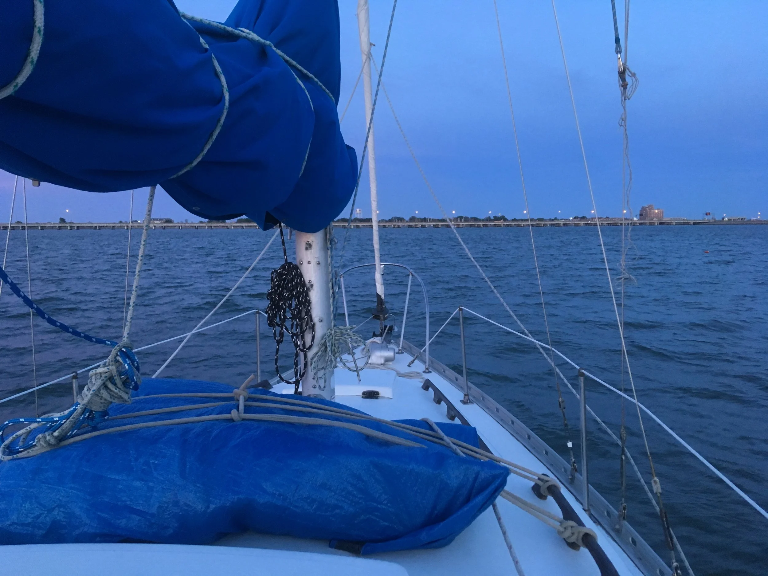
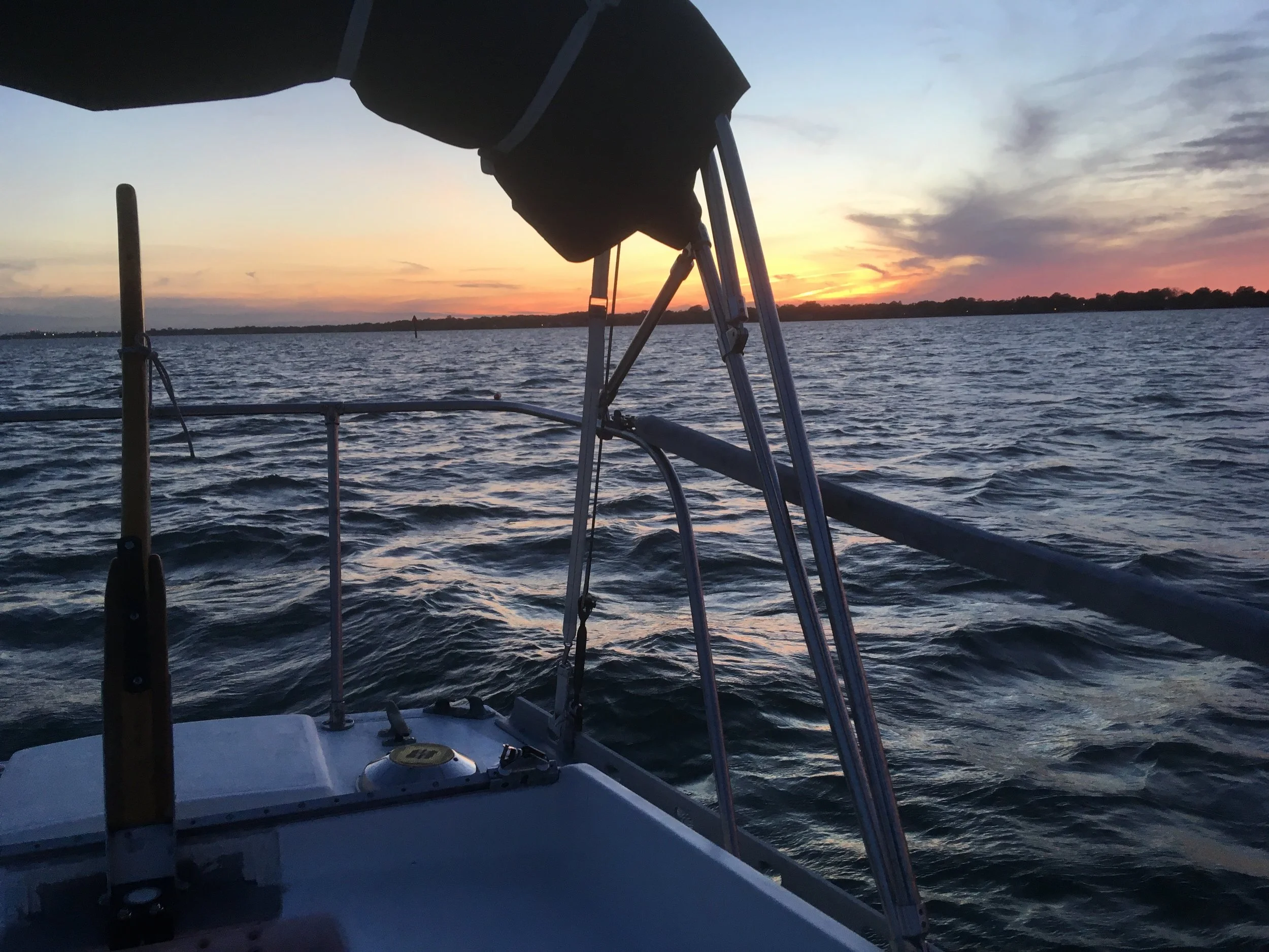
CHARLESTON NC TO NORFOLK VA
After a leisurely 5 days in Charleston and a wonderful reunion with my sweetheart, it was time to head north again.
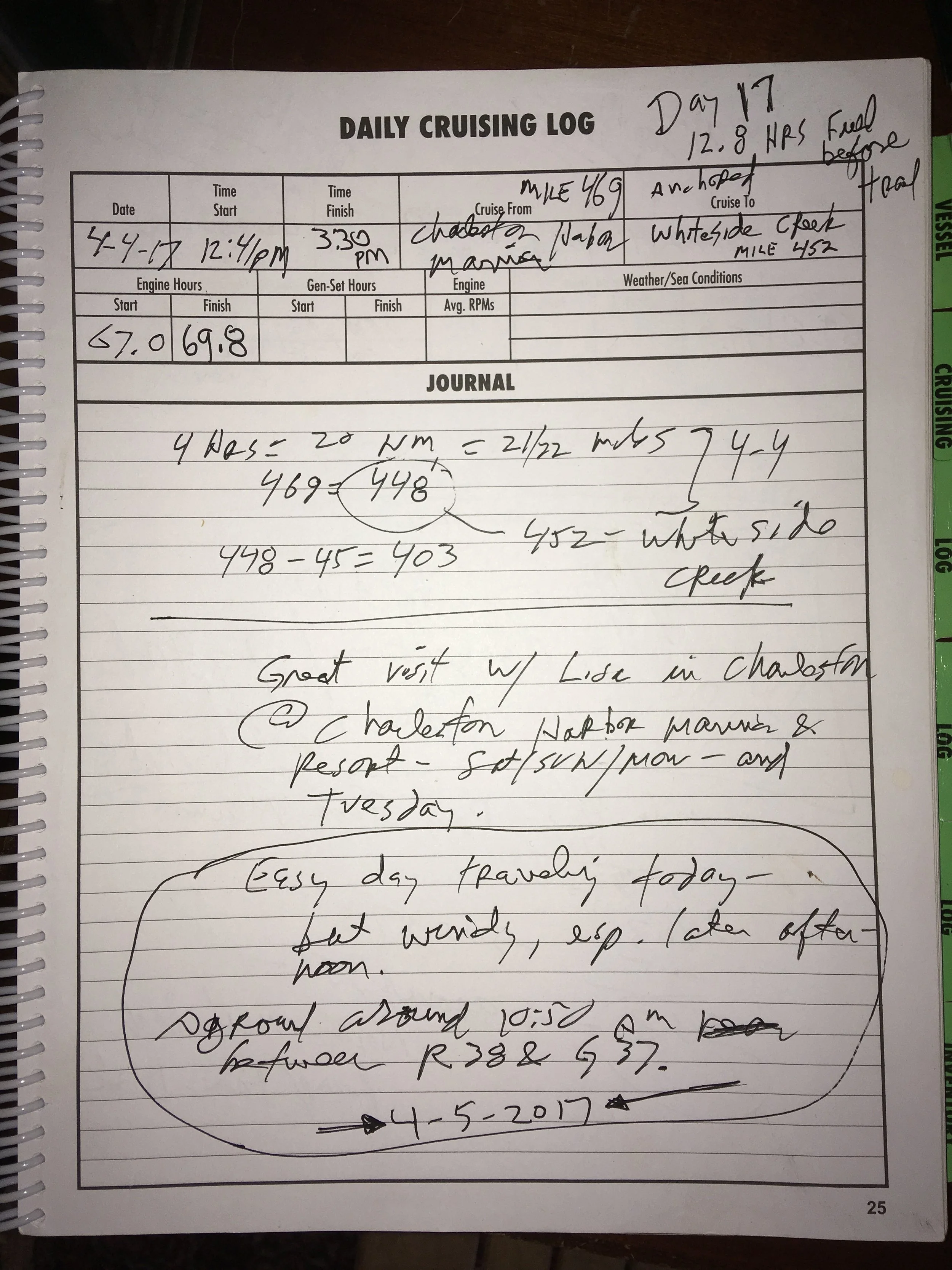
Day 17
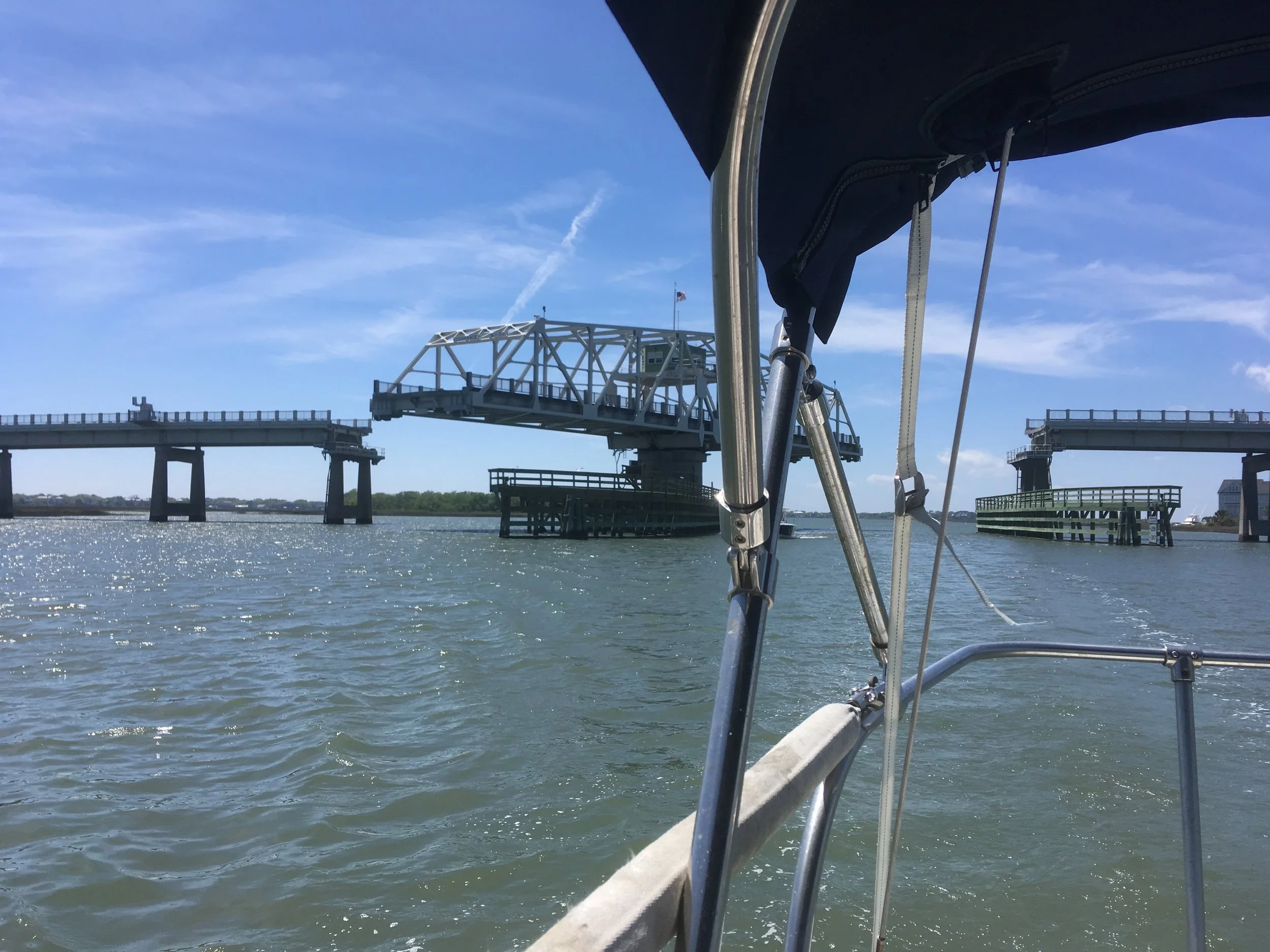
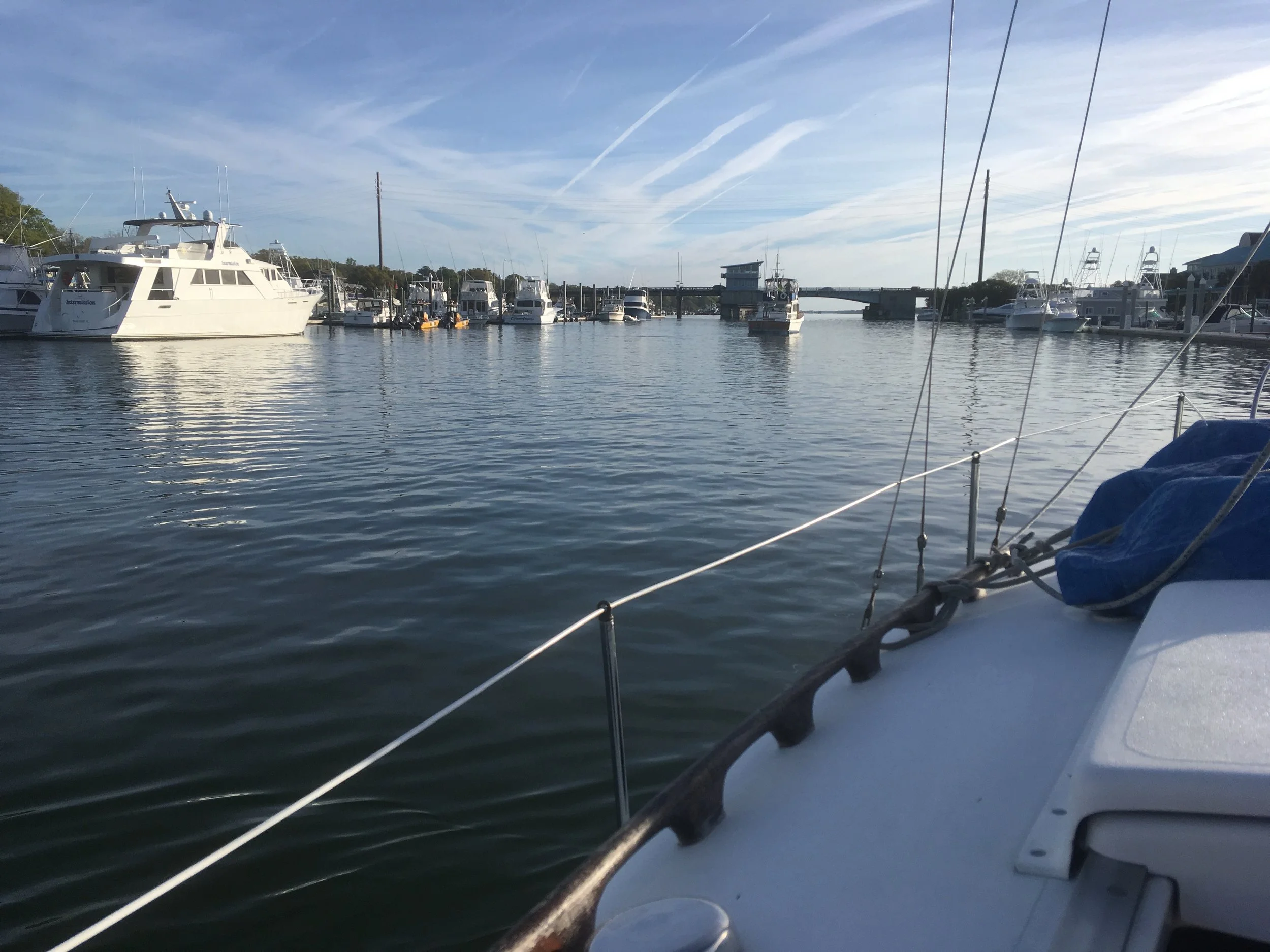
Another swing bridge
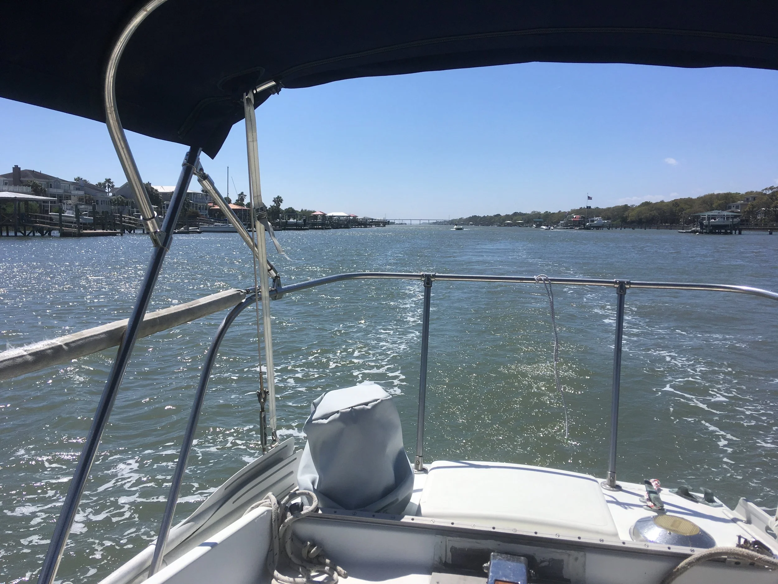
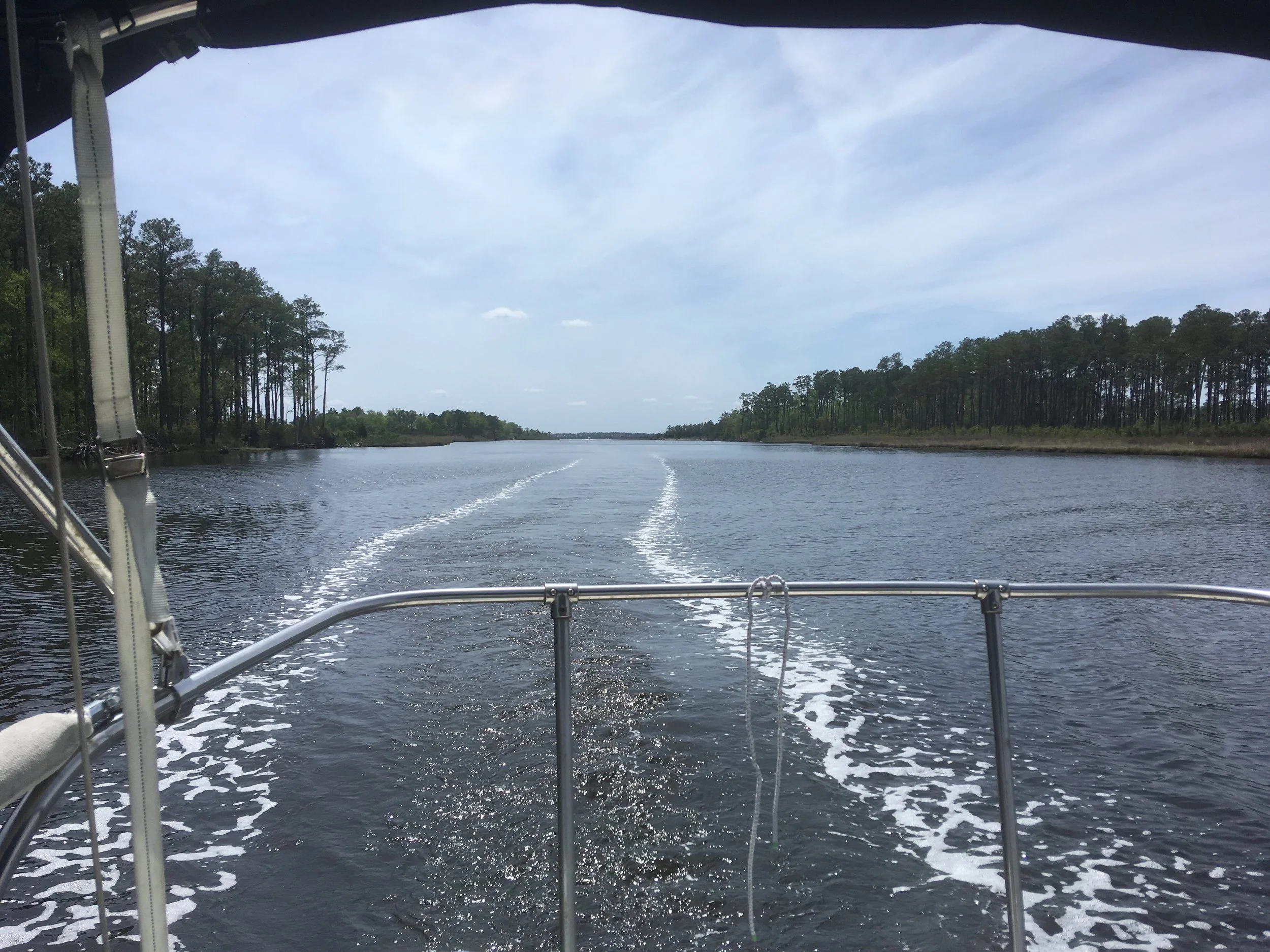
A heavily populated section of the ICW looking aft
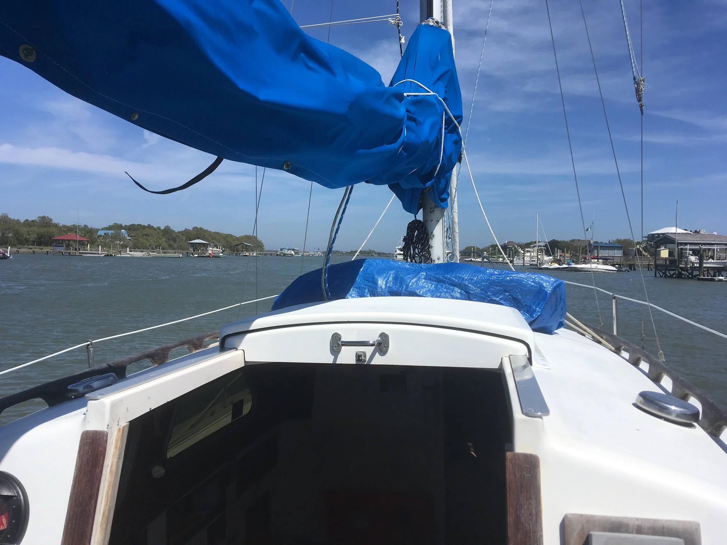
and looking forward. As I recall it was quite a windy day. I complained to my friend Ed about how windy it was, and in an incredulous tone he said, well that’s because you left so early. It always blows hard in the spring. And I said, why the hell didn’t you tell me that before I left!
My neighbor at this anchorage. Nice to be out of all that development.
Day 18 and 19
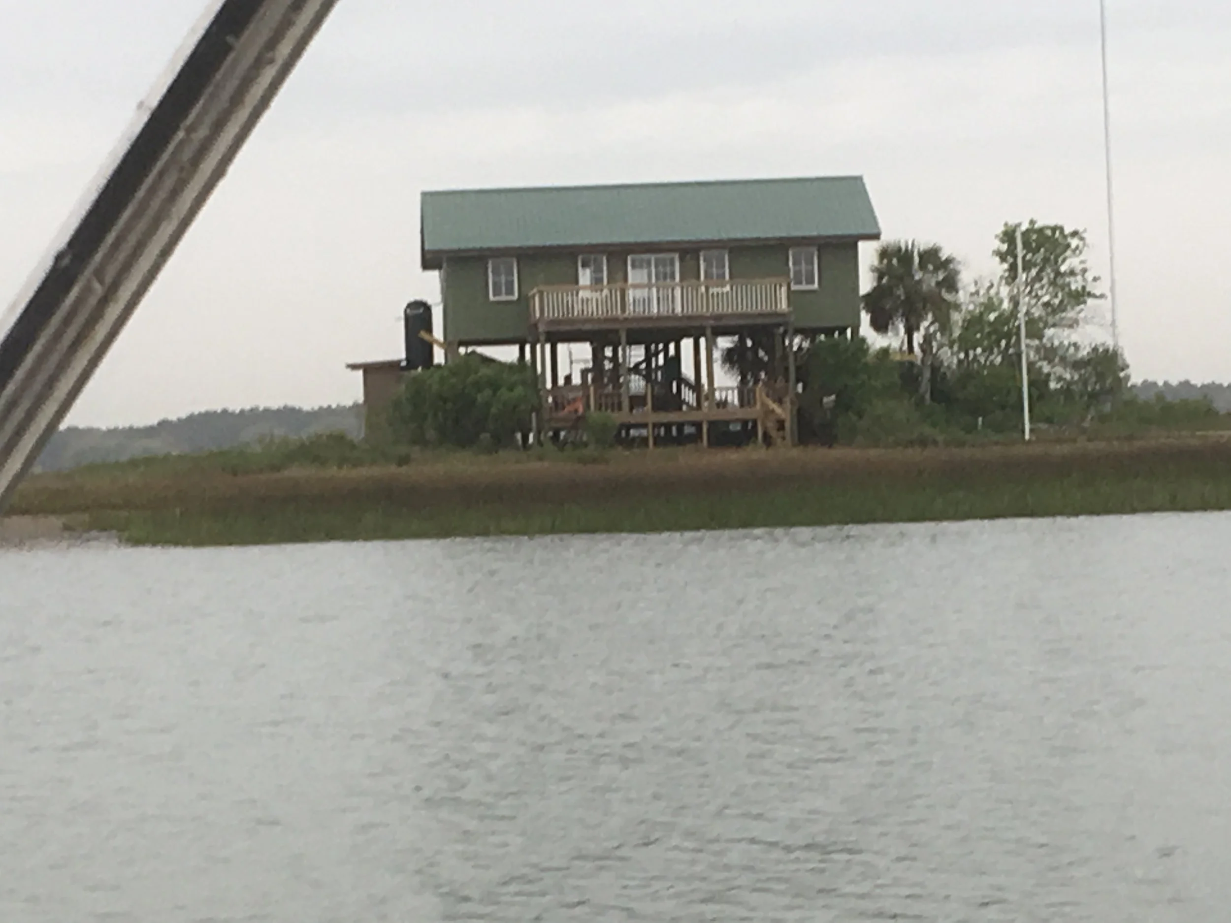
A random house, built to stay above flood water.
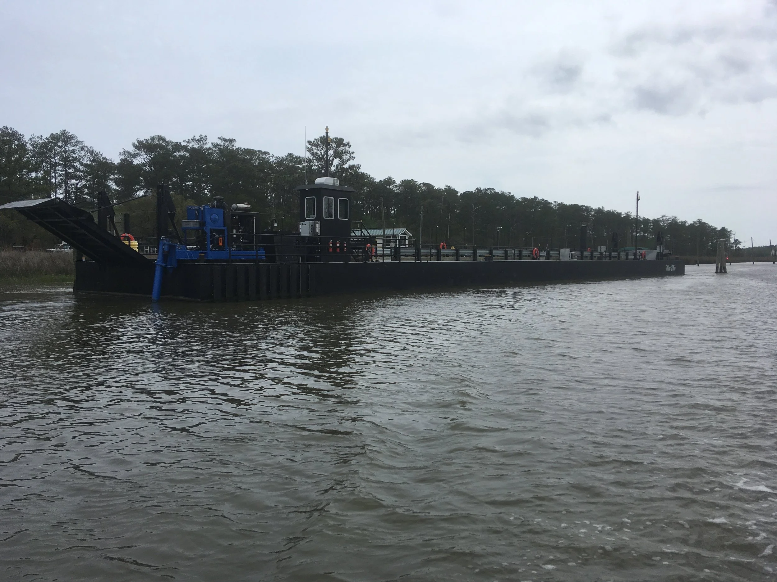
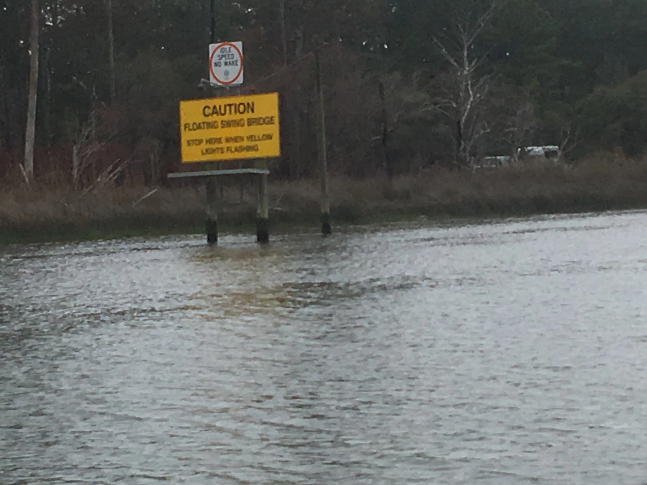
This was an interesting and weird thing. Fortunately the floating bridge was opened when I happened by, and nobody was around.
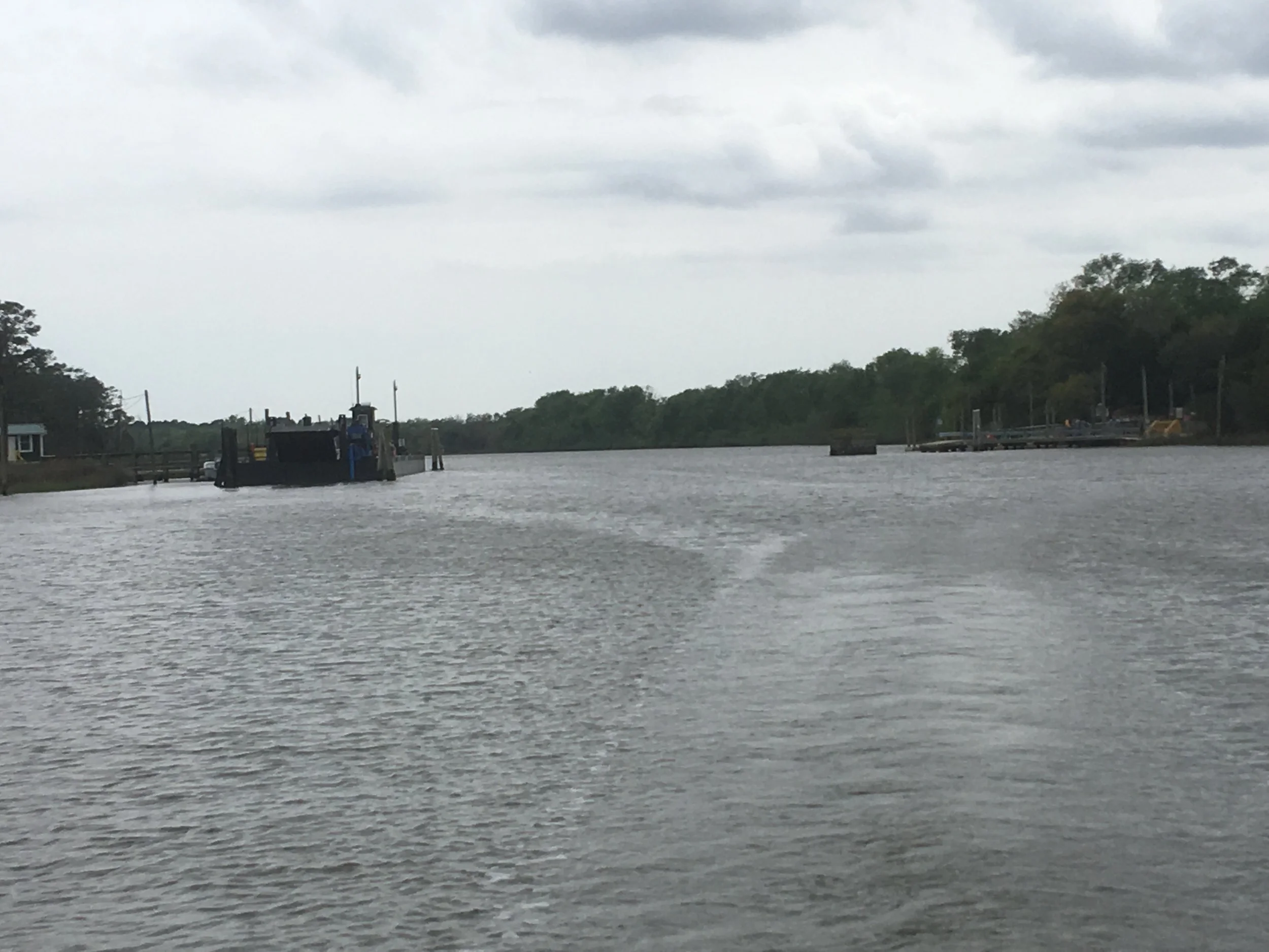
I think this is looking aft, back at the floating bridge.
It started to blow hard in the afternoon and I decided not to try to anchor, and stayed at a marina.
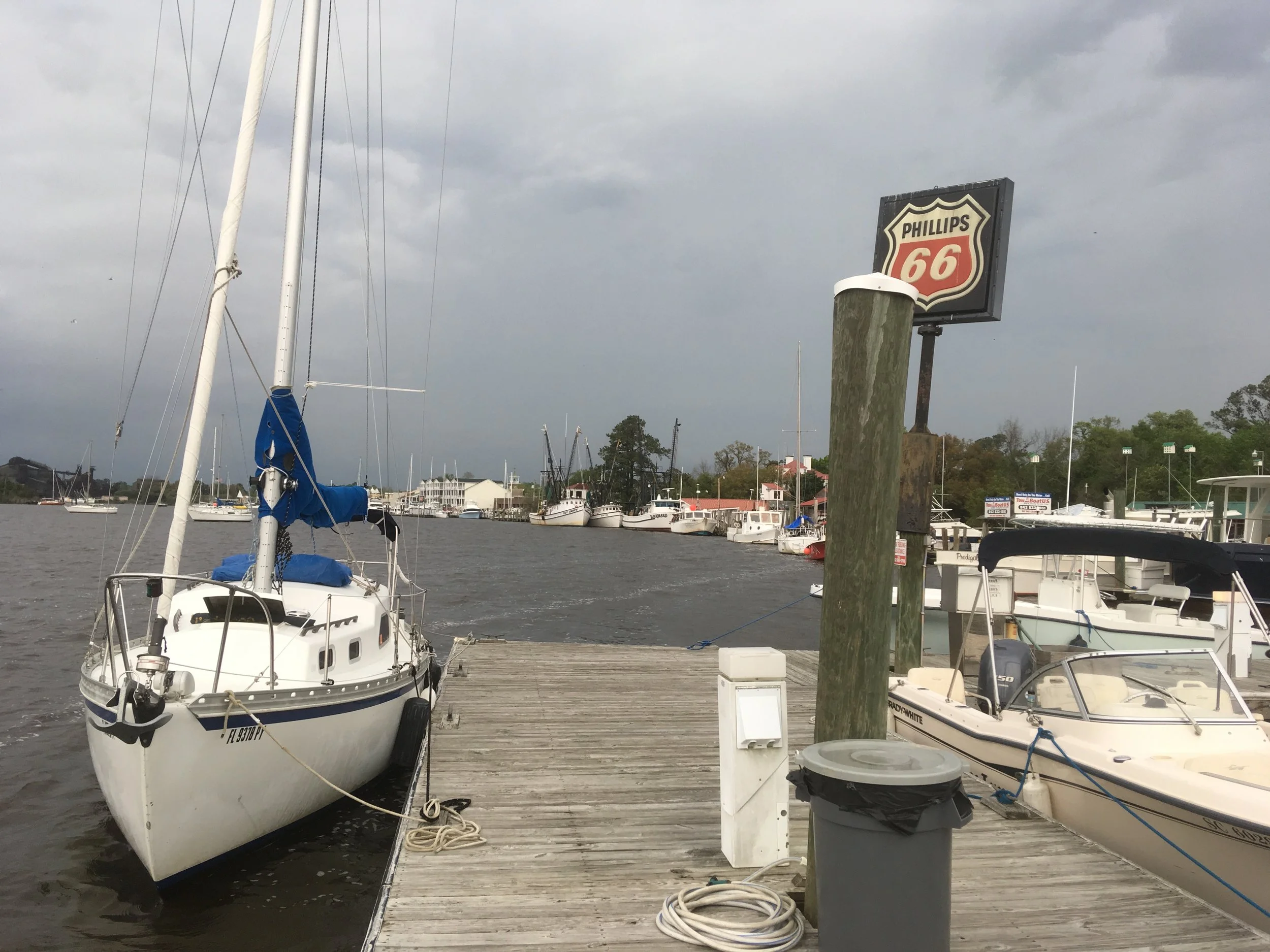
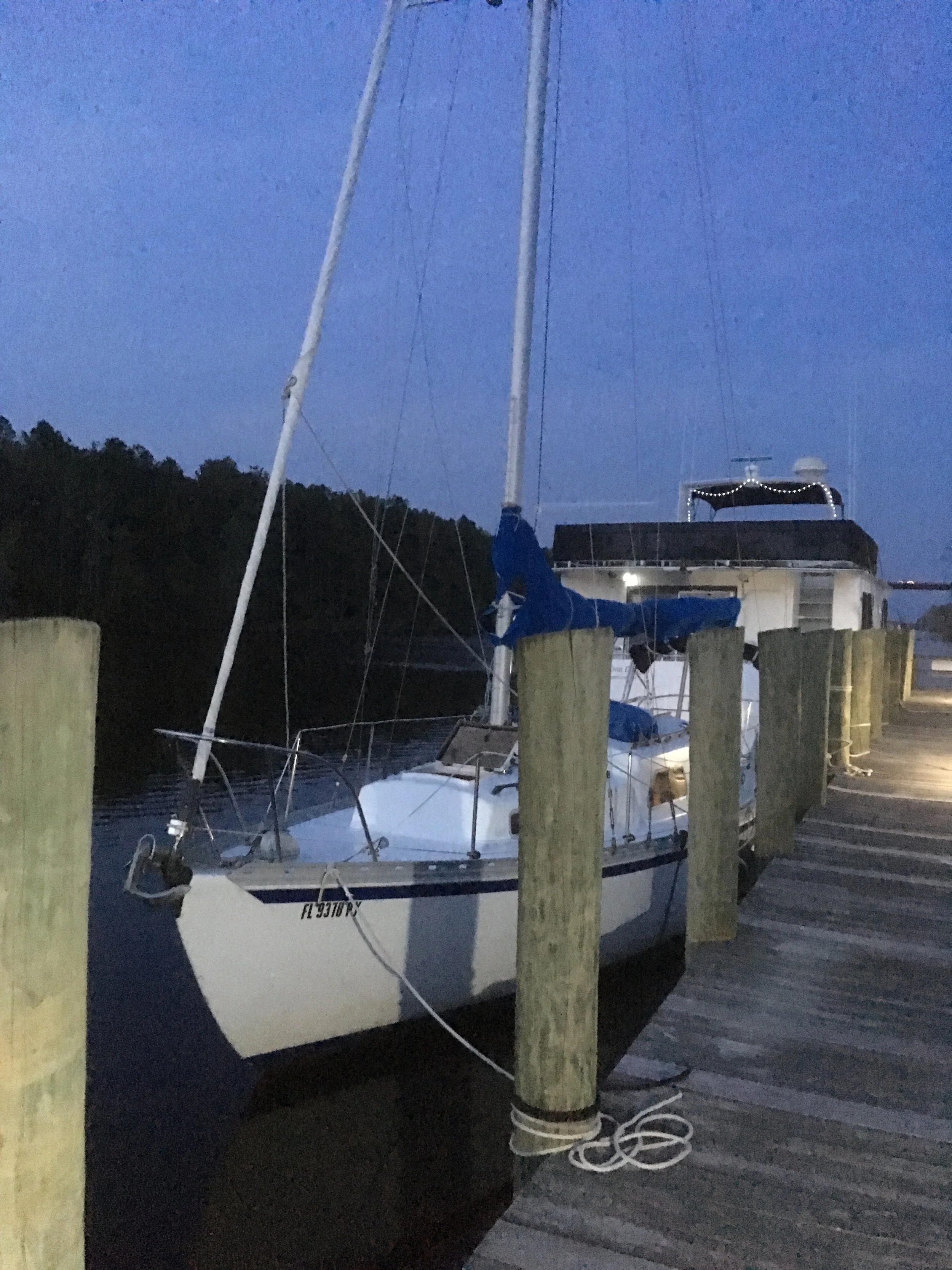
Fairlady tied up at the Dry Stack marina. It blew like snot the next day, so I stayed put. A more macho sailor would have anchored, but I was happy to have the security of being tied up at a dock. When you stop a marina like this for a night or two, your called a “transient.” As I recall, the cost for this was generally around $1.50 per foot of boat length (higher as I went north and in more populated and popular areas). I spent a fair amount of money staying in marina’s, but what are 401k’s for? (Ha ha)
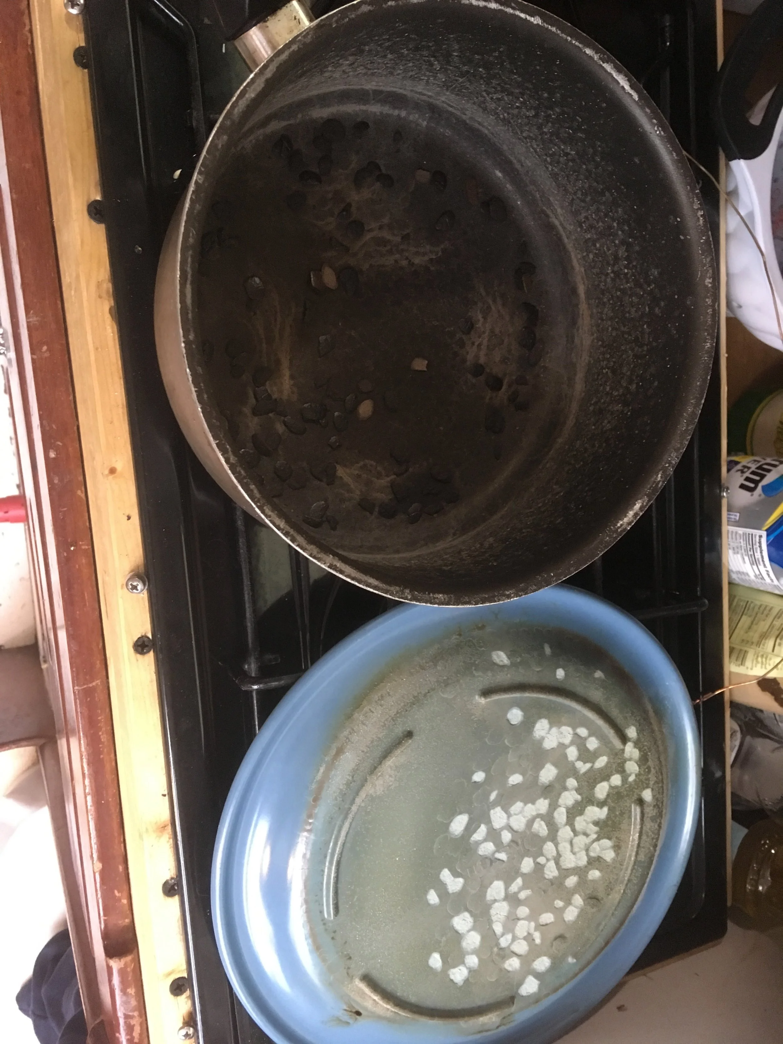
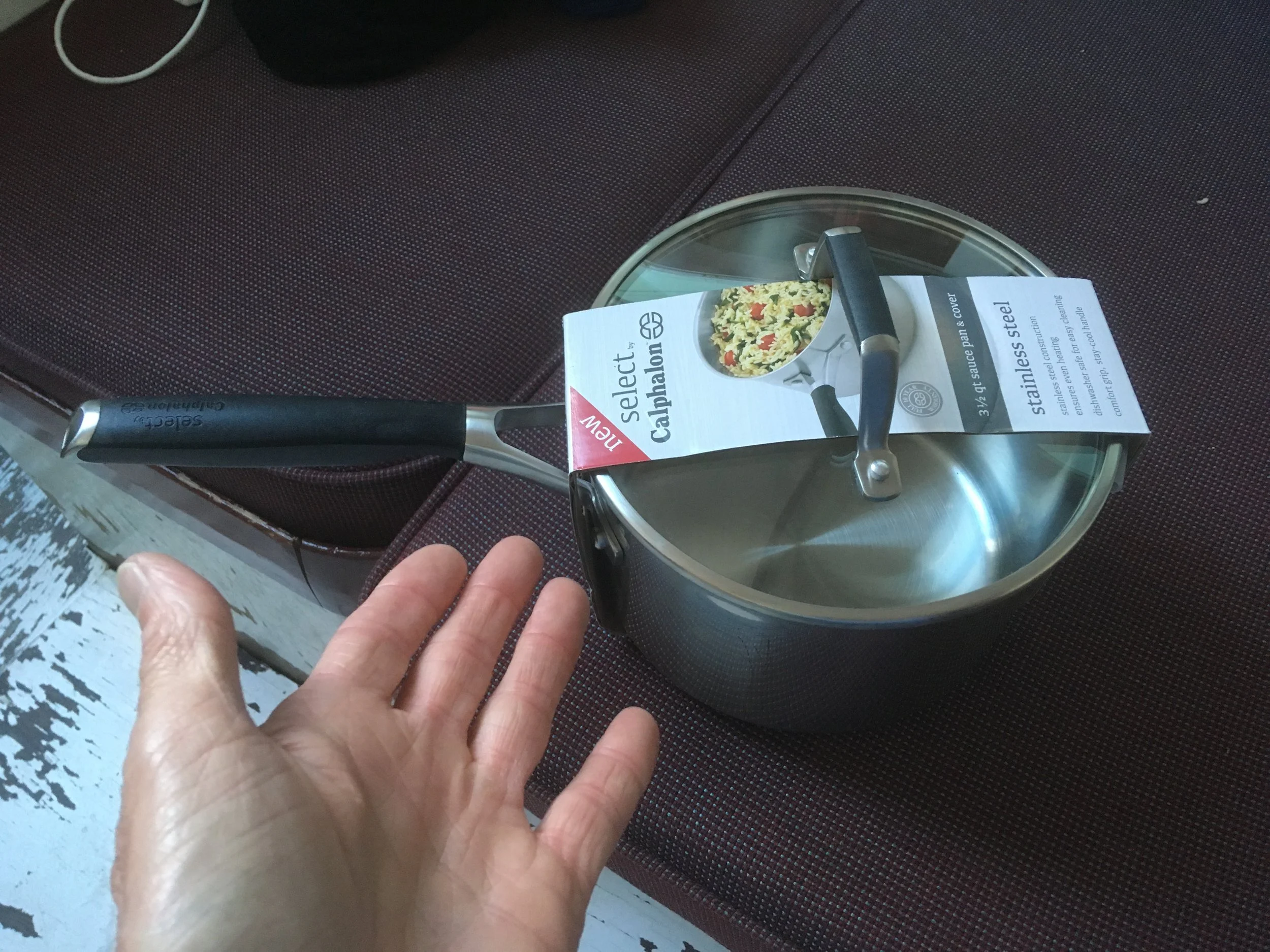
As I was approaching Georgetown, I noticed a funny smell, and pushed back the companionway hatch and saw there was smoke in the cabin. Holy crap, what’s going on? At first I assumed there was a problem with the engine, and since there was plenty of room around me, I shut it down while I investigated. It took me a while to notice the burned up pan on the galley with the heat still going under it. Oh boy. I had put on water to make a cup of coffee. Then I closed the companionway (the entrance to the cabin from the cockpit) to lesson the engine’s noise, and forgot all about it. Oh well.
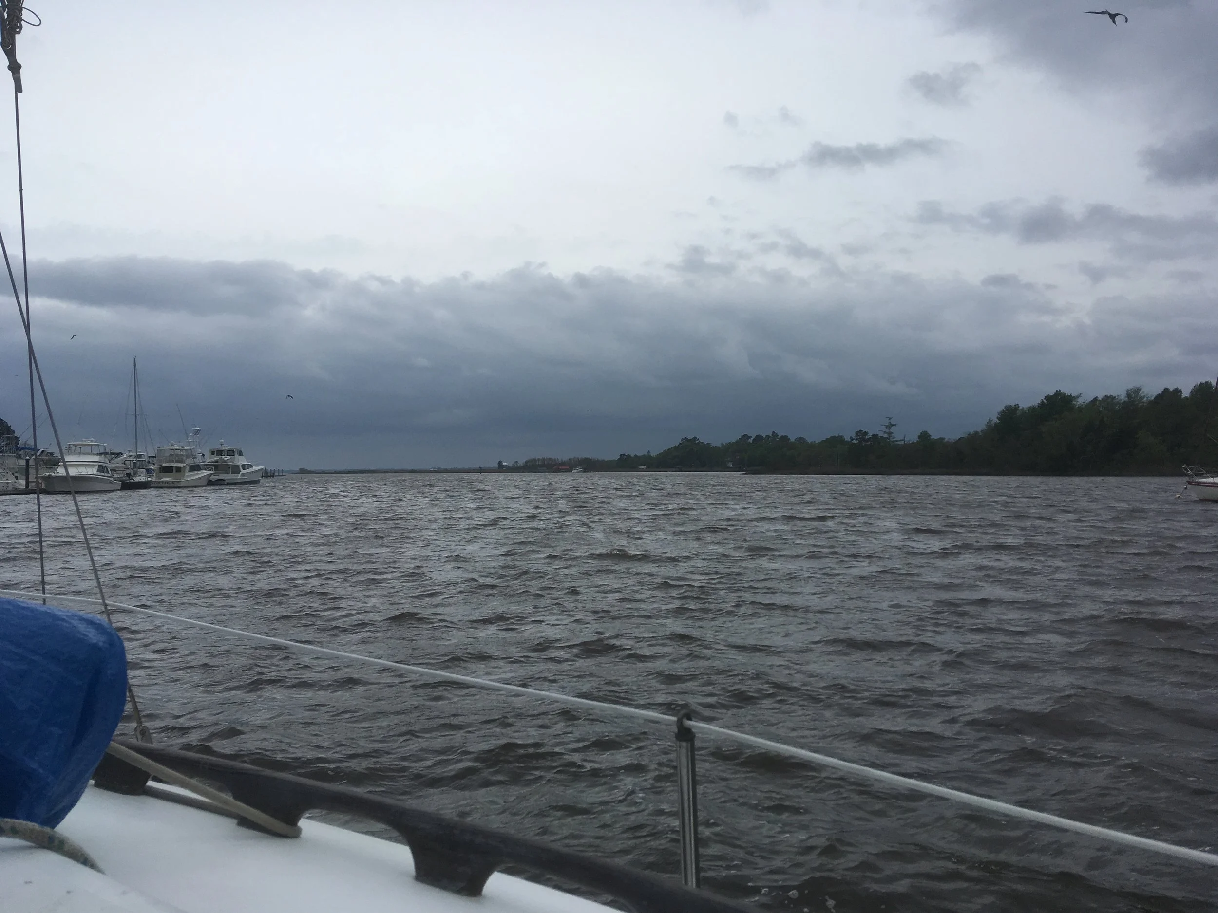
That’s a fairly threatening looking sky, ain’t it?
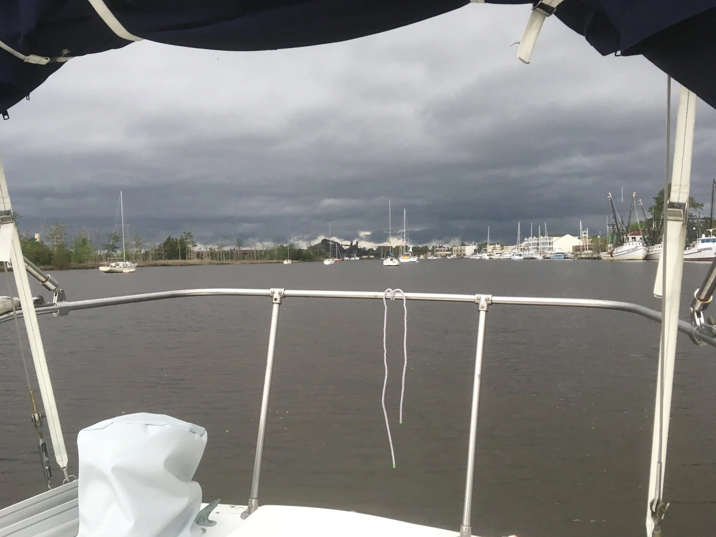
Time to get going upriver.
Stil at Dry Stack. Bad weather passed and time to get going
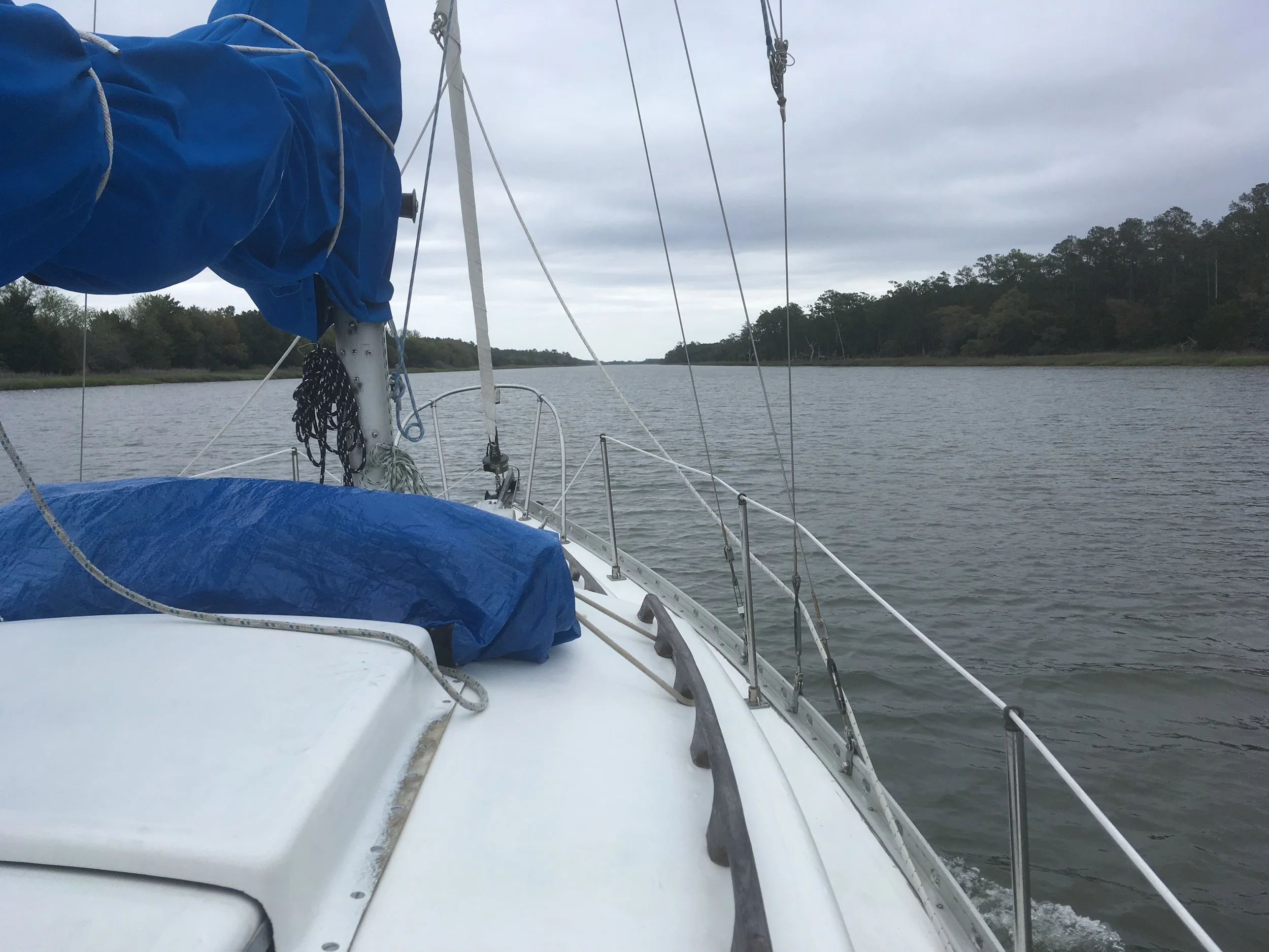
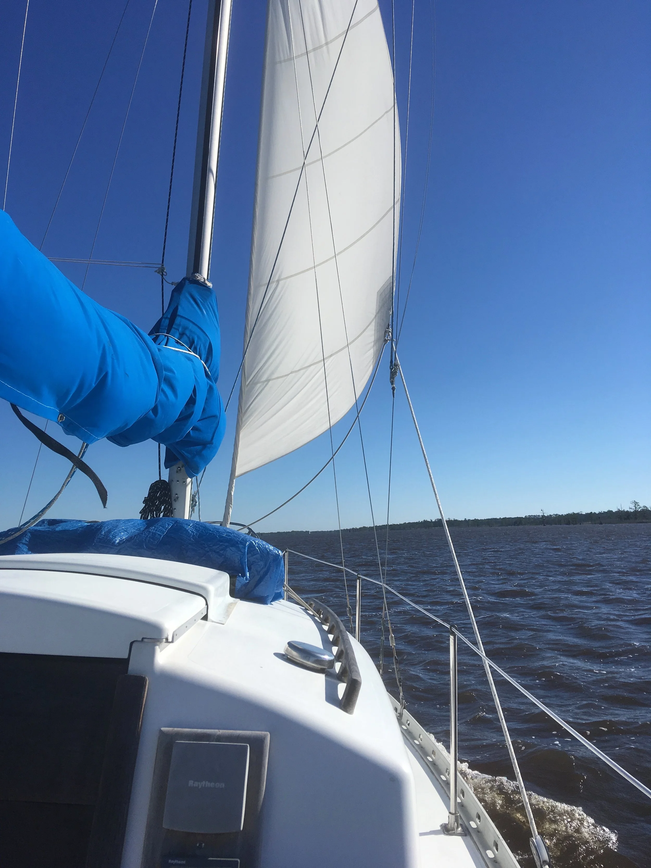
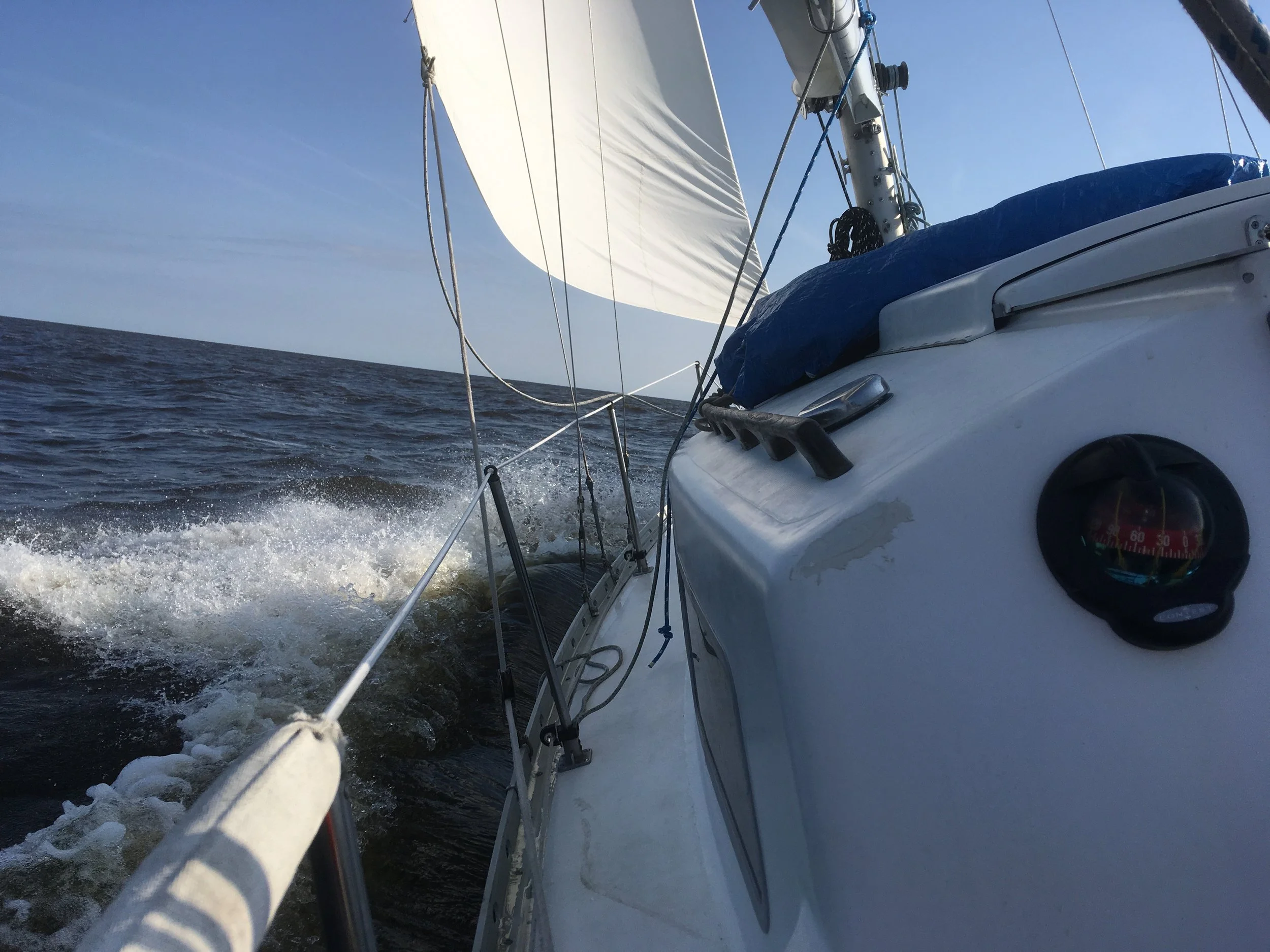
Just a bit of jib. I’m sure I was motoring too. It was windy, but not like the day before.
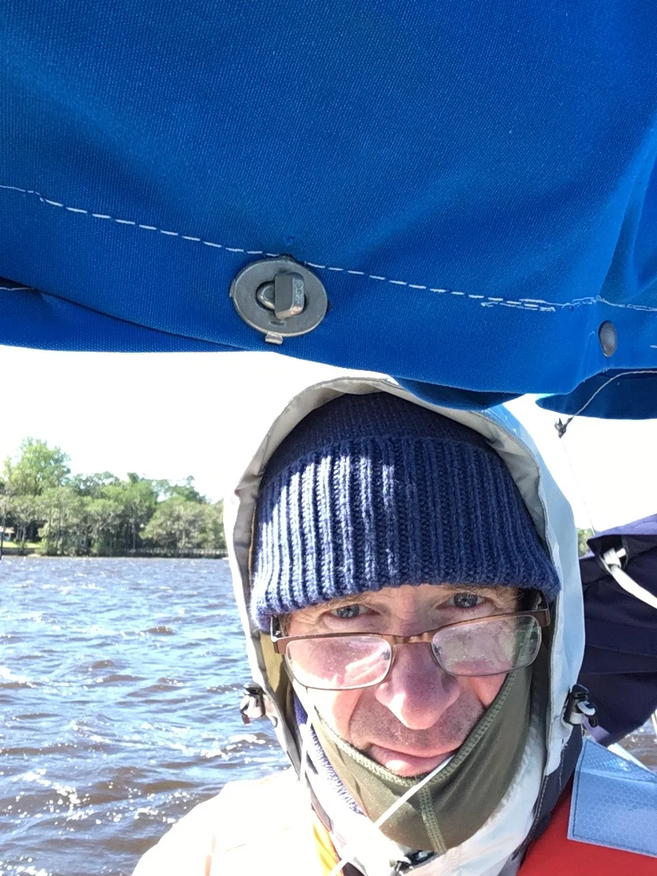
I guess its a pretty cold day, judging by all that crap I’m wearing.
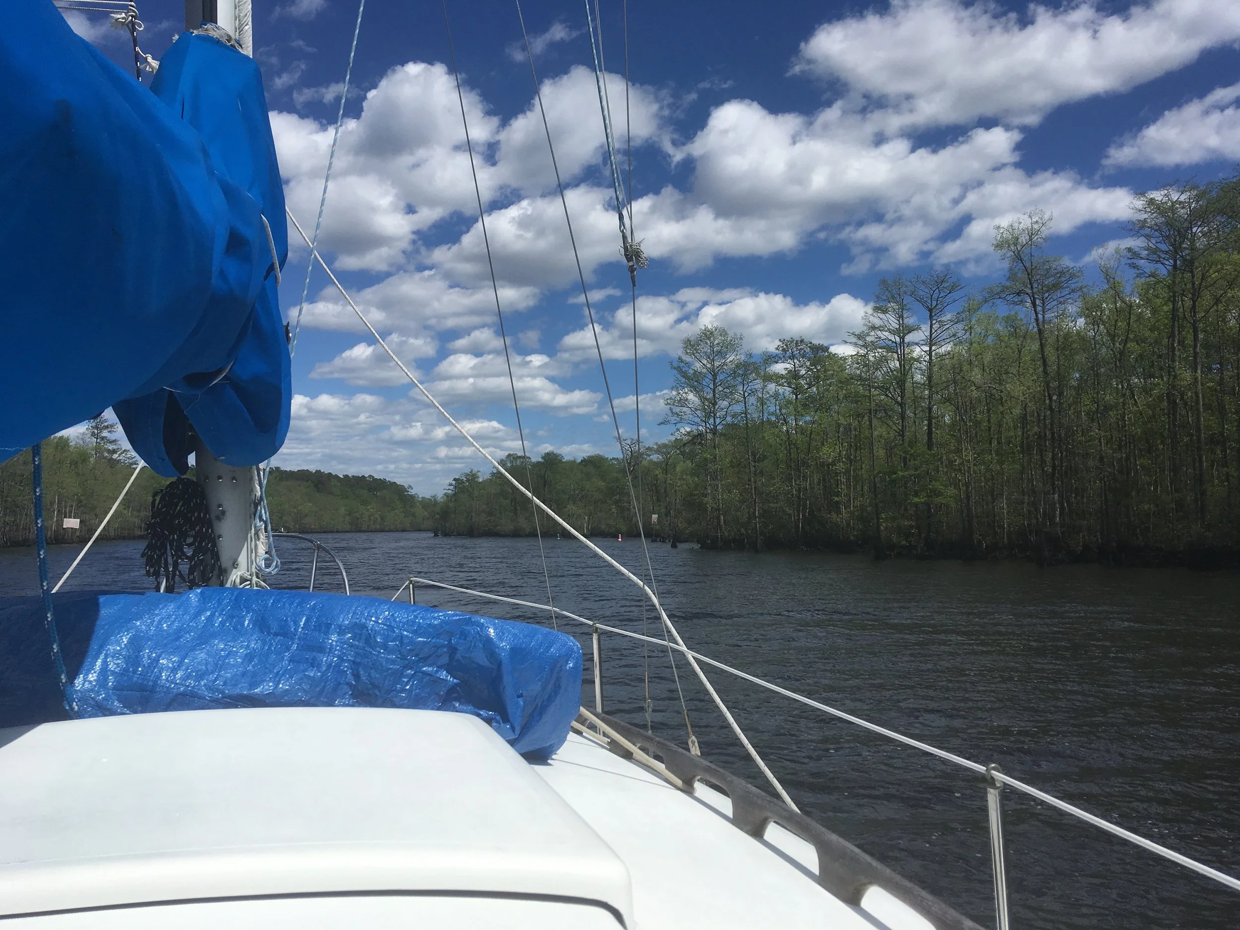
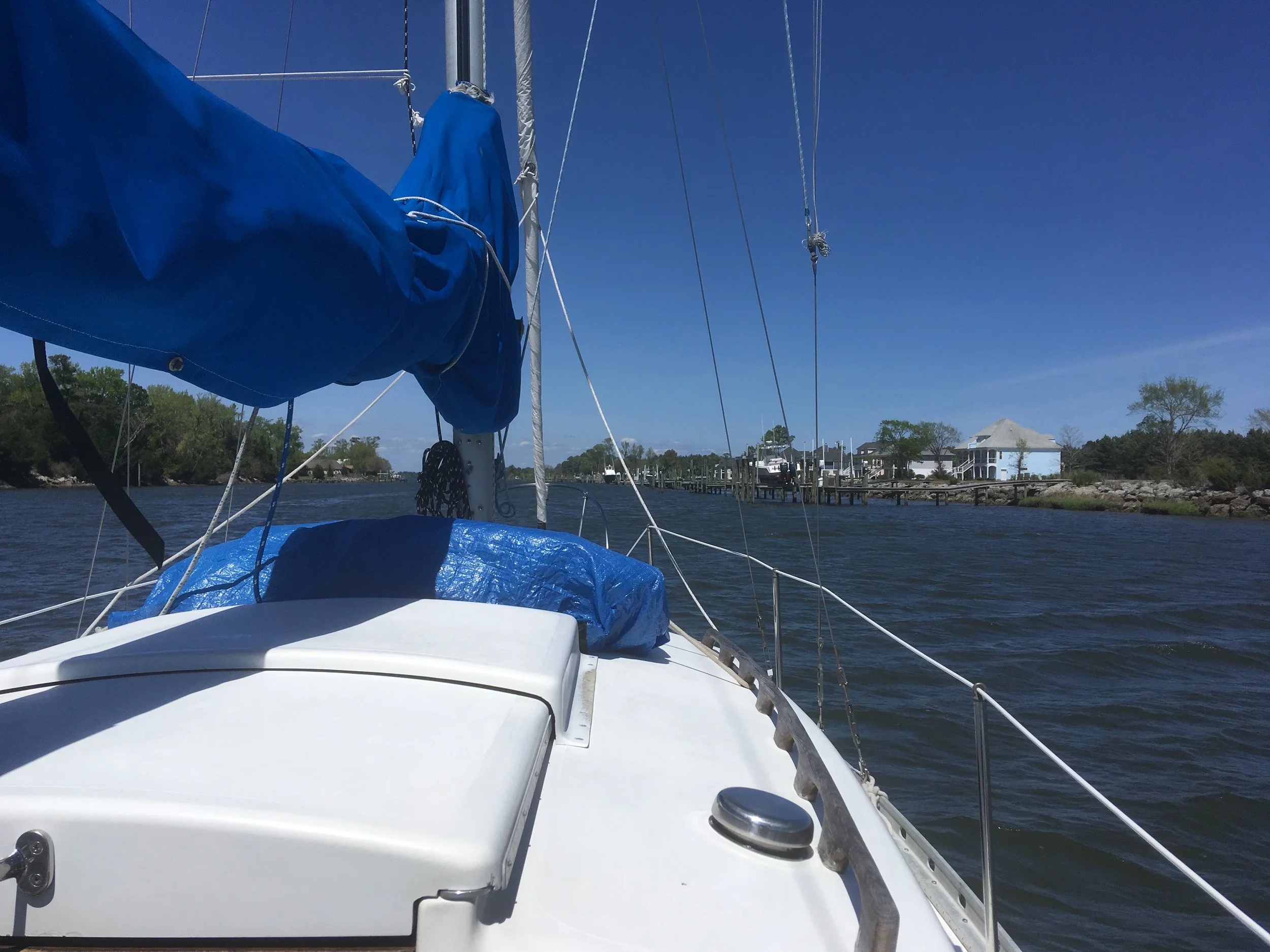
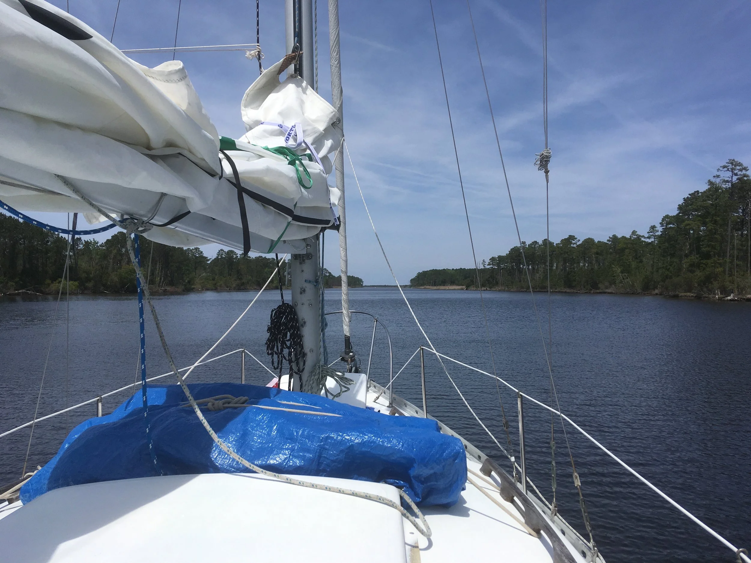
It’s like you’re driving a boat through a forest.
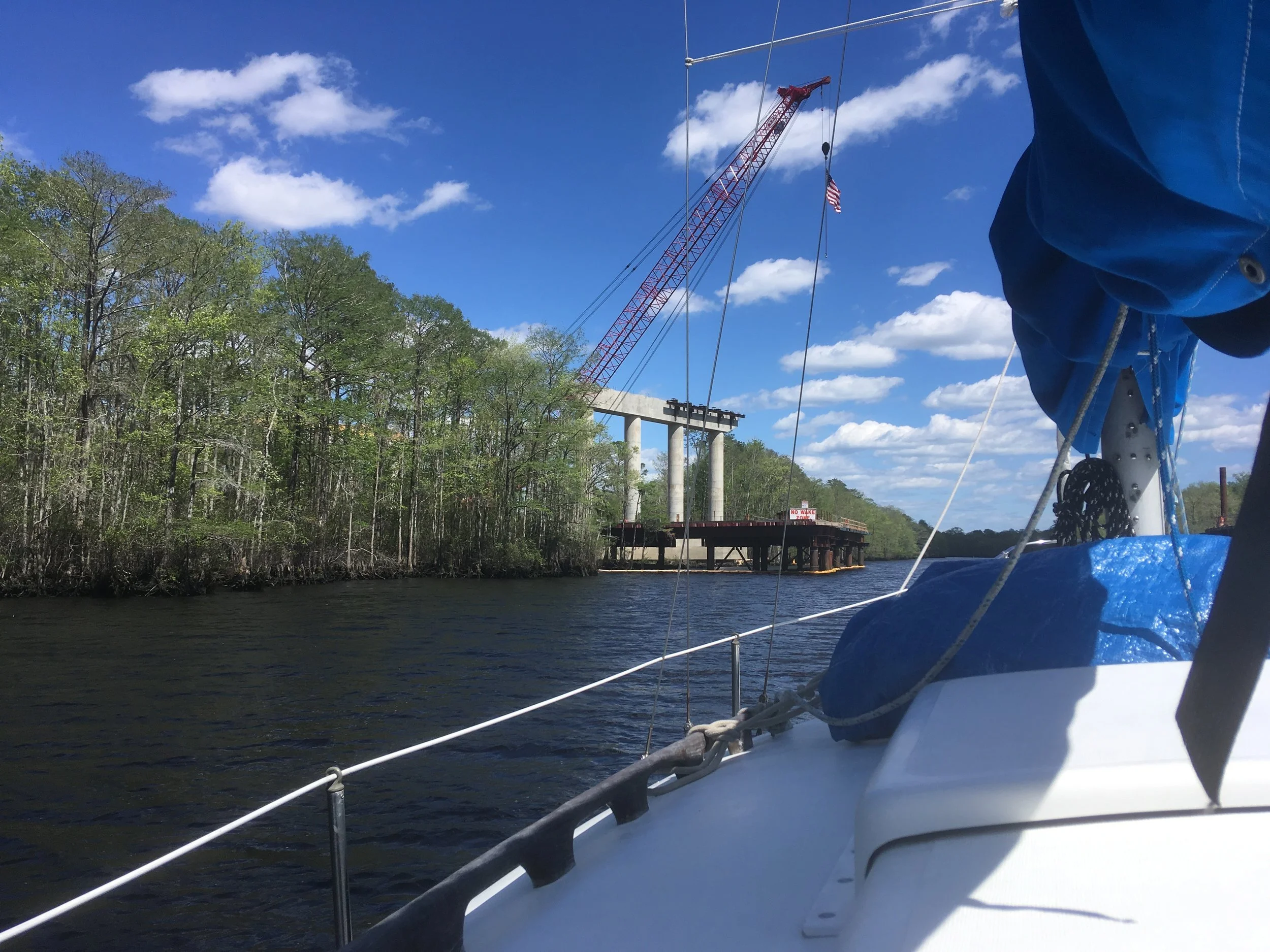
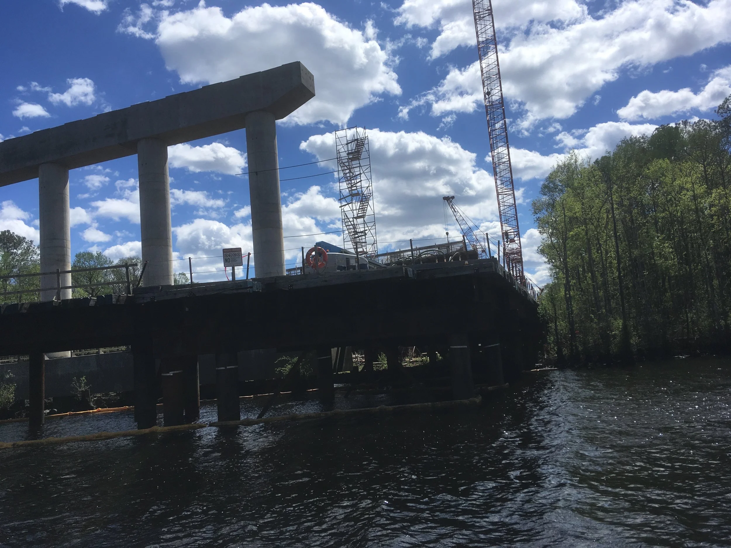
It was fun seeing a highway bridge being built from the perspective of being in the river.
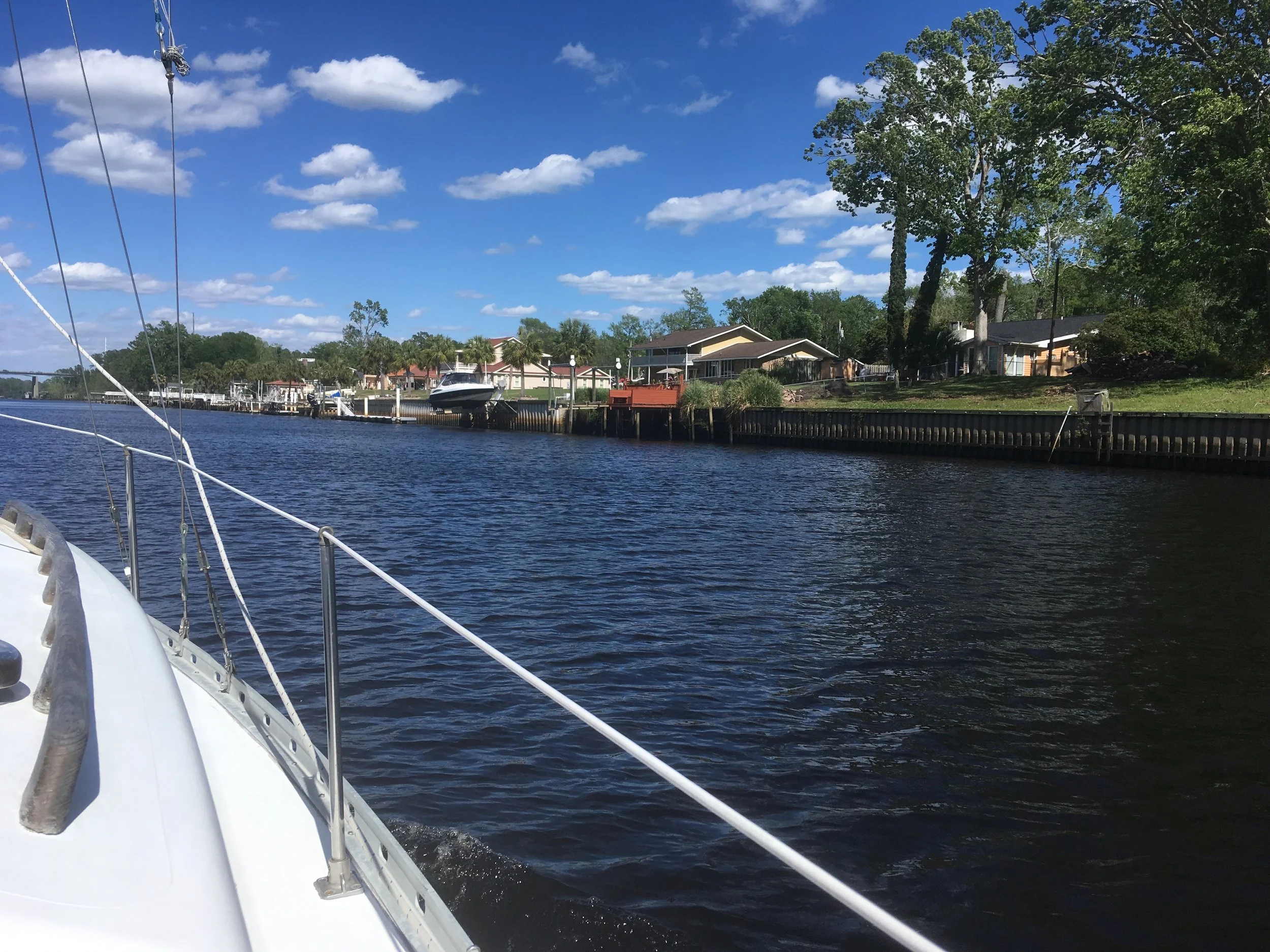
Civilization, if you can call it that.
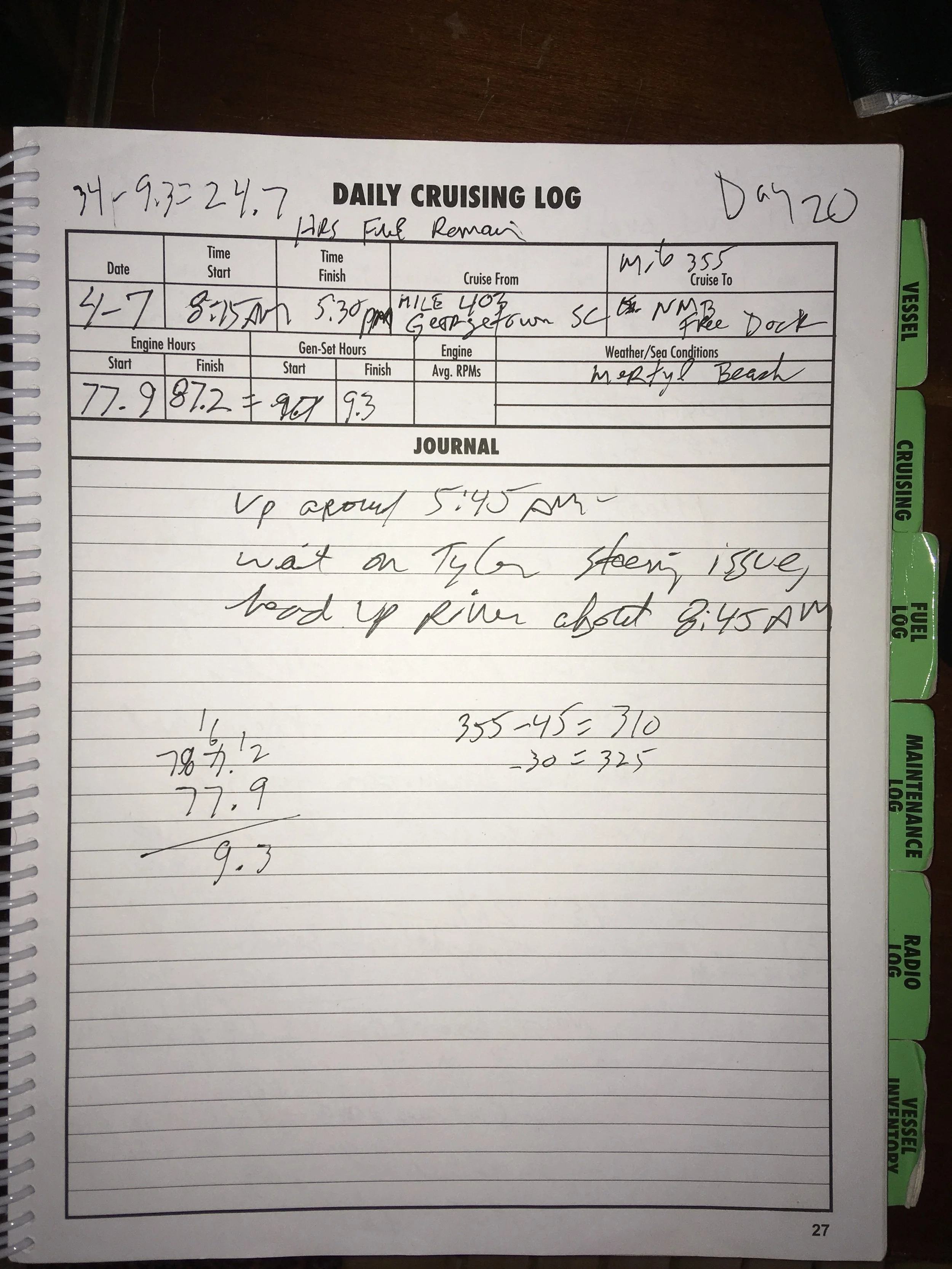
North Mertle Beach has a great free dock.
Was able to walk to WalMart and buy a new saucepan. I splurged and got the most expensive one they had. I only had one saucepan and one frying pan, and that was completely adequate for me.
NMB free dock is great, but time to press on.
A calm morning.
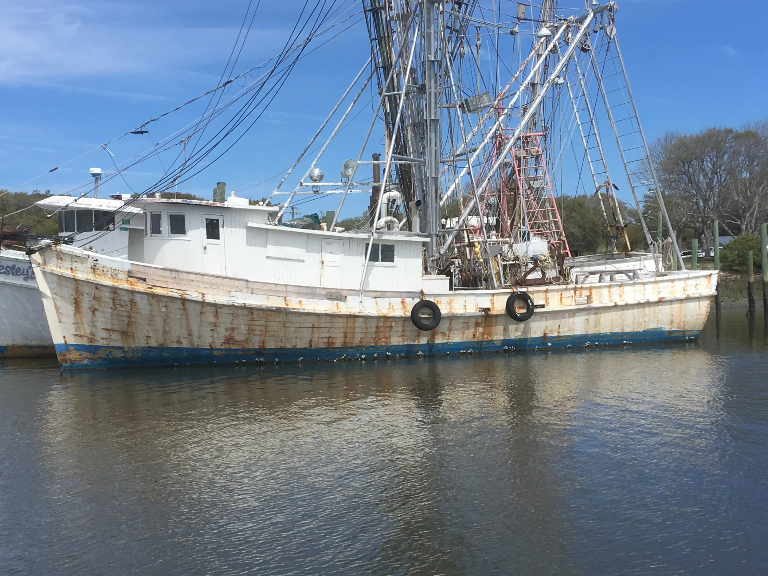
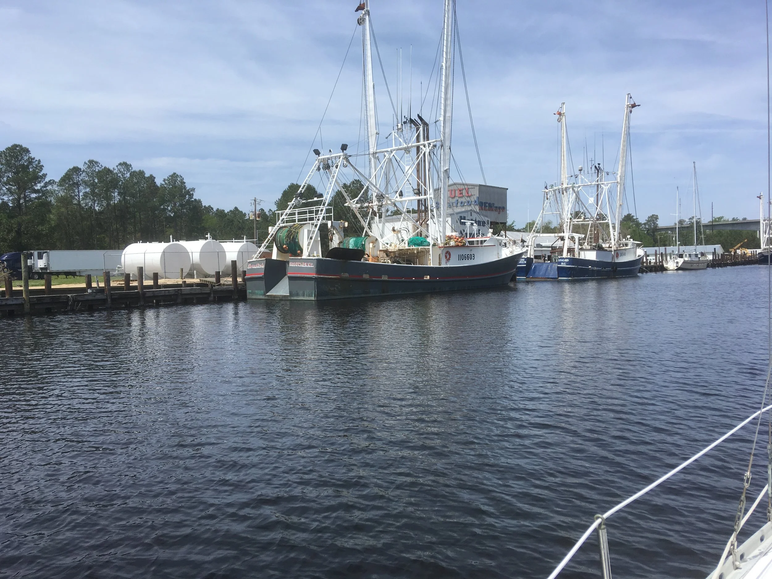
I saw several wooden trawlers like this and was surprised that any wood boats still existed in the commercial fishing fleet.
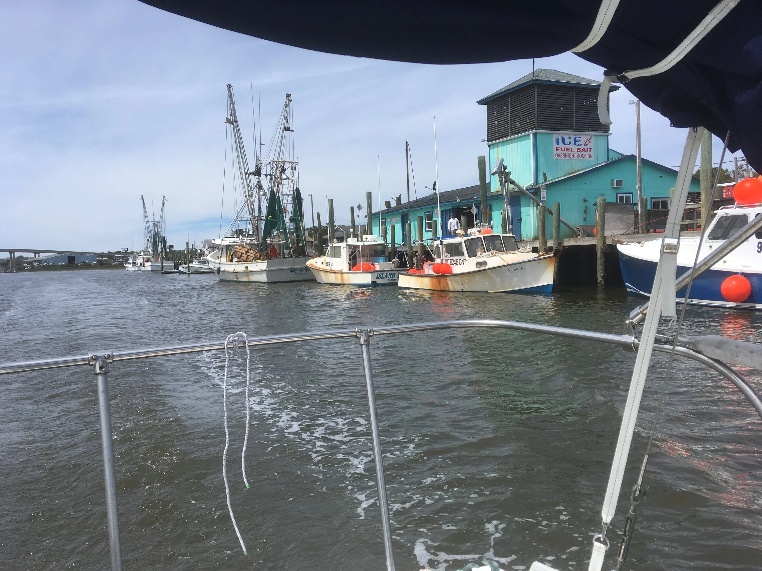
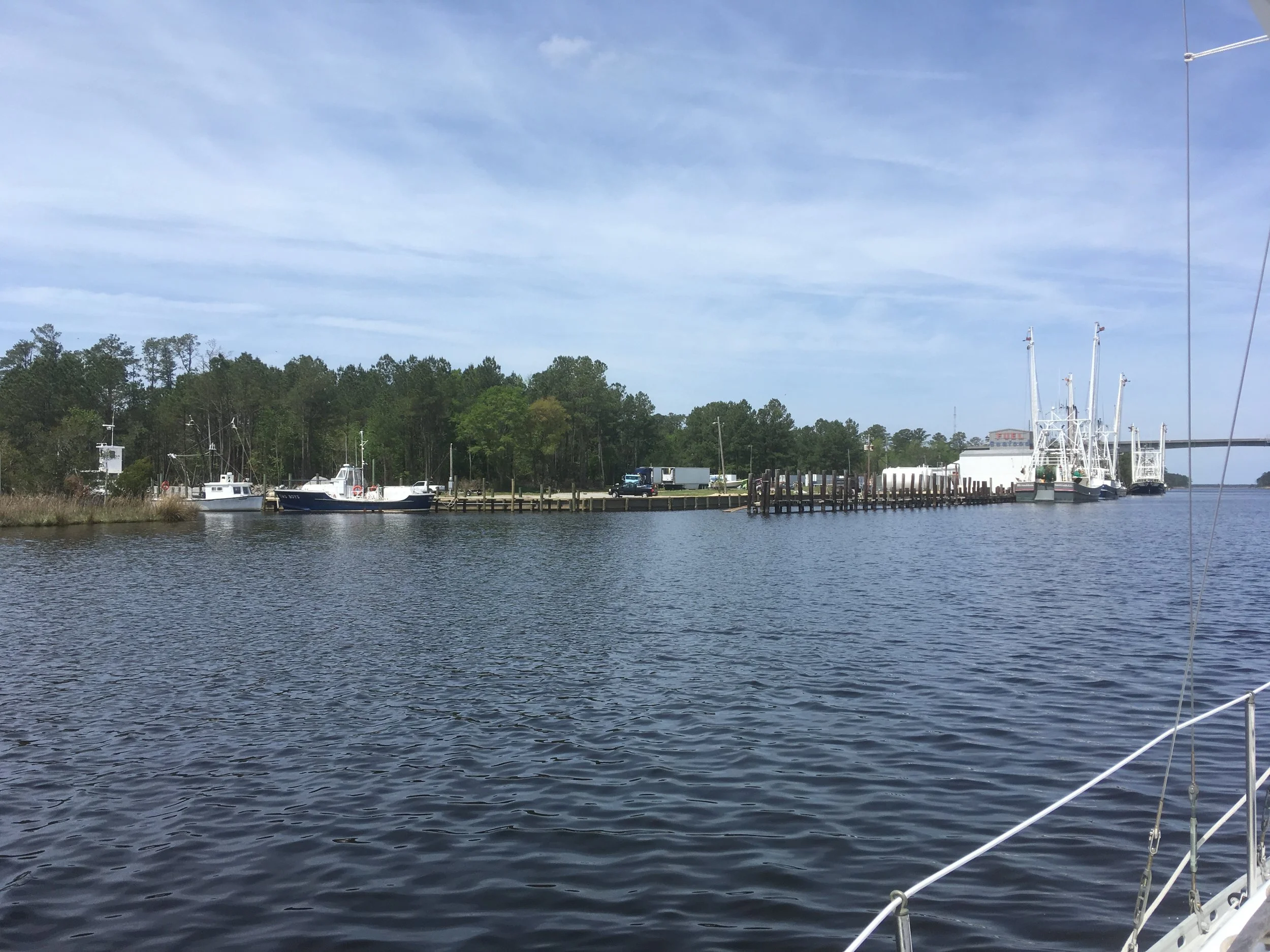
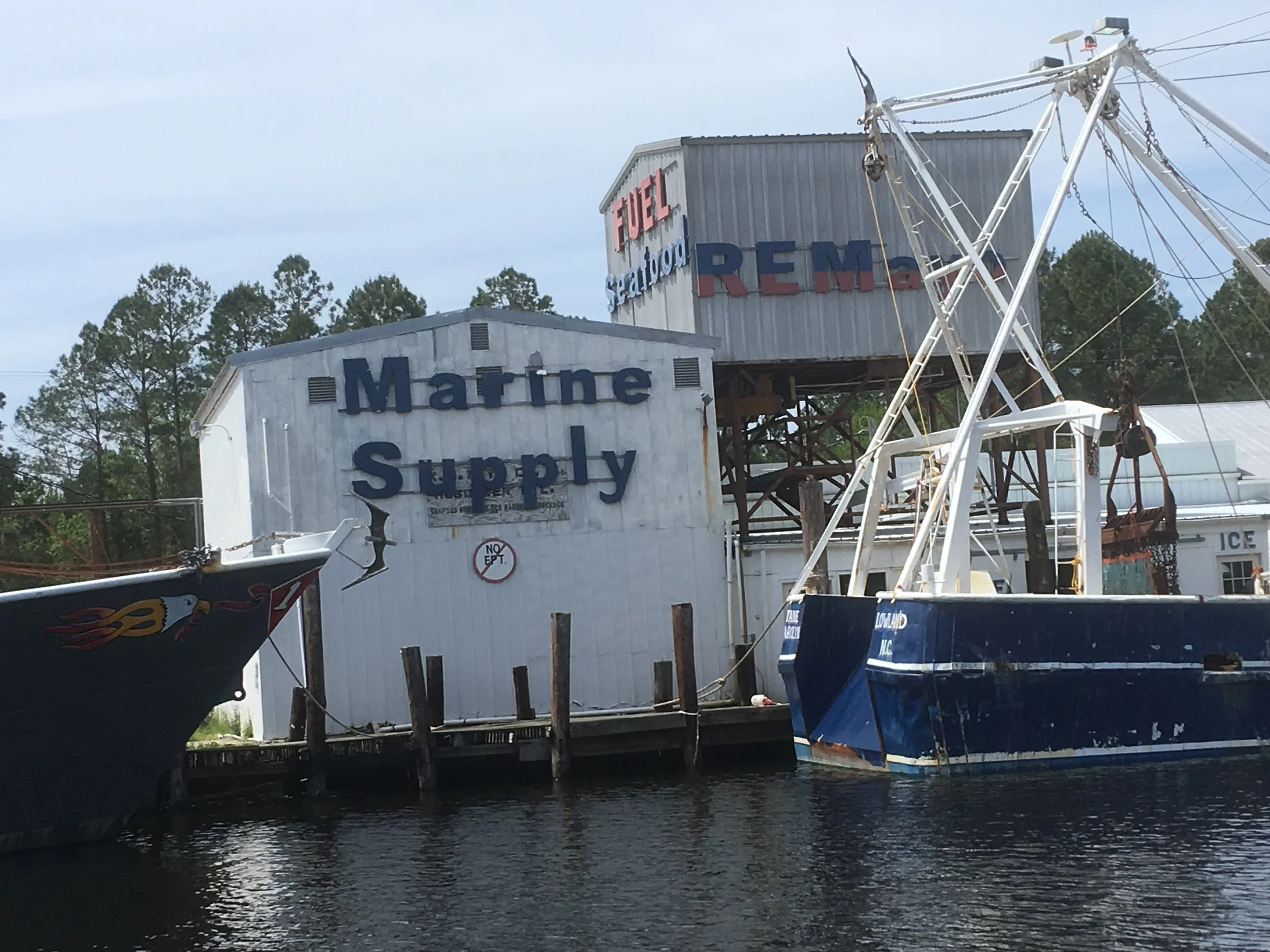
I think this is a famous stop along the ICW (whose name I can’t remember just now). It’s pier that shrimp boats use, and you can get fuel there and tie up overnight for free. And buy shrimp very cheap. I got there in the middle of the day and wanted to keep going, so I passed on by.
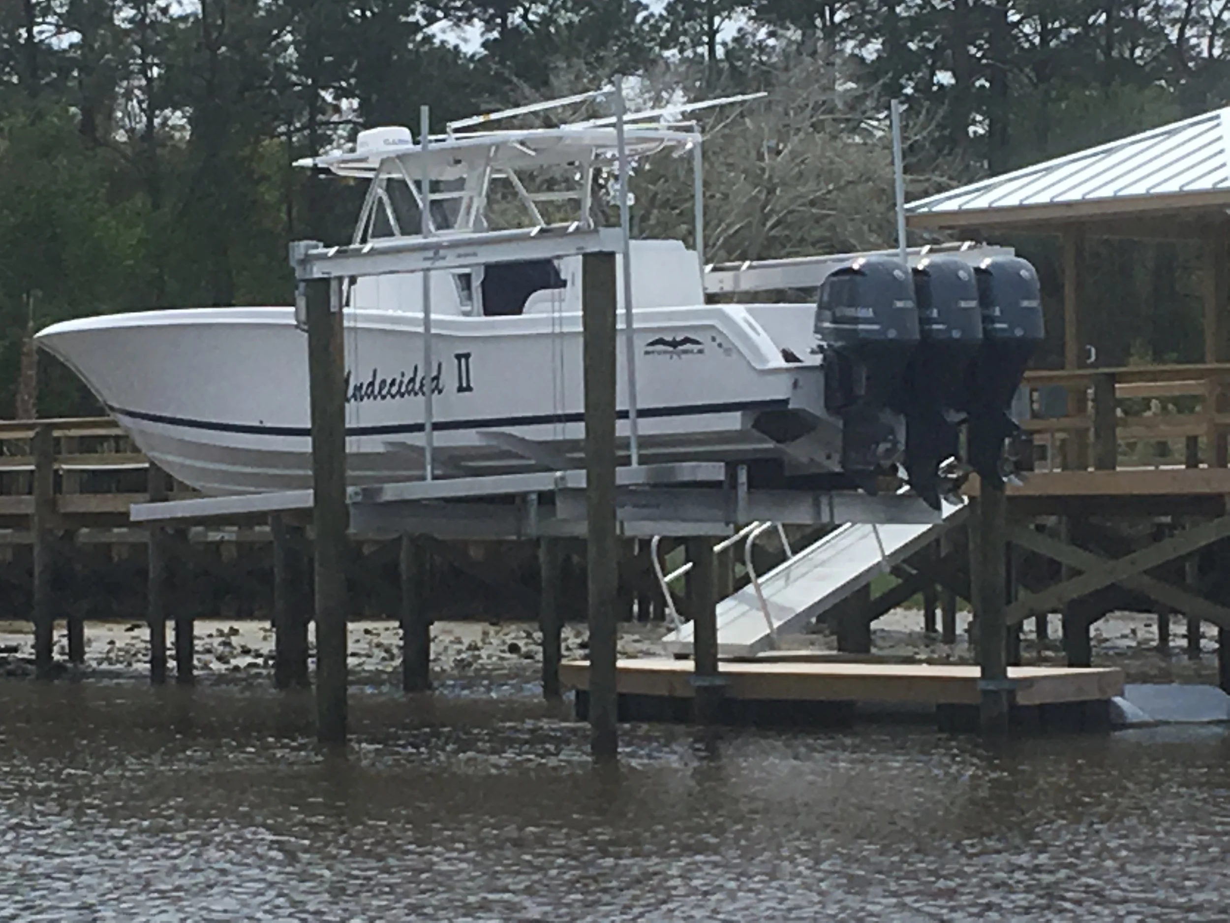
Do you think he’s got enough power bolted to that transom? Virtually every outboard motor I saw along the entire eastern seaboard was one of these new Yamaha’s. Apparently they are some sort of engineering marvel.
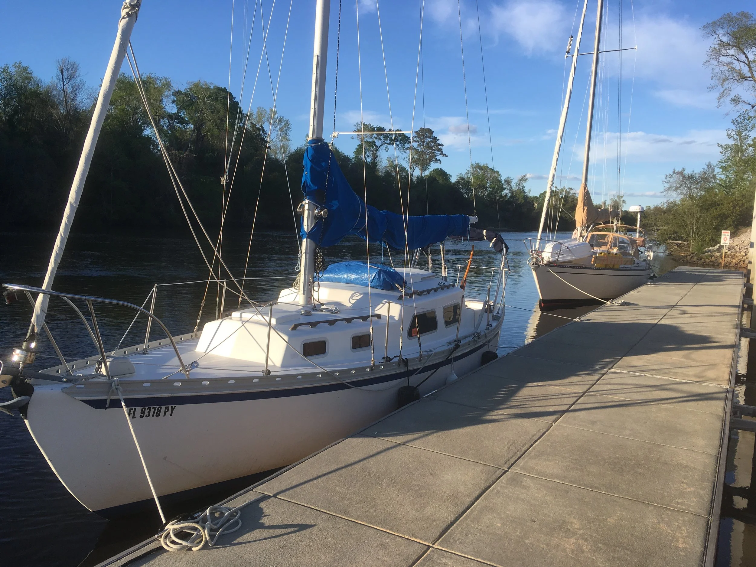
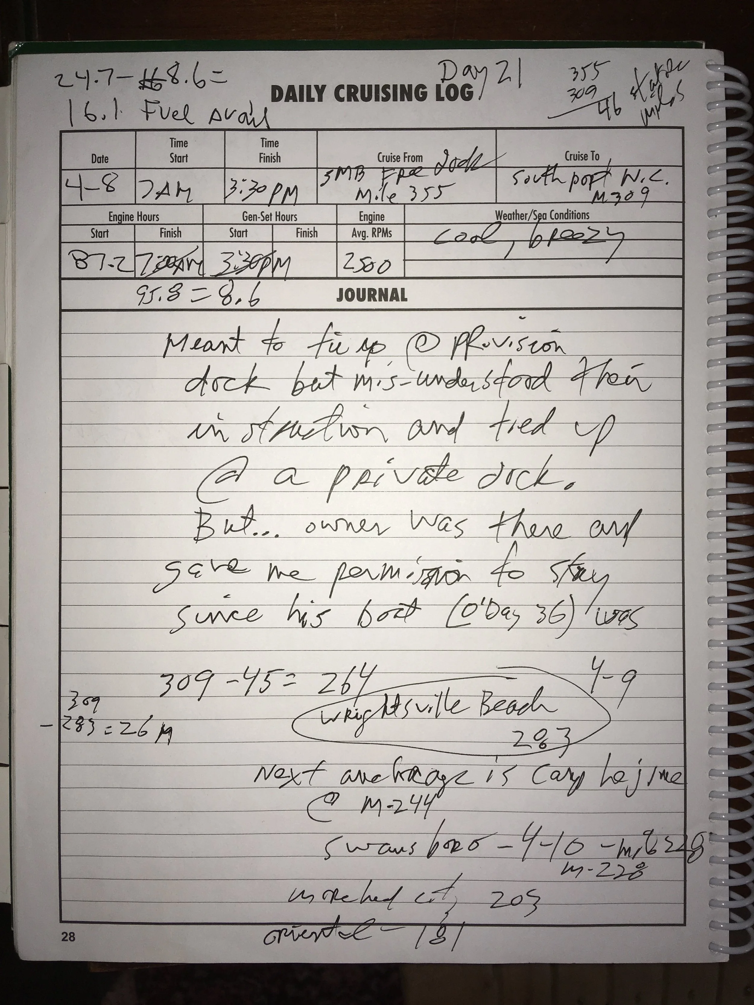
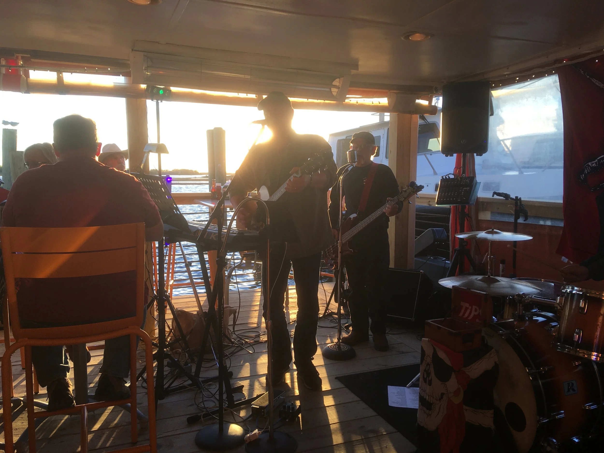
Good live music at the restaurant who’s guest dock I had intended on using. This restaurant has a couple of slips and you can tie up overnight for free (always a nice thing). I called the restaurant to check which slip to use, and they described it, and I did a fairly graceful job getting my boat into a tight slip. A guy ambled down to the boat and mentioned to me I was in a private slip, and paused. I apologized and said I thought it was one of the restaurant’s free ones. Then he sort of smiled and said it was actually his slip, but his O’Day 36 was hauled out for service and I was welcome to stay. Whew. I enjoyed the music and drank much more beer than I ought to have done.
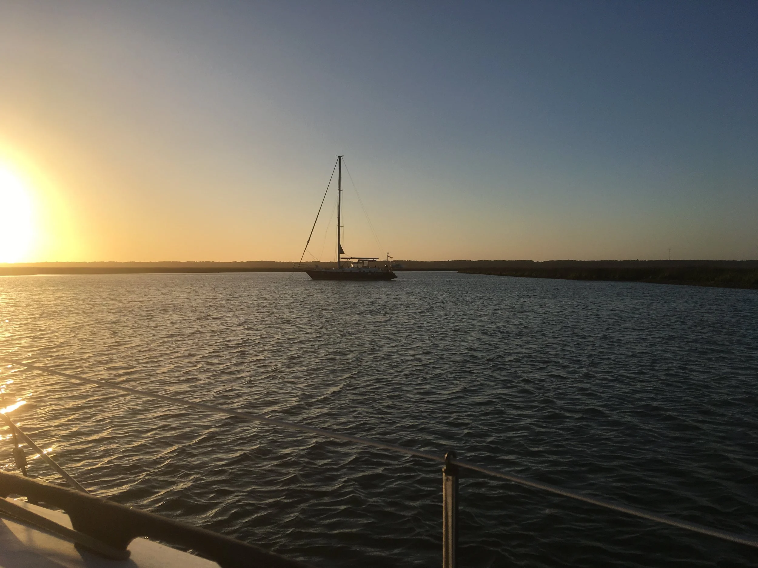
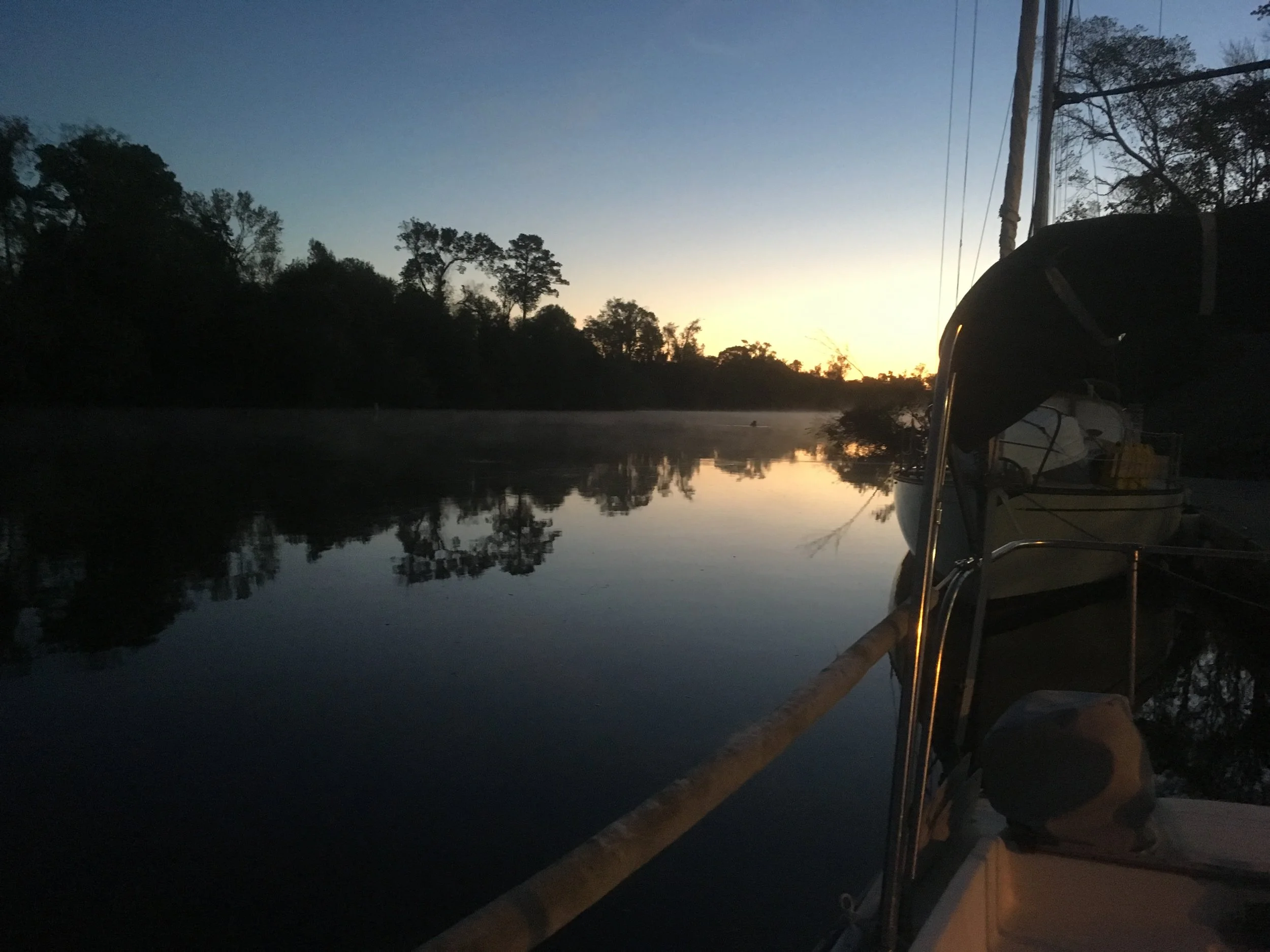
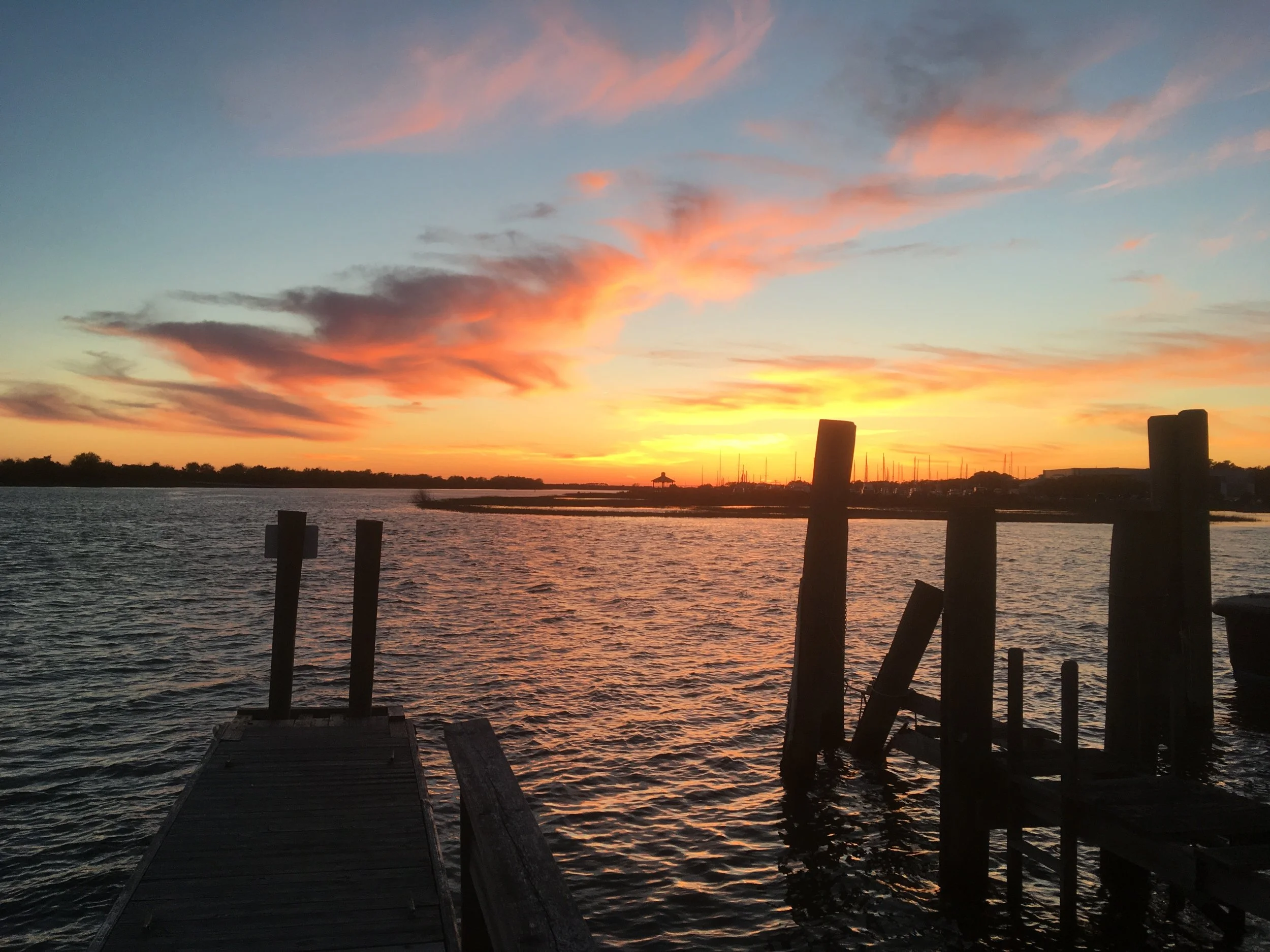
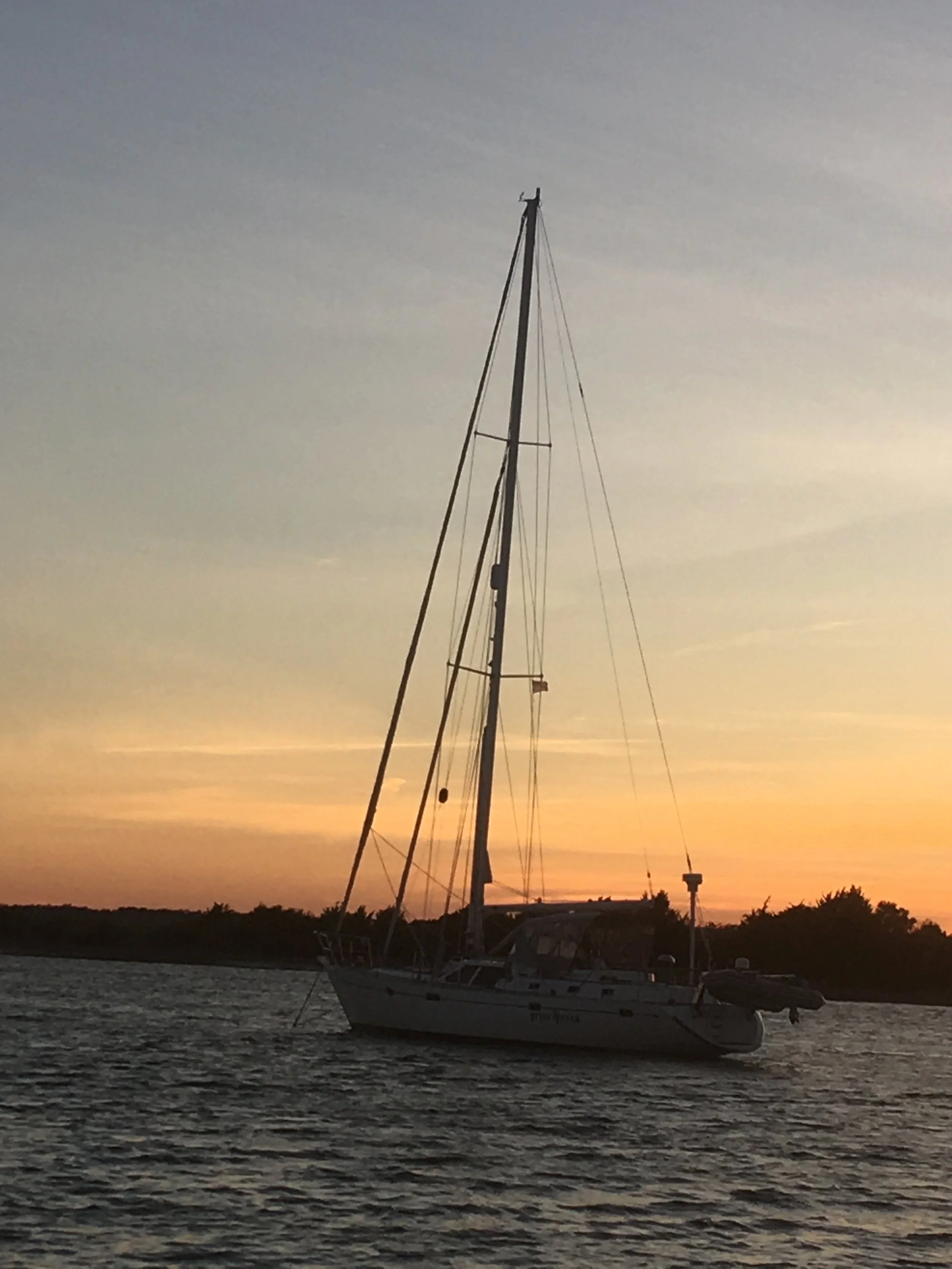
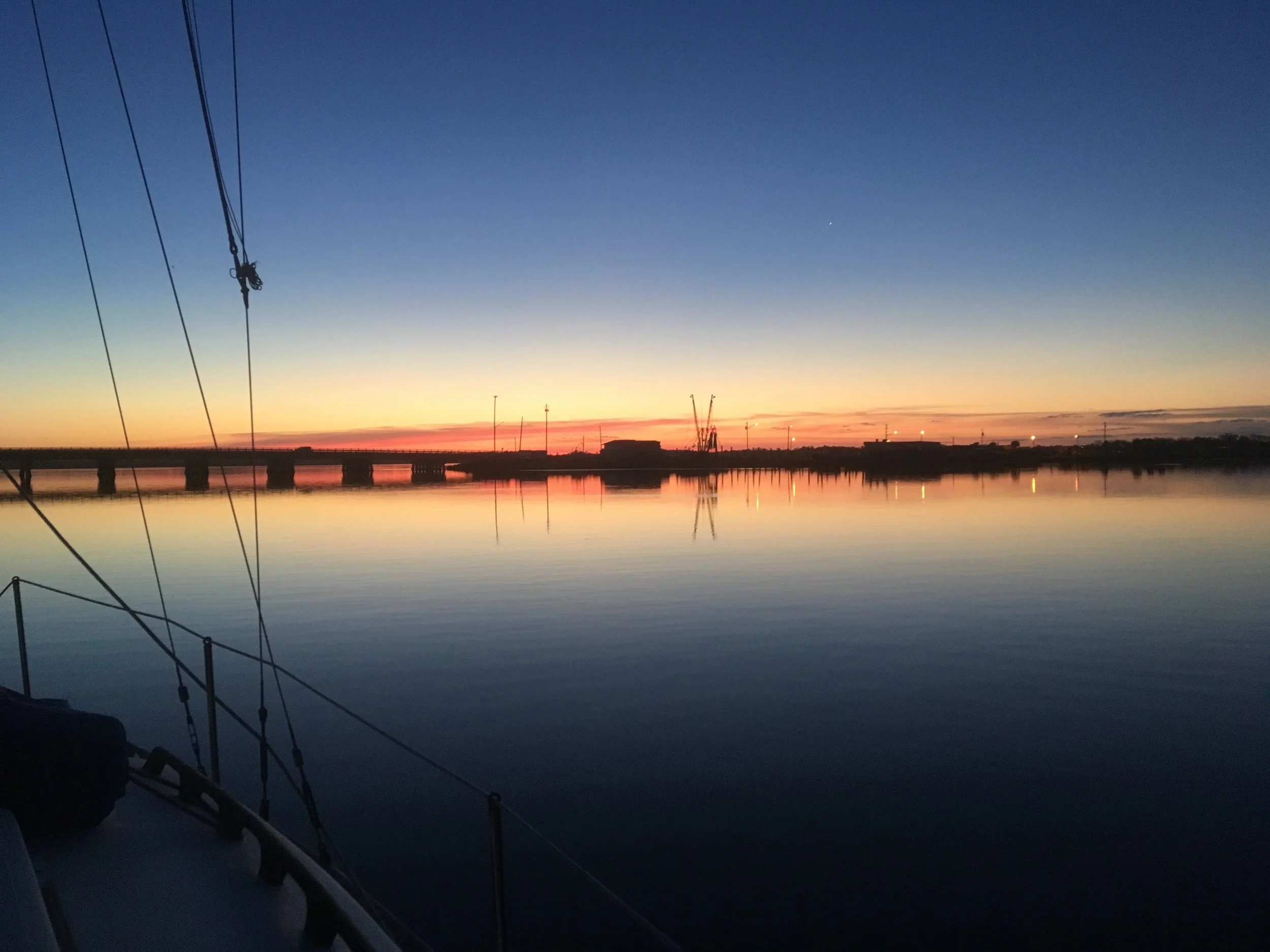
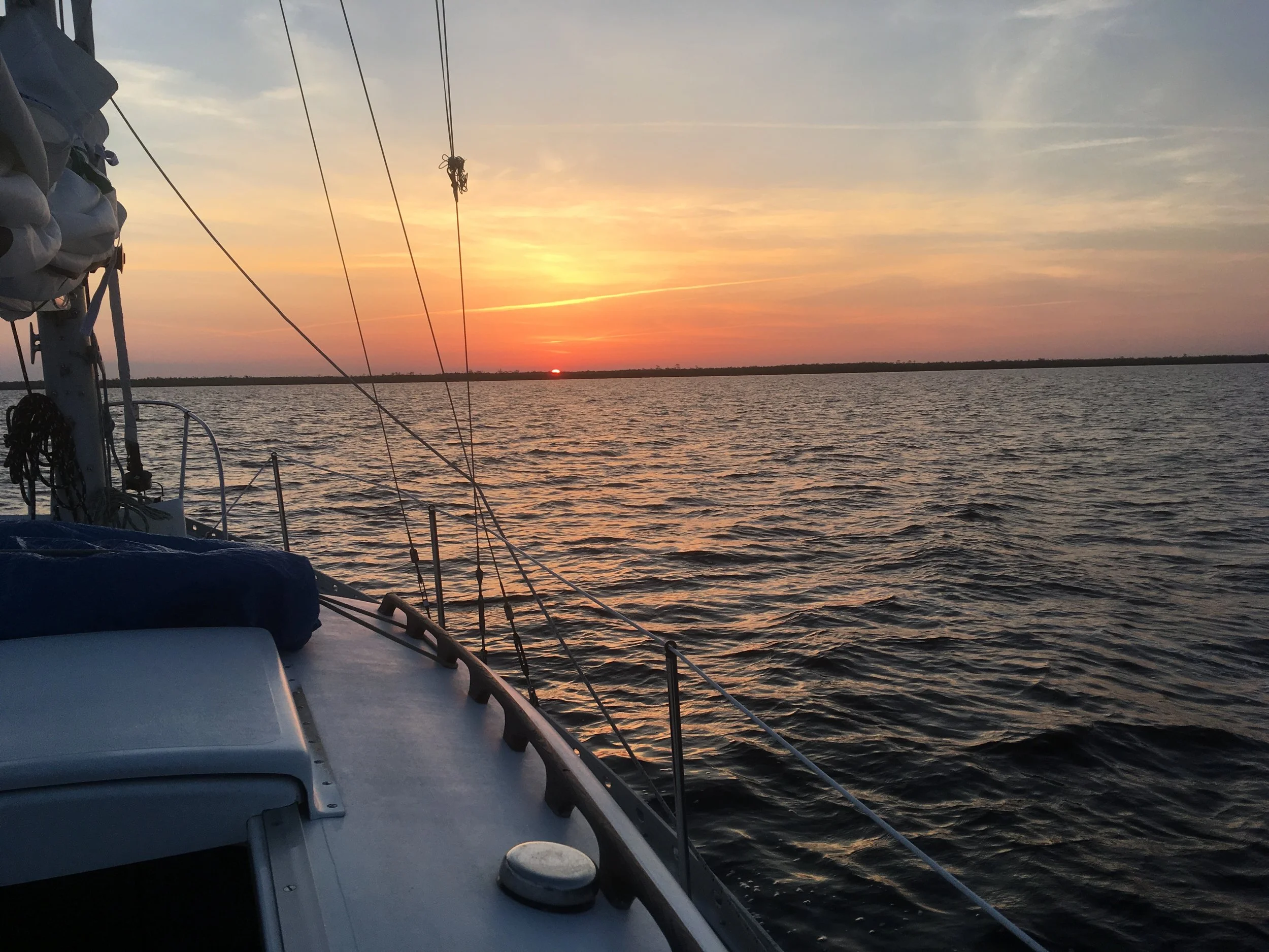
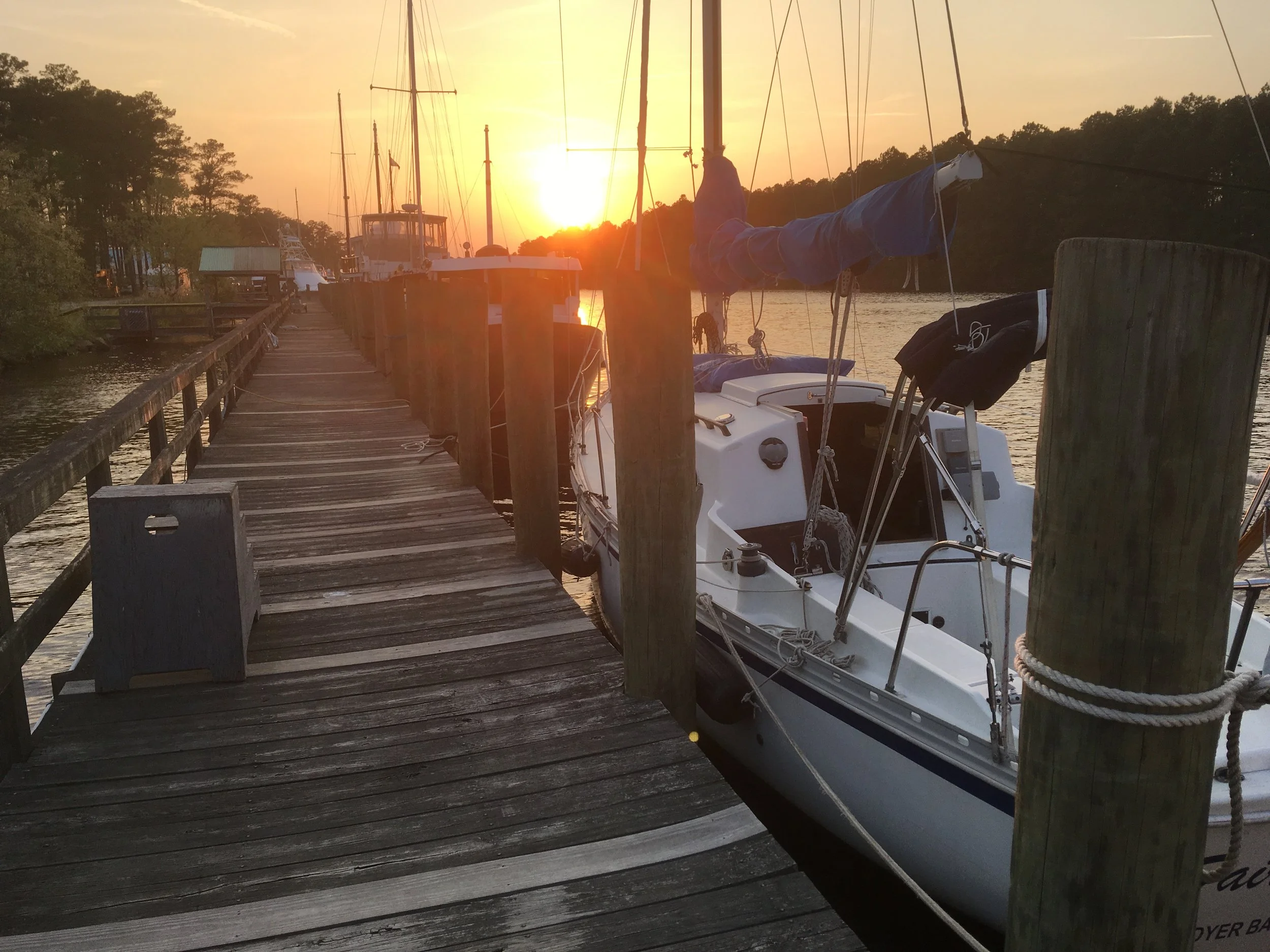
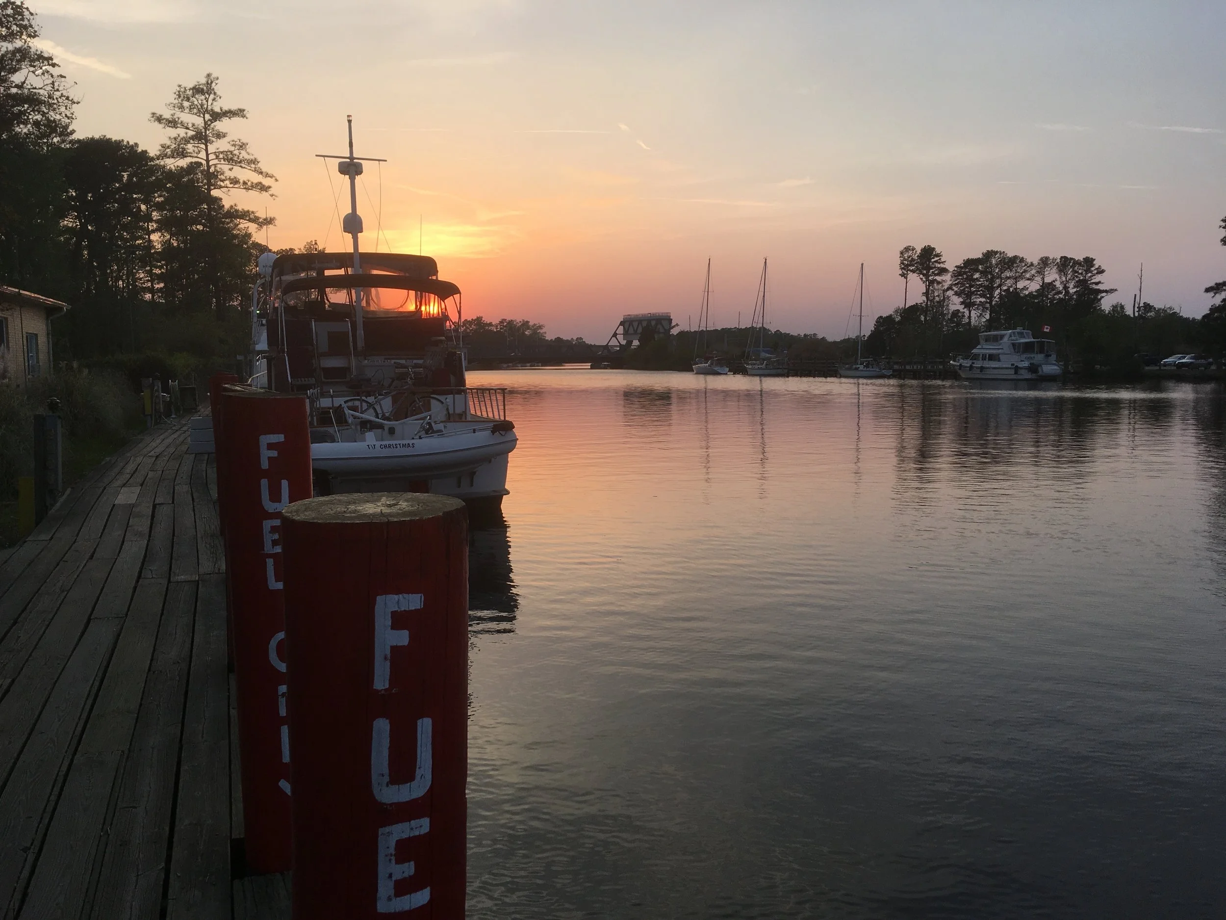
Nice sunset.
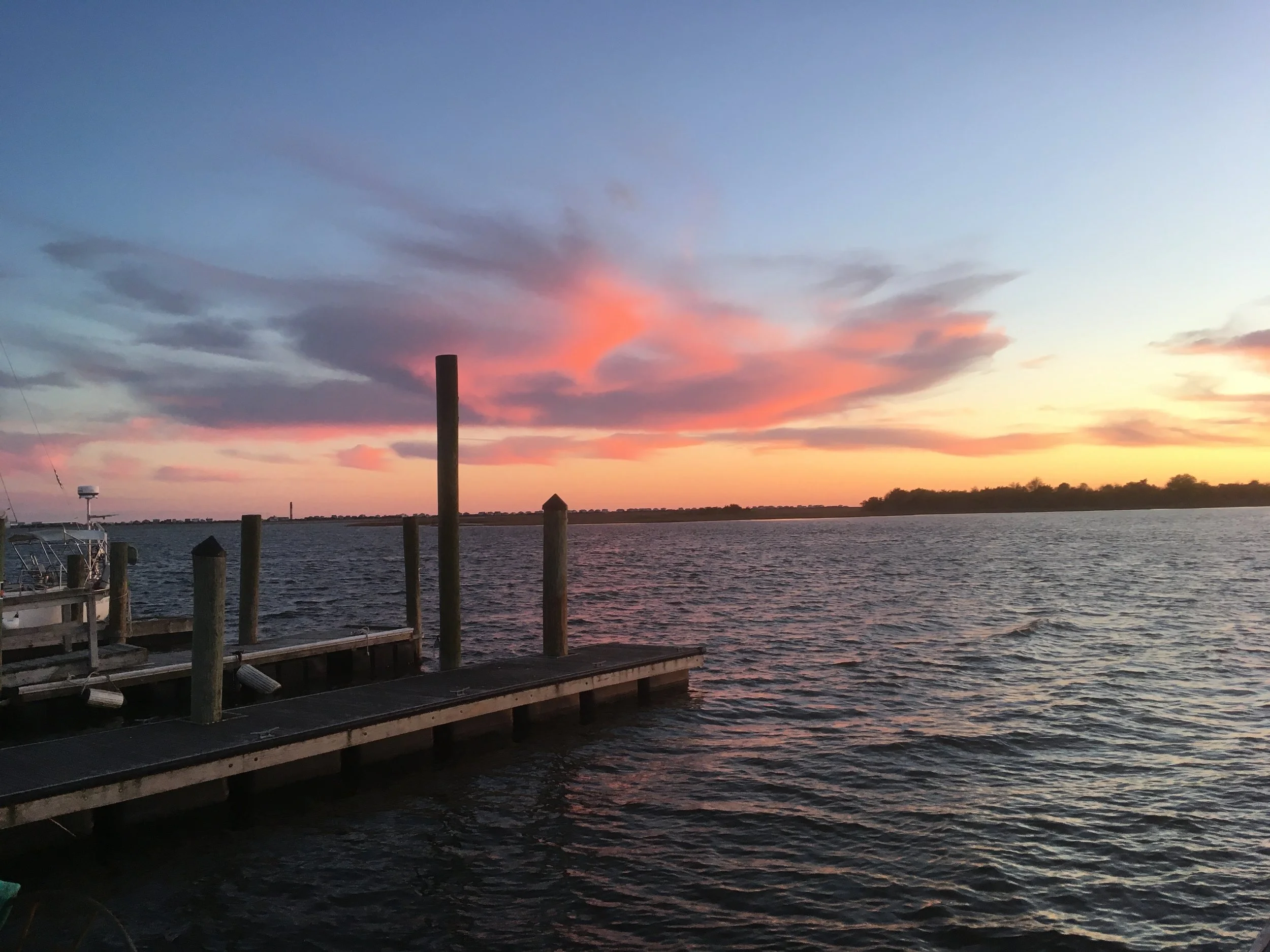
About 4 minutes after the picture above was taken.
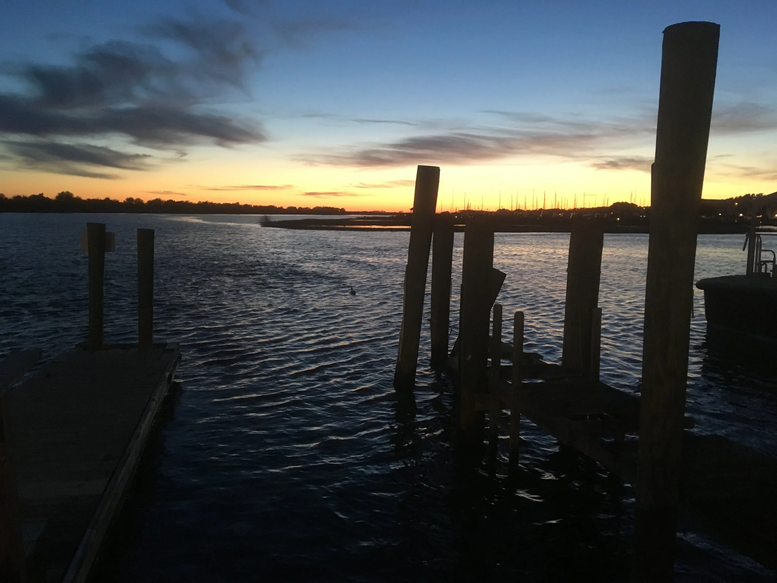
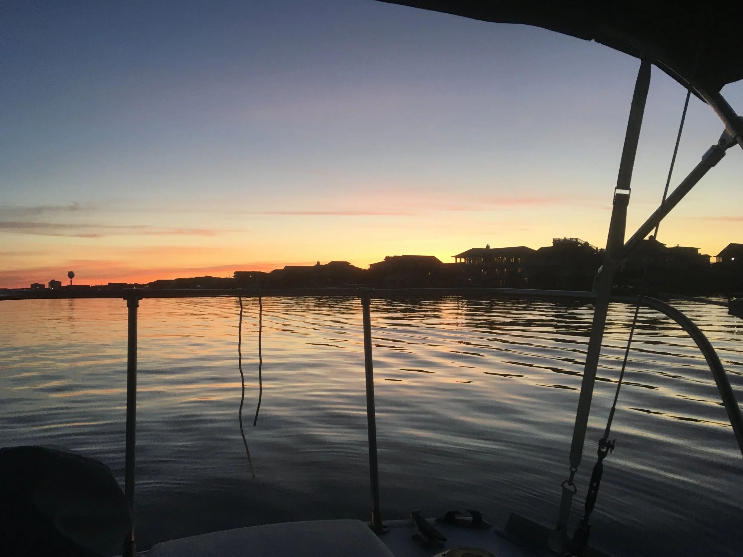
And this is about 30 minutes later. Nice.
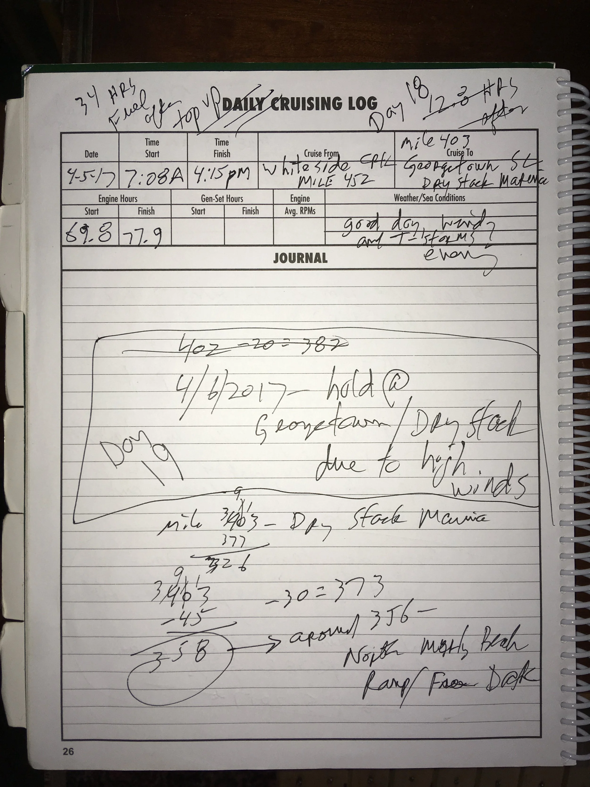
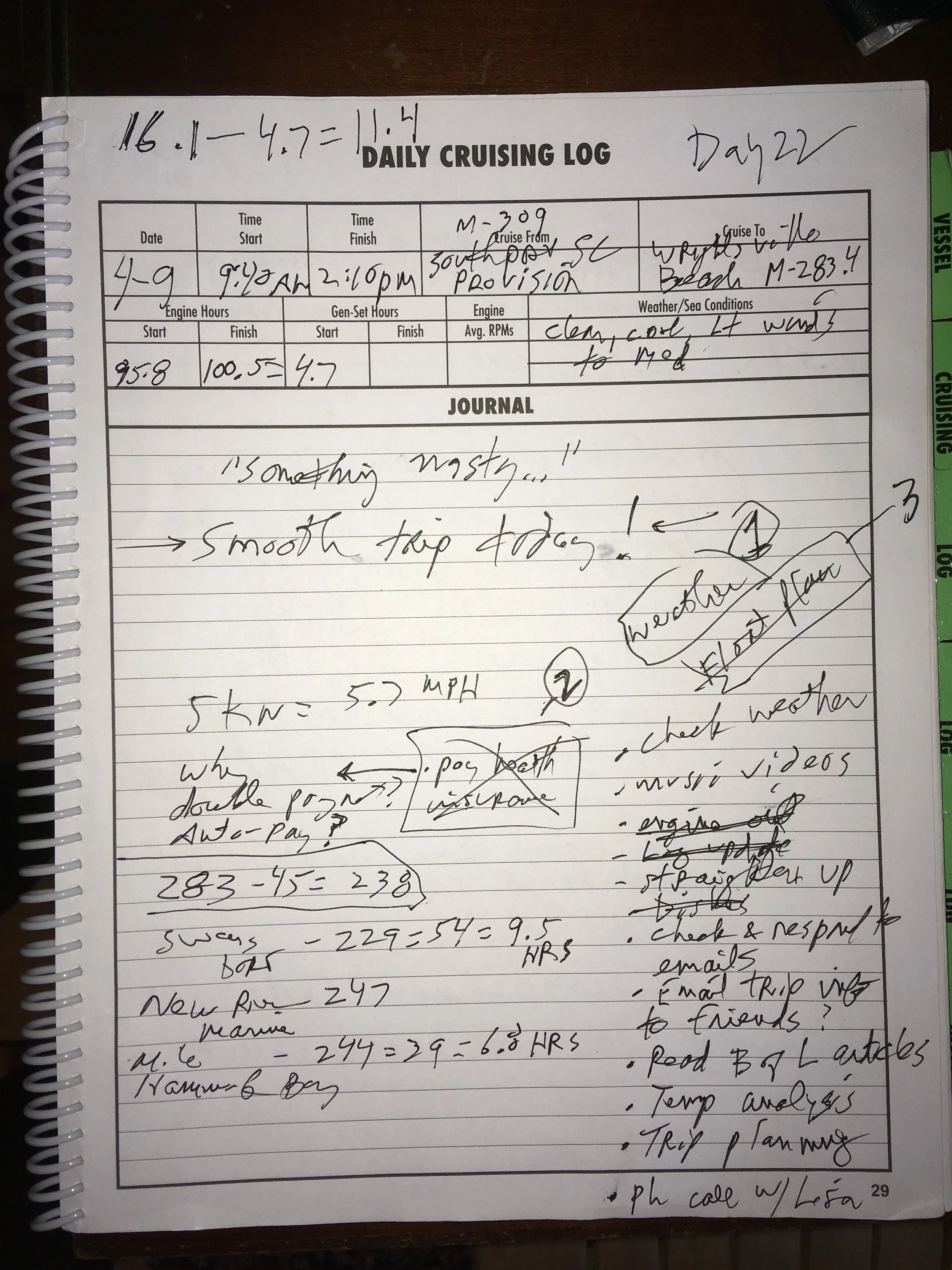
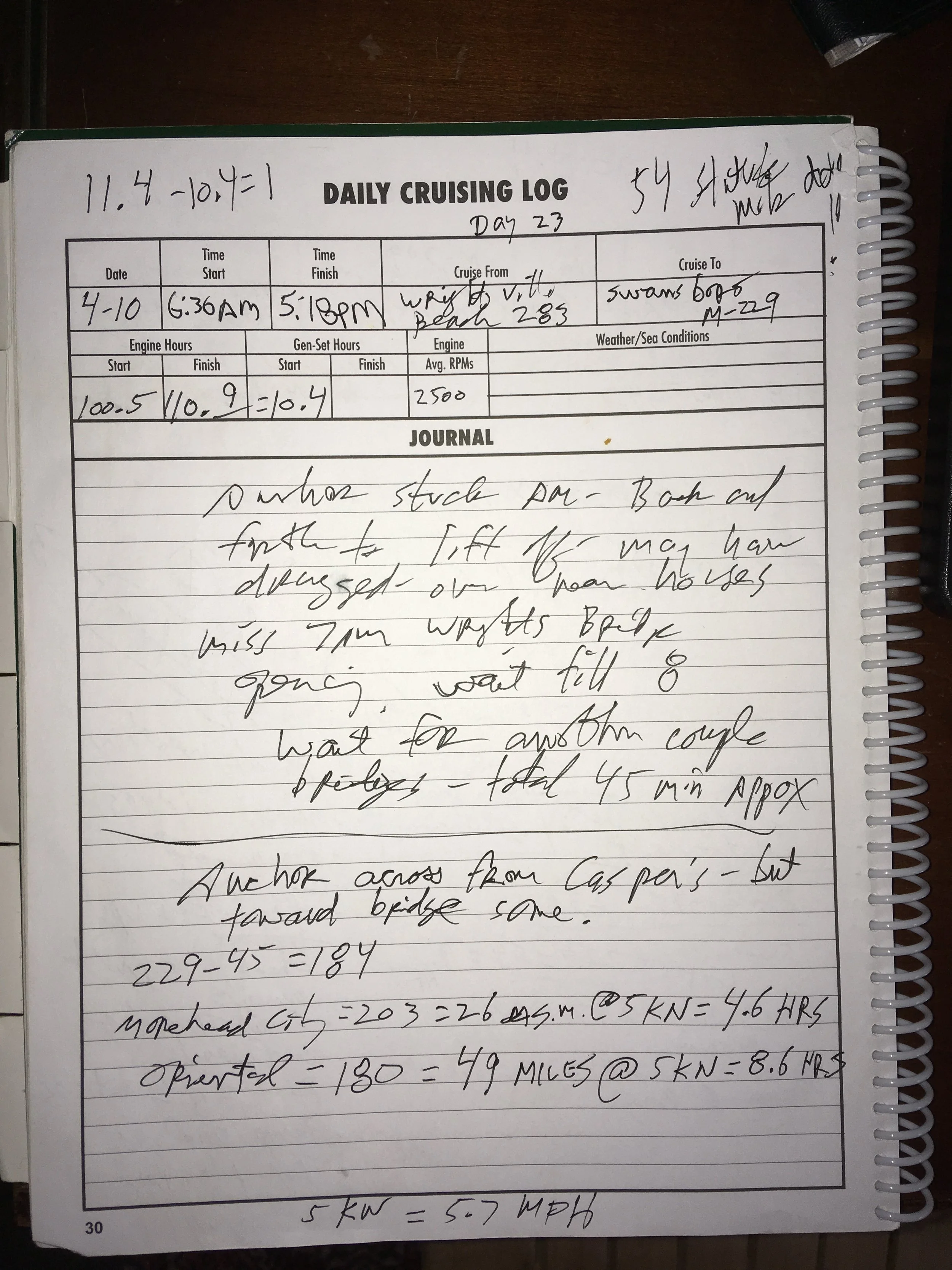
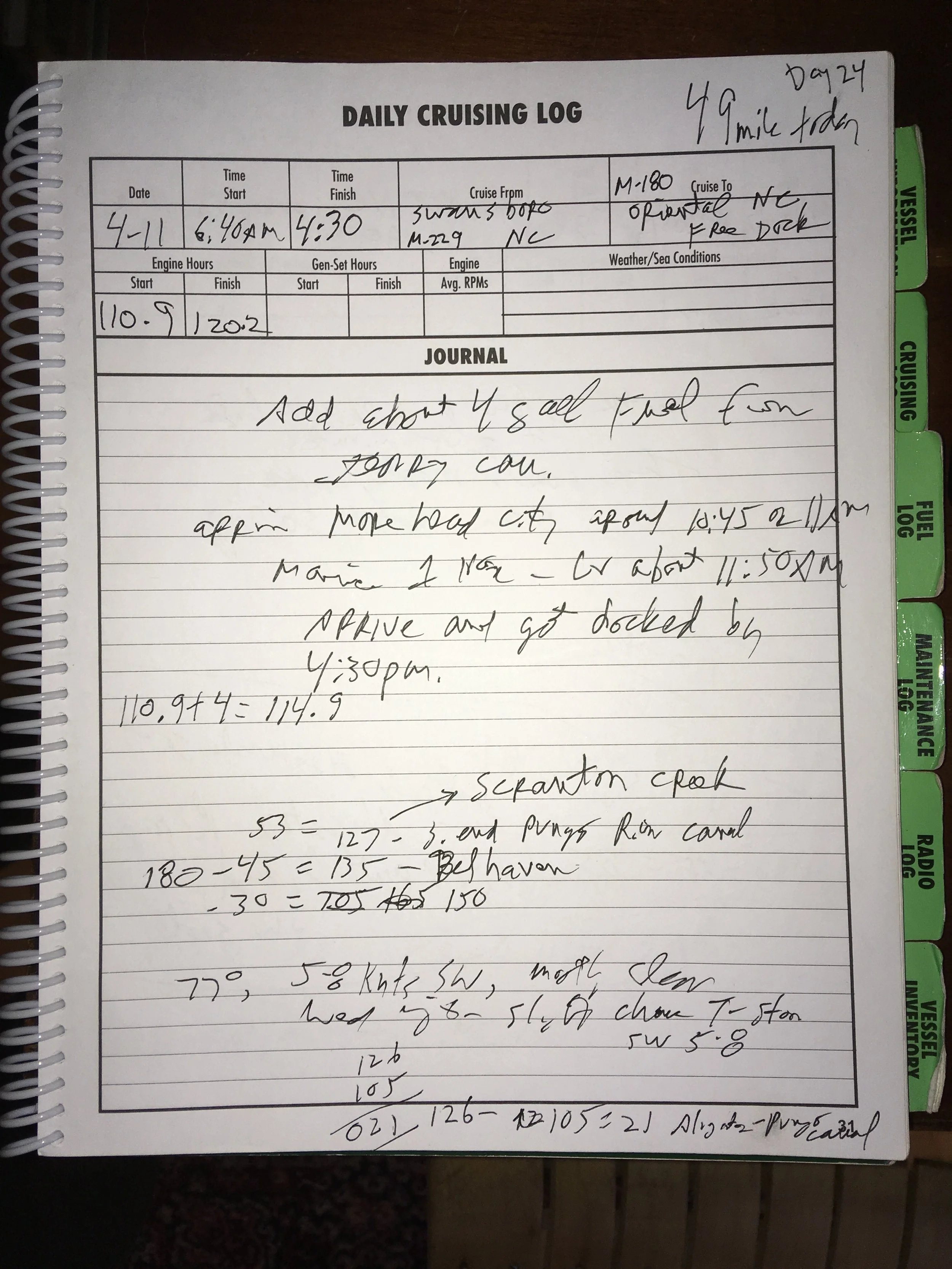
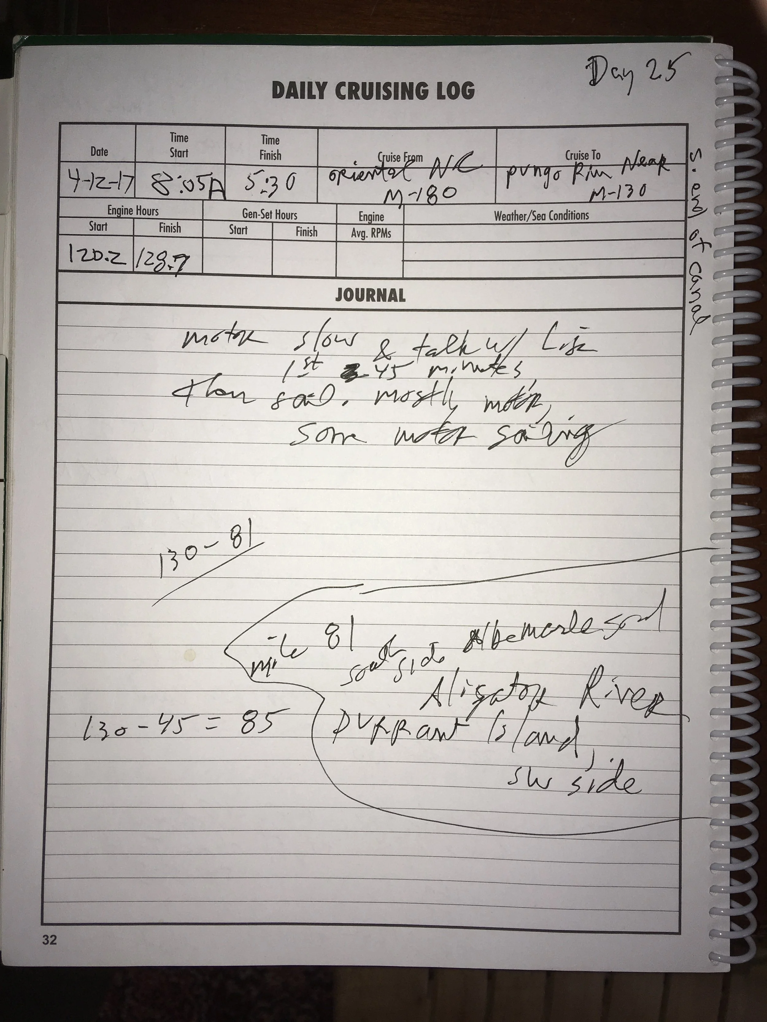
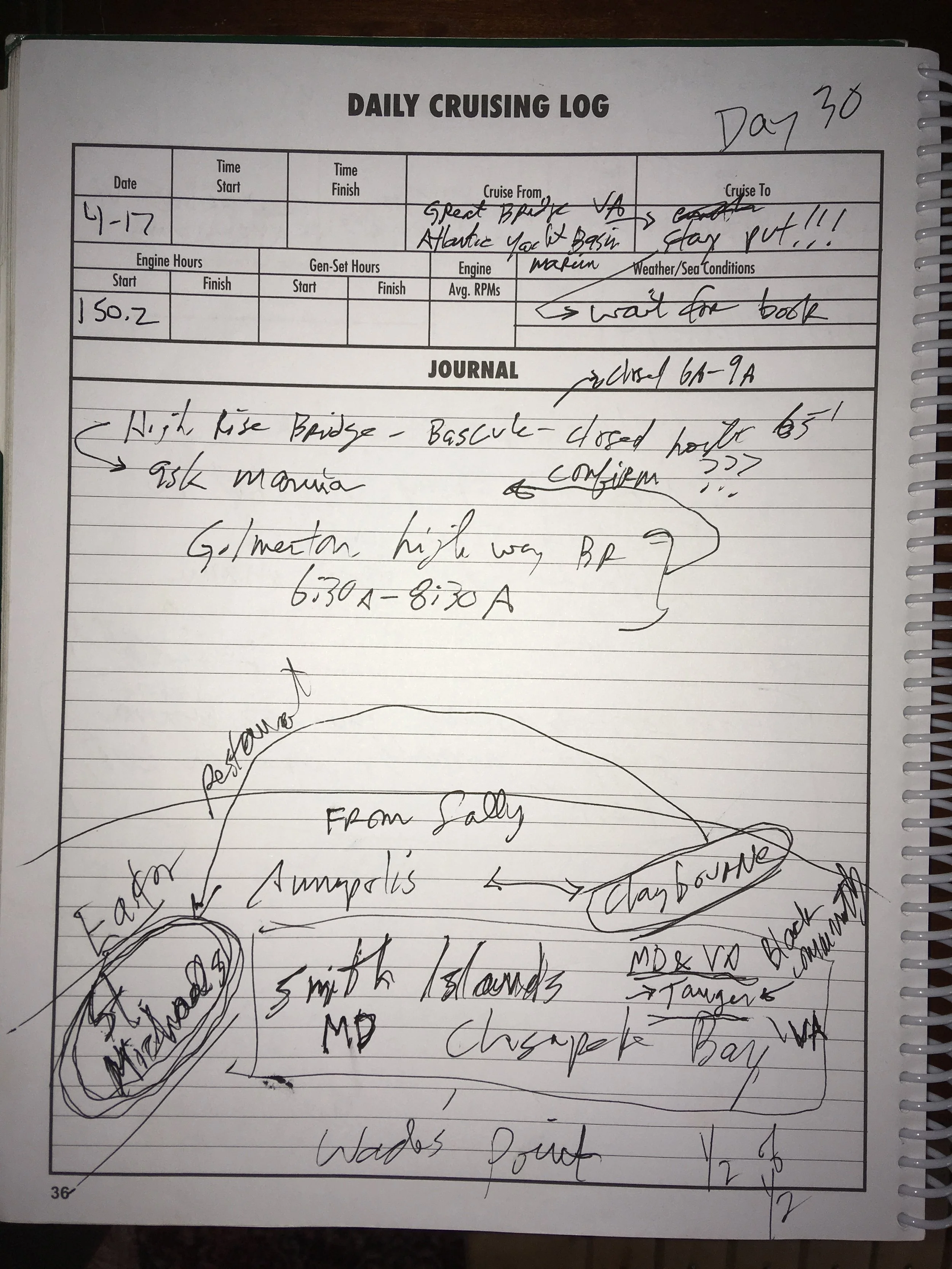
I see the entry “something nasty…” in the page above, and have absolutely no idea what that refers to.
I don’t have many pictures for this day because I was traveling through a fairly demanding part of the ICW. From Southport, you turn north and head up the Cape Fear River. You go up that for a while, then there is a long dredged channel across a shallow bay to the east. It’s well marked with buoys, but you really need to pay attention. Wind and tide will tend to set you sideways, so if you just point to the next buoy you can end up out of the channel and in the mud. In order to stay on your line, you need to keep sighting from the next buoy to the one beyond that, using them as a range. Of course the chart plotter helps a lot, but you still really need to pay attention. (A range is a navigation aid that involves two stationary towers, one behind the other, that you keep lined up with each other— sort of like the sight on a gun.)
From there you transit a long manmade (I think) channel that cuts across a peninsula, and then you’re back into estuaries and barrier islands. That canal, called Snow’s Cut, is quite narrow and also requires attention. So even though it was a short day, it was a taxing one.
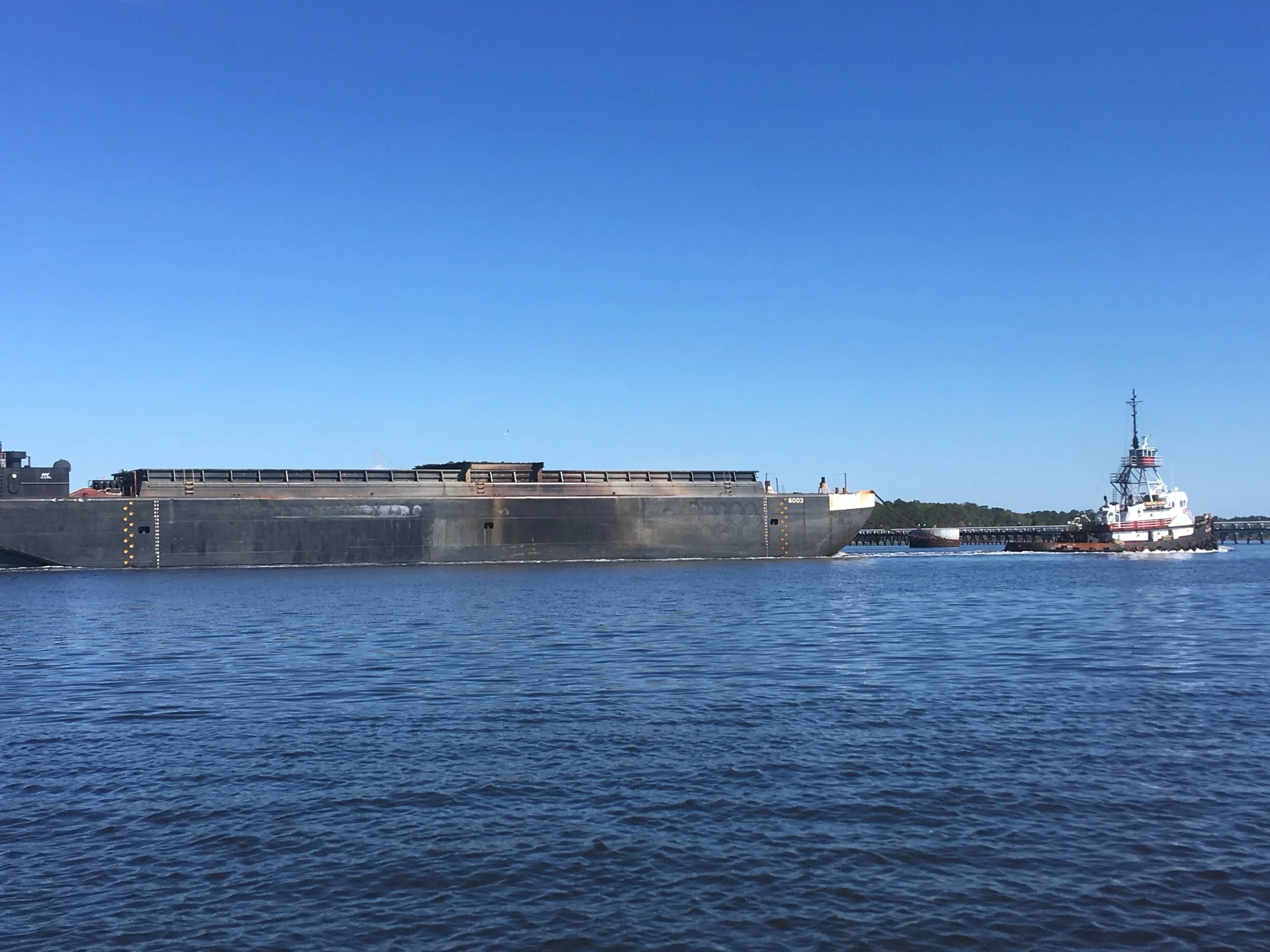
Another thing you really want to stay out of the way of.
Anchored at Wrightsville Beach. This was the rare anchorage where there was lots of space and I was able to set out a lot of scope. (Scope is the ratio of water depth to how long your anchor line is. Ideally you have a 6:1 scope, or six feet of anchor line for 1 foot of water depth.) Usually you don’t have room for that.
So I was anchored in this large lagoon, toward the west side and away from houses built on the east side. It wasn’t a terribly windy night. I got woken very early in the morning by the wake of a large power boat that came very close to me. I thought, boy, that was really rude. When I poked my head out of the companionway to look around, I was 100 yards closer to the houses than the night before. I had dragged my anchor all that way across the lagoon. Freak out! I was only 50 or 75 yards from the houses, and very near a marked traffic channel. So the boat going through was where he belonged, and I was anchored dangerously close to the channel. I told my friend Ed about this, and he said he’d had a similar experience in the same spot. Maybe the bottom is very soft mud or something.
When I started the trip I had very little experience anchoring, and it is an art… an art I never felt very good at, even by the end of my trip. I have a slightly oversized (for the boat) Bruce anchor, 40 feet of 5/16 chain, 150 feet of nylon rode (the chain or rope used to connect the boat to the anchor is called rode). This is pretty good ground tackle for my boat, and it served me well, but I hardly ever felt really secure and comfortable when anchored. And here, when I was, I practically dragged onto someone’s front yard!!! And in spite of (or maybe because of) dragging, I had a terribly hard time getting the anchor up the next morning.
Morning at Wrightsville Beach, suddenly much closer to these houses.
There are a bunch of drawbridges just north of here. They open on fixed schedules, not on-demand. They are timed so if you’re going somewhat faster than I can, you go through them like synchronized traffic lights. But since I’m poking along a 5 knots or so, it took me a while to get through them all.
Waiting around for the drawbridge to open.
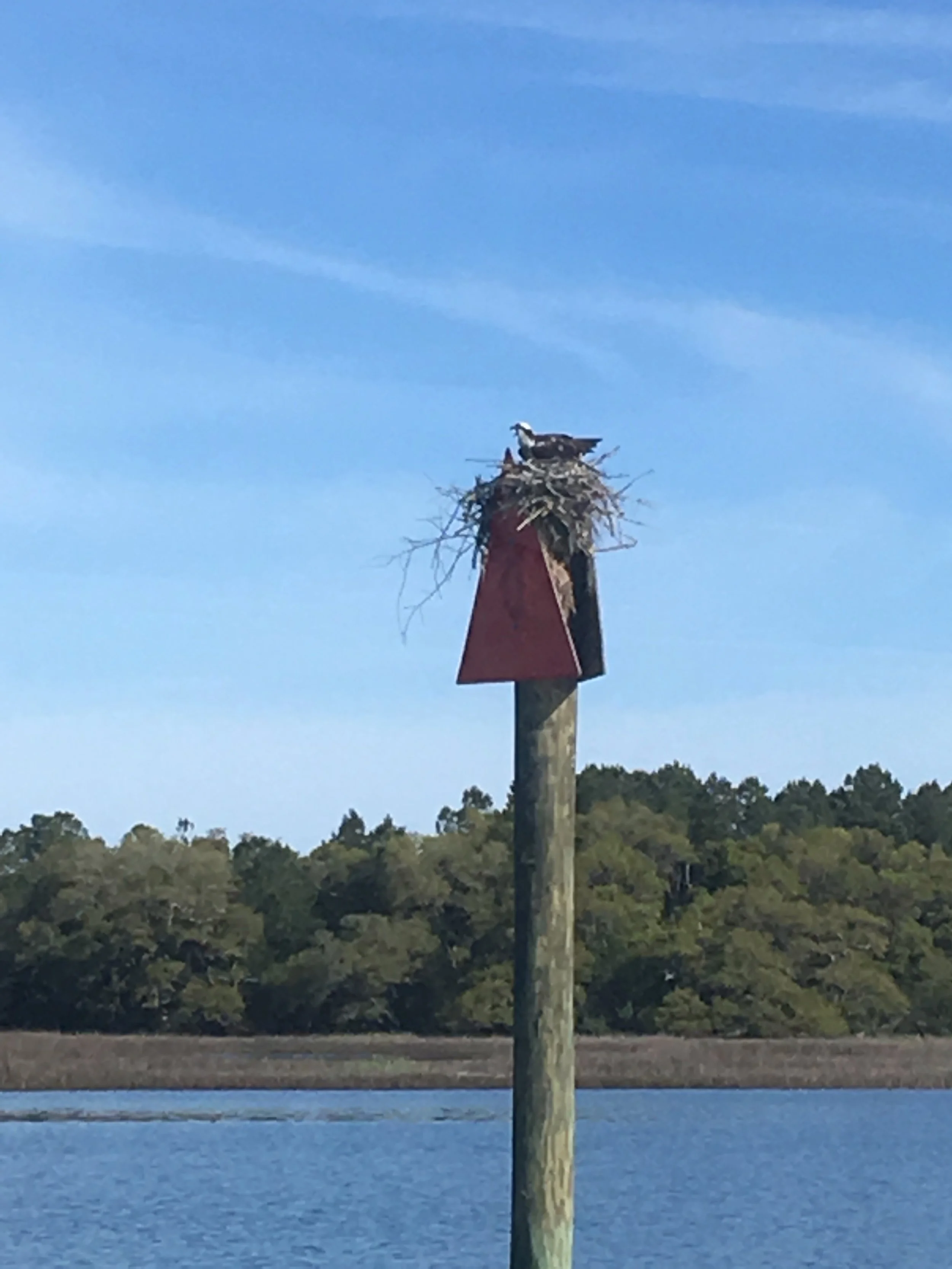
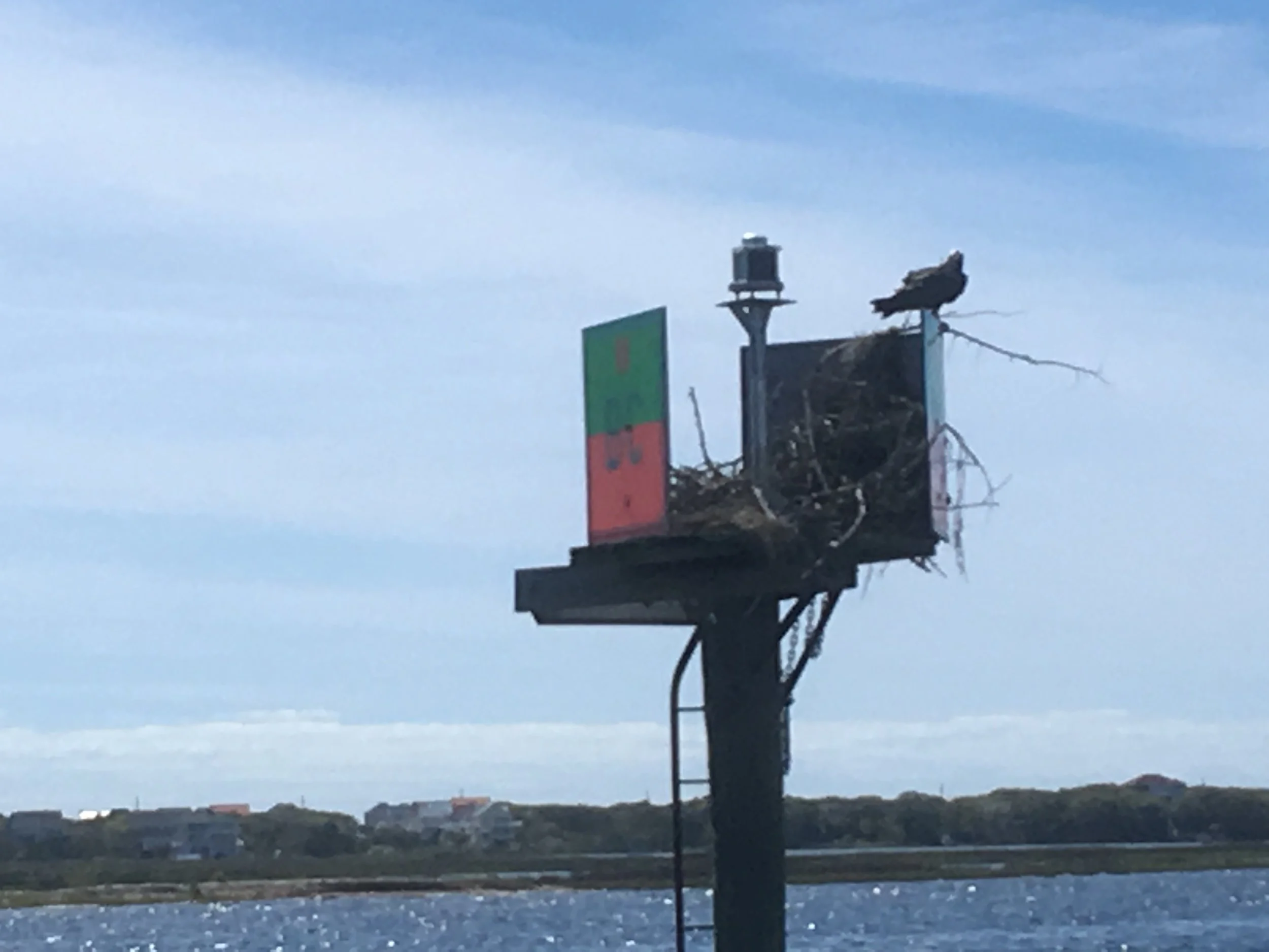
This is called a “day marker” and used extensively to mark the ICW. Practically all of them have nests, and if not, birds taking a break on them.
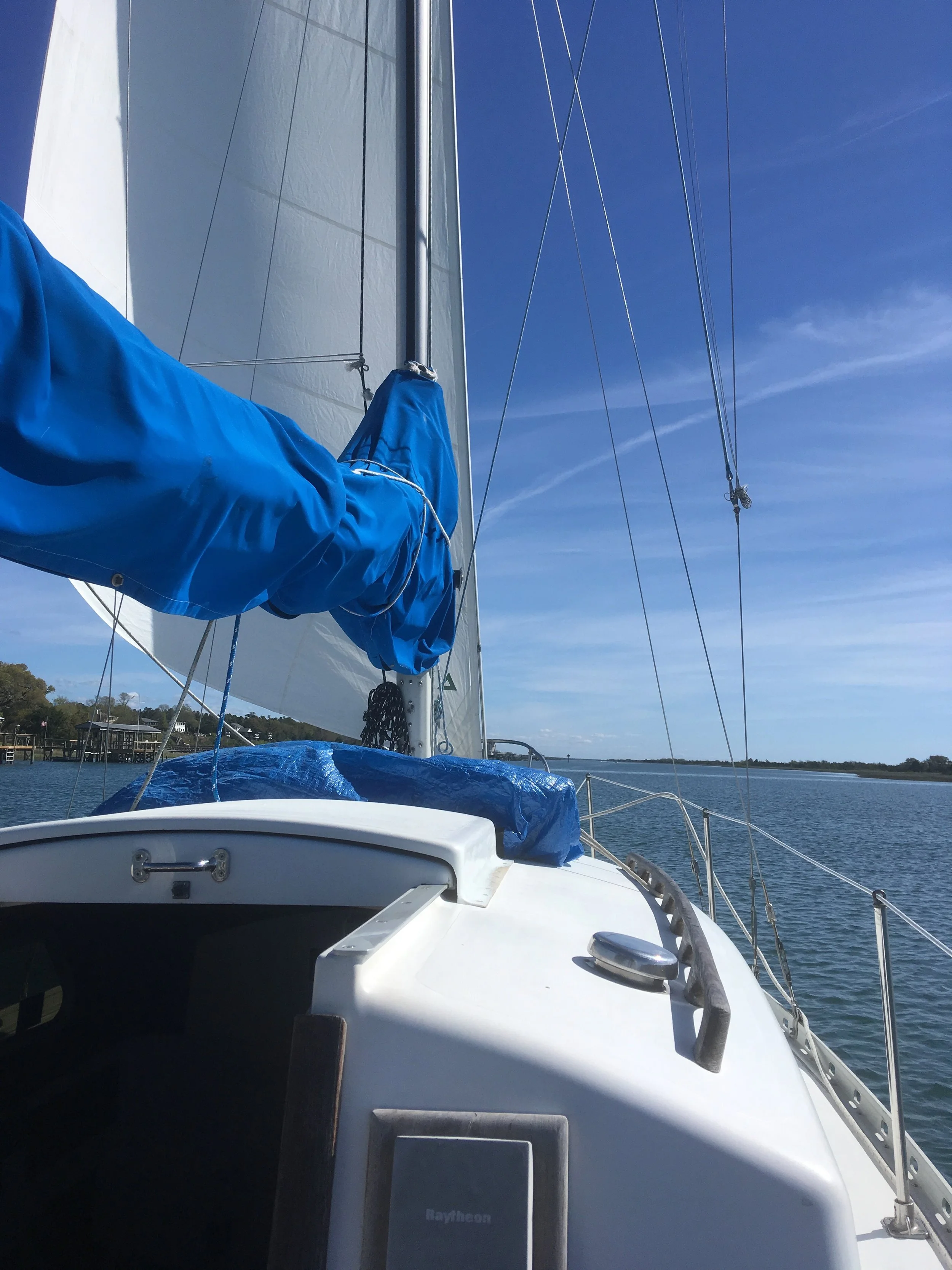
Sailing jib only. I have roller furling, so I can depoy and furl it quickly and easily, and from the cockpit, and on any point of sail. Getting the mainsail up is a lot bigger effort.
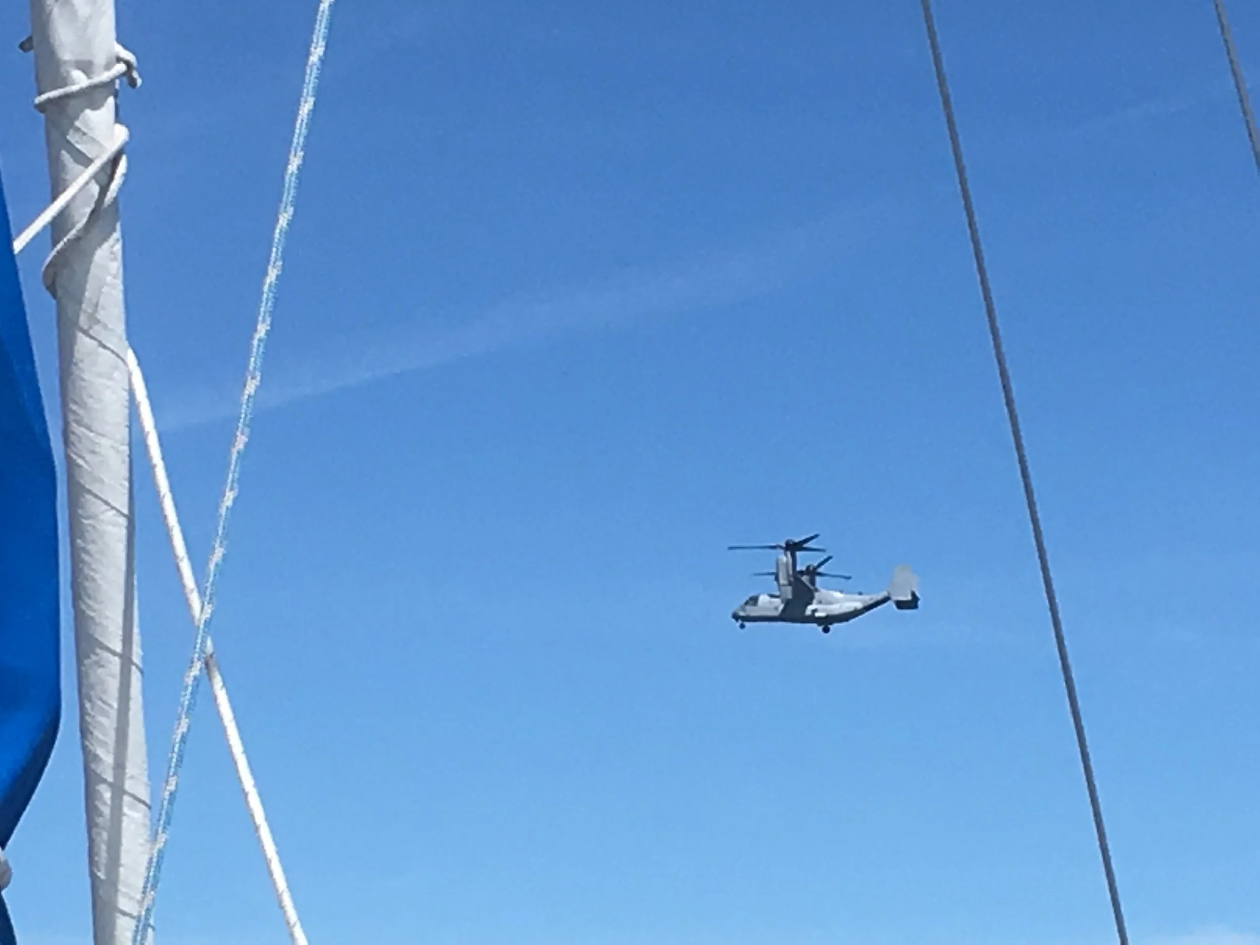
I’m getting near a Marine base where they have these Osprey’s. They can liftoff and land vertically like a helicopter, then the engines rotate forward and they fly like a conventional fixed-wing aircraft. Pretty cool. I’d never seen one before except in pictures. They had several crashes early on, but worked out the problems.
Anchored in Swansboro.
Morning in Swansboro
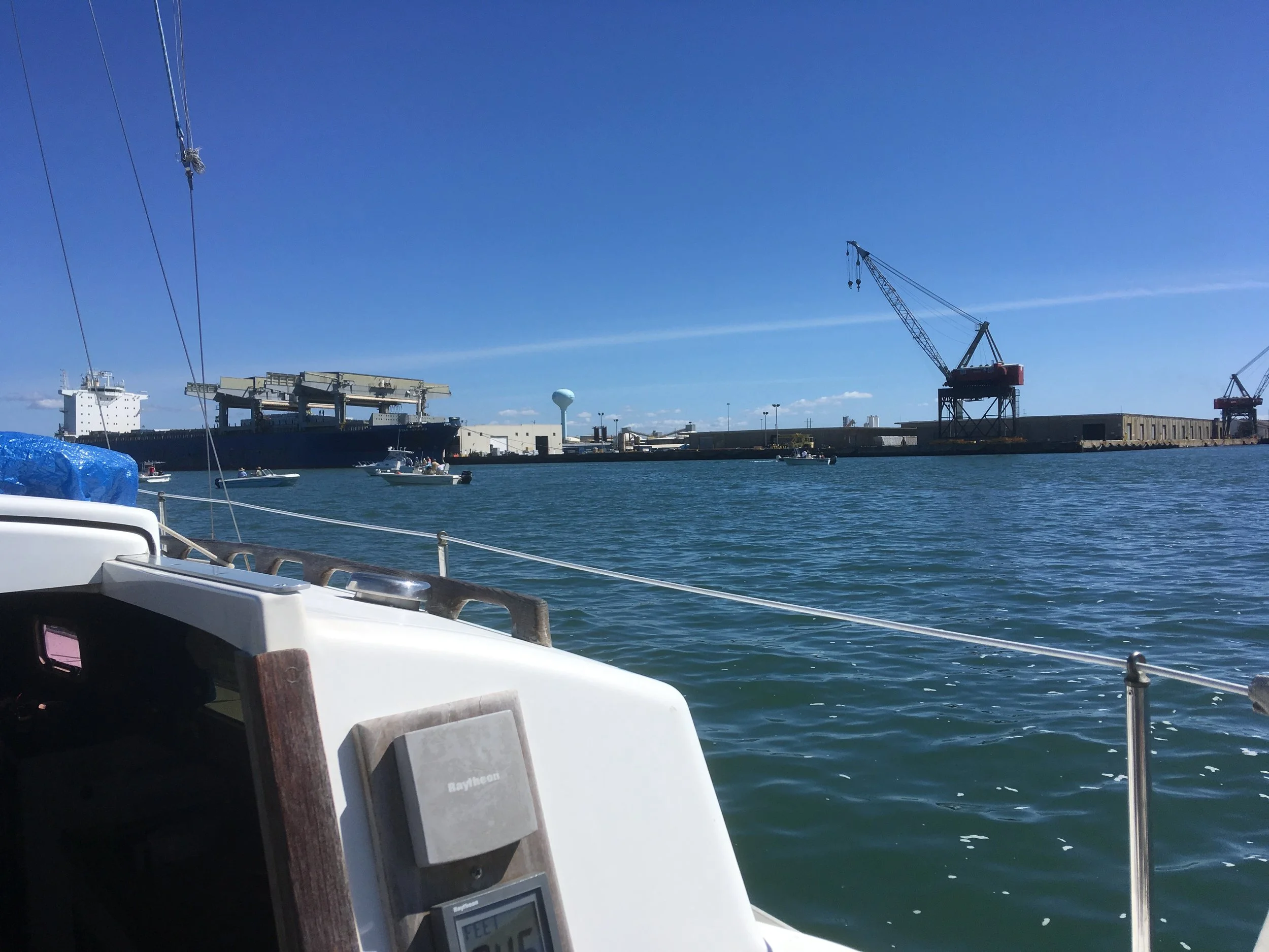
I’m pretty sure this is Morehead City. Some big port facility. Morehead City is a sort of notable place on the ICW. There is a restaurant where, if you eat dinner there, you can tie-up overnight very cheaply, like $20 or so. I was there in the late morning, so I pressed on to Oriental.
From Morehead City you turn north, inland, and travel through a long canal that takes you up a big body of water behind Cape Hatteras and adjoining barrier islands.
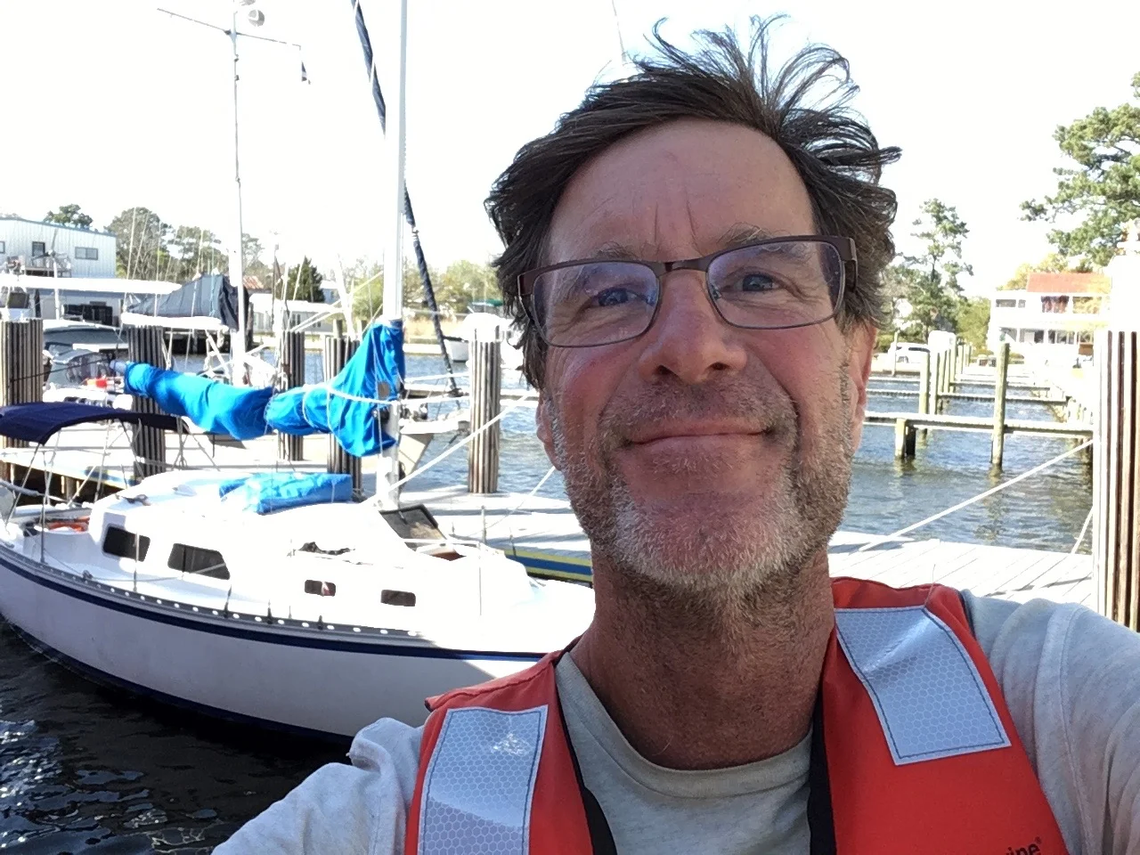
Here I am tied up at the Oriental free dock.
Oriental is another notable stop along the ICW. It’s got a nice free dock, and restaurants and shopping opportunities walking distance from the dock.
It looks like I got cleaned up some and had a nice breakfast.
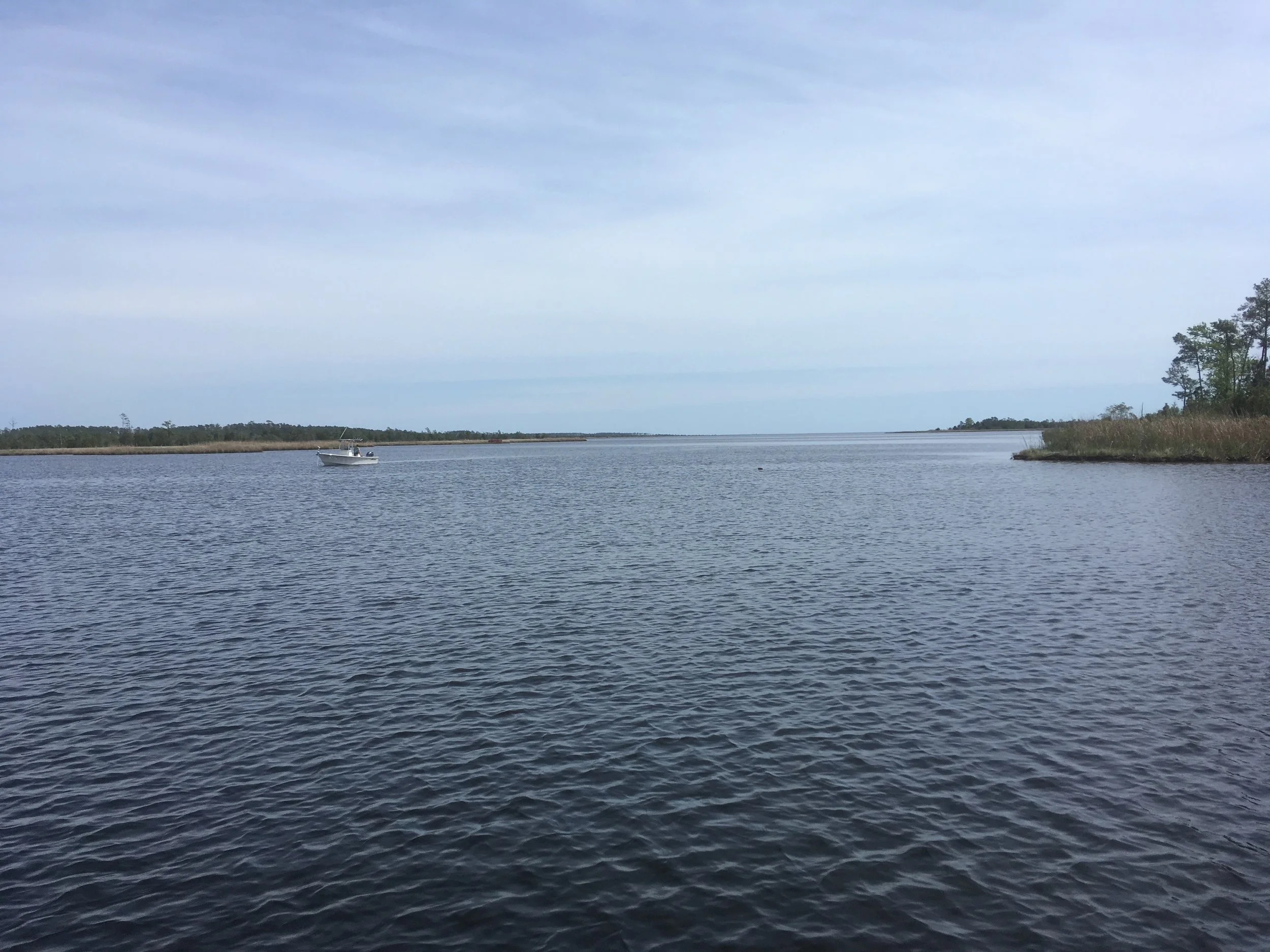
Pretty nice.
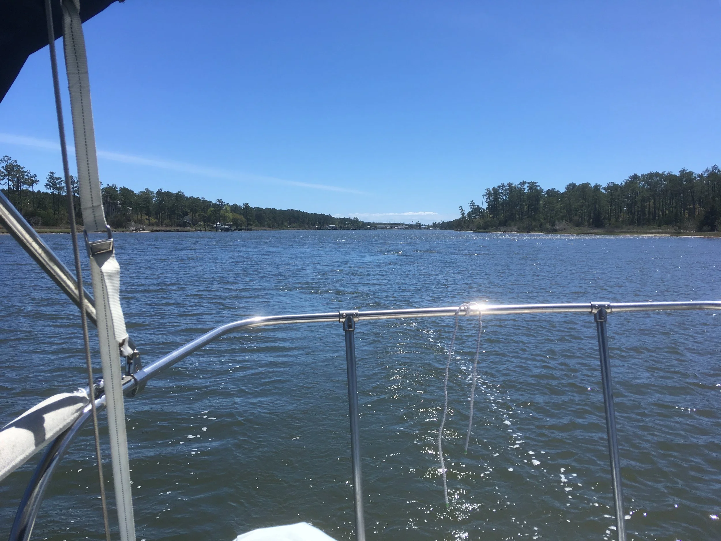
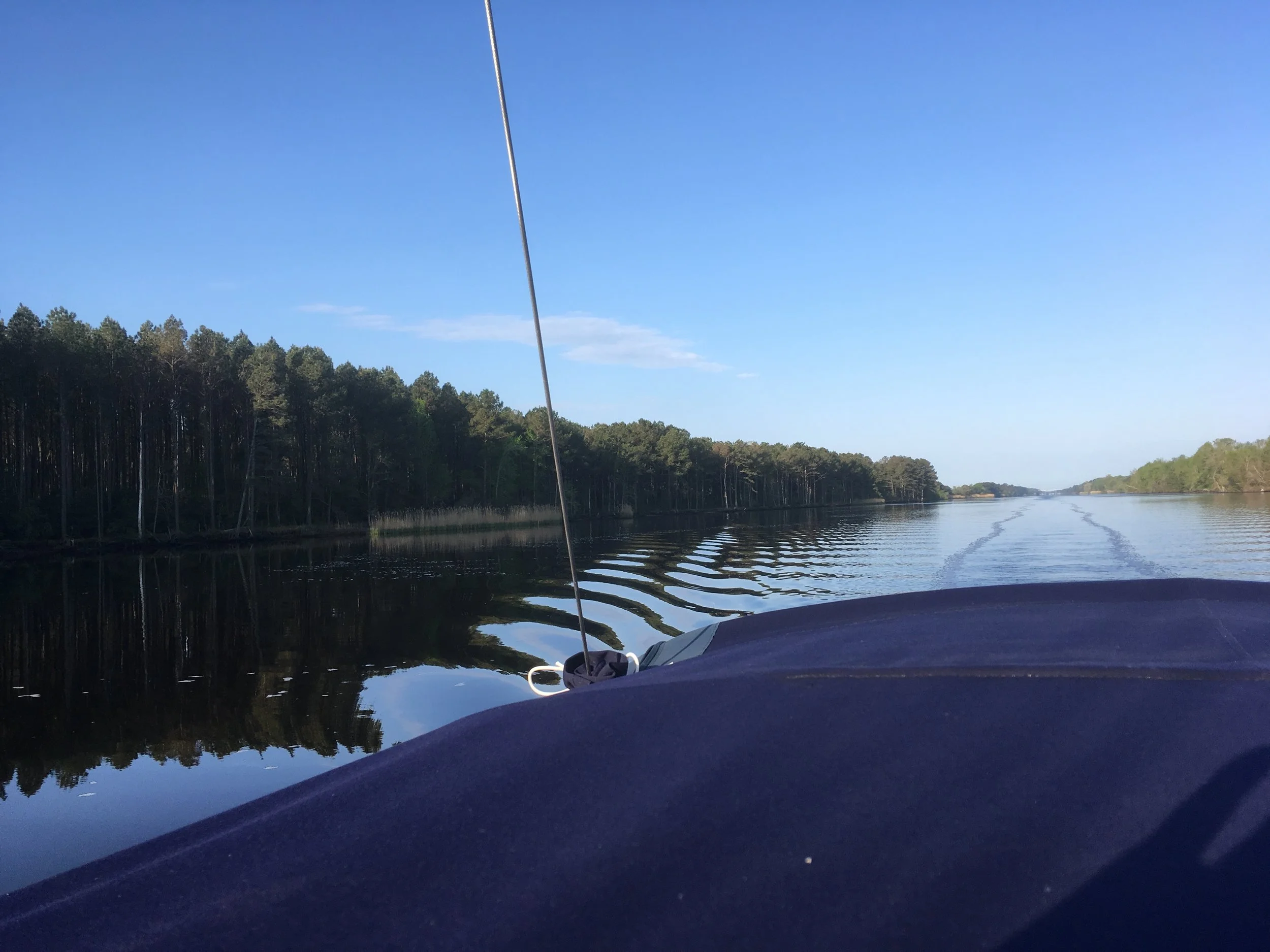
Nothing special here, but a lot of the ICW looks pretty much like this. When you’re not motoring through a forest.
I think this is actually the well known shrimp place with the free overnight tie-up.
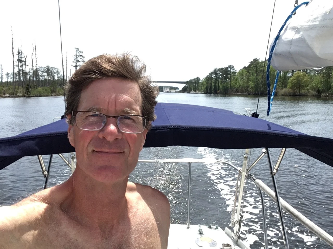
I guess it was warming up since I’m wearing a lot fewer clothes.
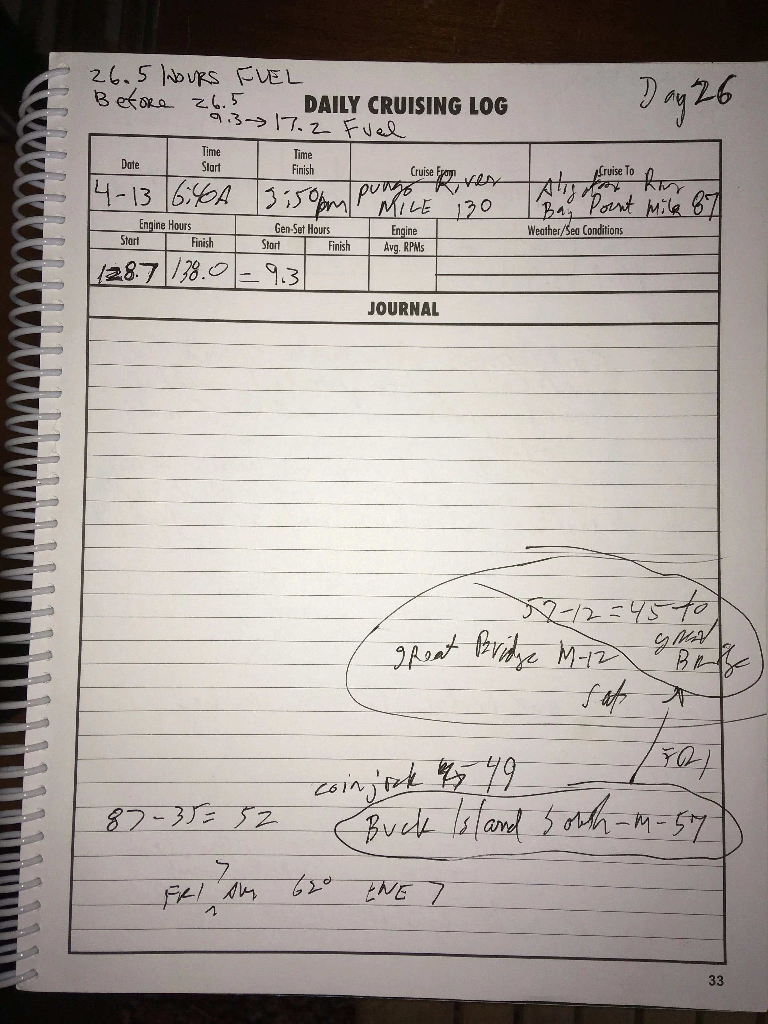
There’s not much in the log, but I remember this day well. It was one of the most demanding of the trip. There is a long man made canal called the Alligator River-Pongo River Canal. It’s more than 20 miles long, and it’s narrow, and it’s got high berms on each side. You can’t anchor and there are no tie-ups. If you encounter a large oncoming vessel it can be a real squeeze. It’s a bad place to have engine trouble, or run aground, or experience any other sort of problem.
I got through the canal smoothly. No oncoming traffic, no problems. But I didn’t realize that at the end of the canal, there was a long dredged channel before opening out into the Alligator River. So I was many hours in close quarters and having to focus to stay in the channel.
I had checked the weather closely to make sure I had a good window to get through the canal. But I paid more attention to the morning, and didn’t give much heed to the afternoon forecast that indicated 15 kn wind. When I finally got to open water I was pretty beat. The wind was blowing right up the Alligator River and blowing pretty hard. There was a steep chop and it was cold. As I was approaching the Alligator River drawbridge, I was so cold and tired that the prospect of contacting the bridge and asking for them to open seemed daunting. Also it was a narrow bridge, and I started to imaging if I had any trouble going through, my bow could blow off the wind and run me right into the bridge.
I was in a dredged channel in the middle of the river, but there was enough water east of me to anchor. So I turned right and motored halfway to shore and dropped anchor. I’ve never been so happy to be in the shelter of my beat-up cabin. I was pitching like crazy, but I didn’t care. I was glad to be safe.
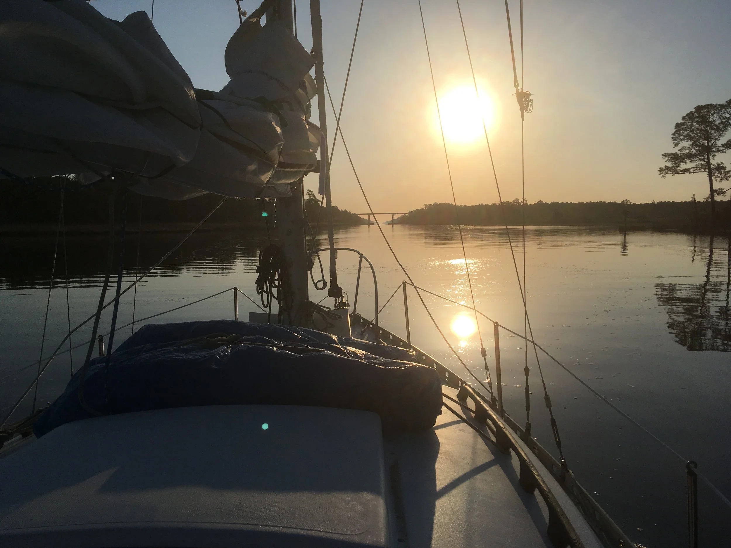
Sunrise. Nice.
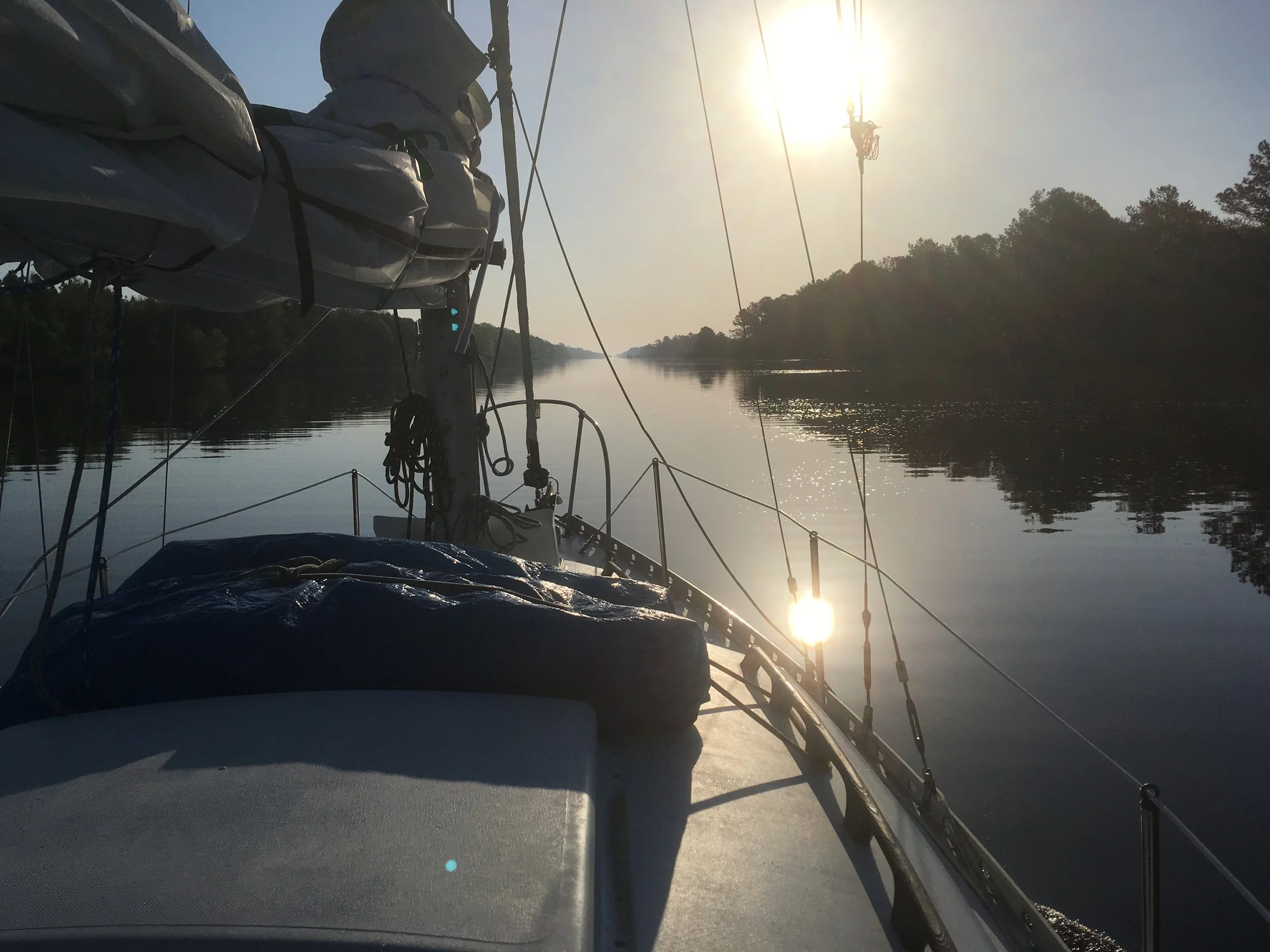
Into the rising sun. This is approaching the canal.
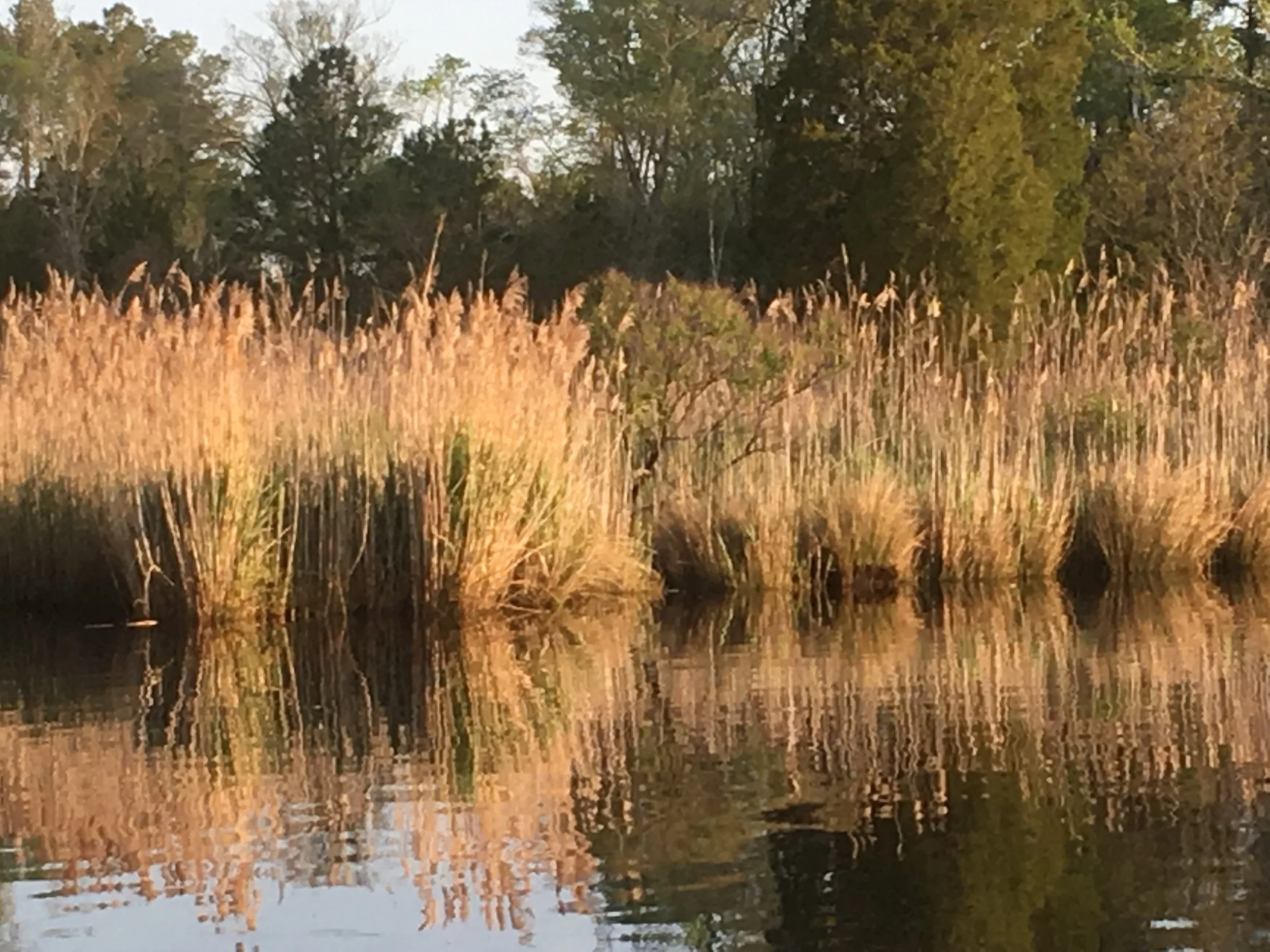
This grass or whatever it is really caught my attention. I think it is beautiful.
Approaching the canal.
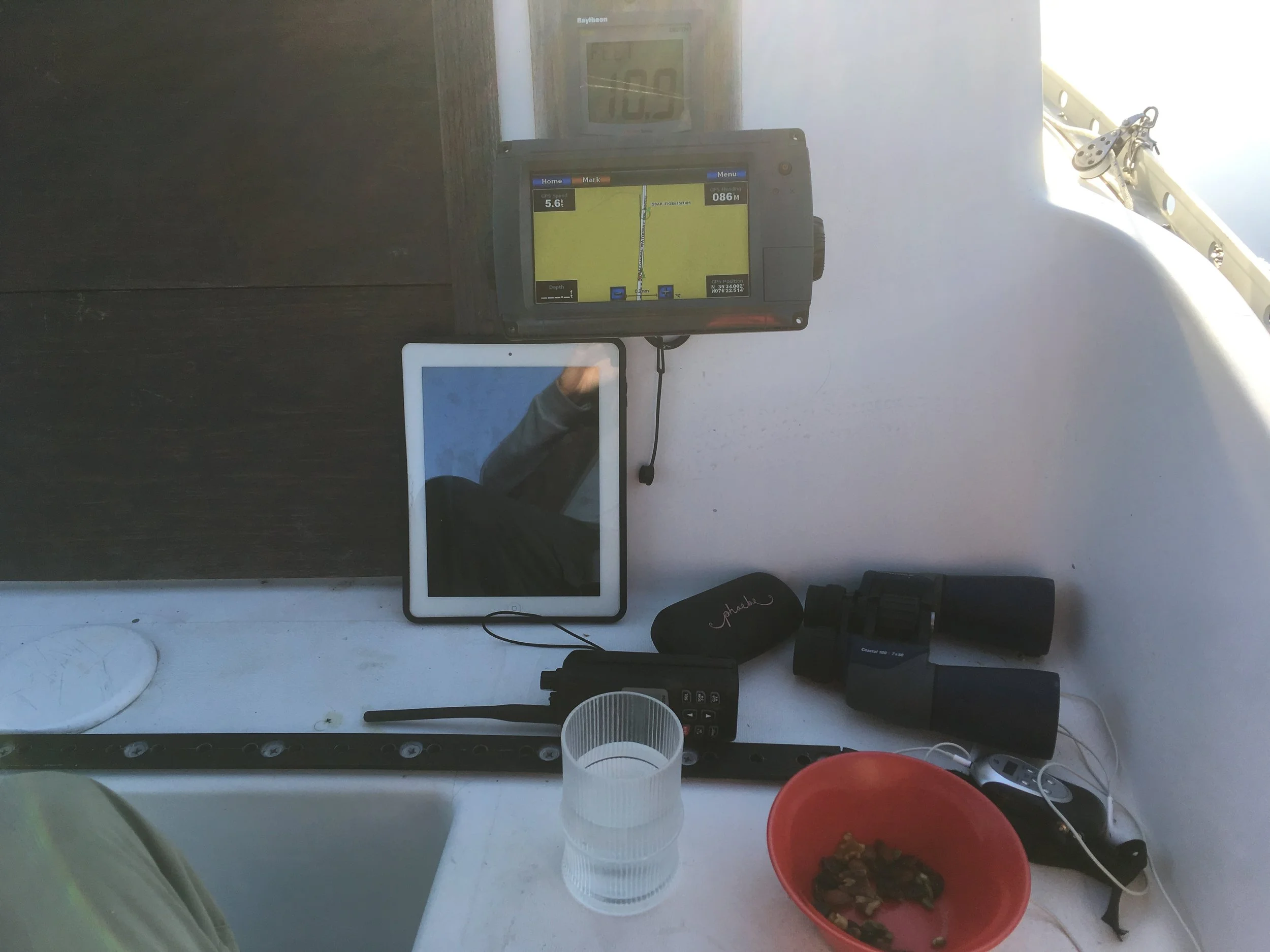
Cockpit detail. My depth sounder, chartplotter and iPad with Garmin Bluechart w/ ActiveCaptain so I easily could read the various cautions ActiveCaptain members had created regarding the canal. On the seat are sunglass case, binocs, handheld VHF radio, glass of water, bowl with raisins and nuts, and my armband radio.
I have my depth sounder set to read water under the keel instead of the actual water depth. That way I don’t need to keep subtracting 4’-9” from the indicated depth (arithmetic is not my strong suit). So I’m running along with 10.9 feet of water under my keel. The chartplotter is showing me traveling at 5.6 knots, close to 6 MPH.
I don’t have pictures of the long, narrow, ugly part of the canal. I was too busy trying to get through it safely to think about taking any, and it wasn’t a pretty sight.
Sunrise on the Alligator River.
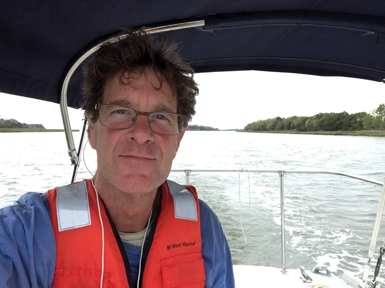
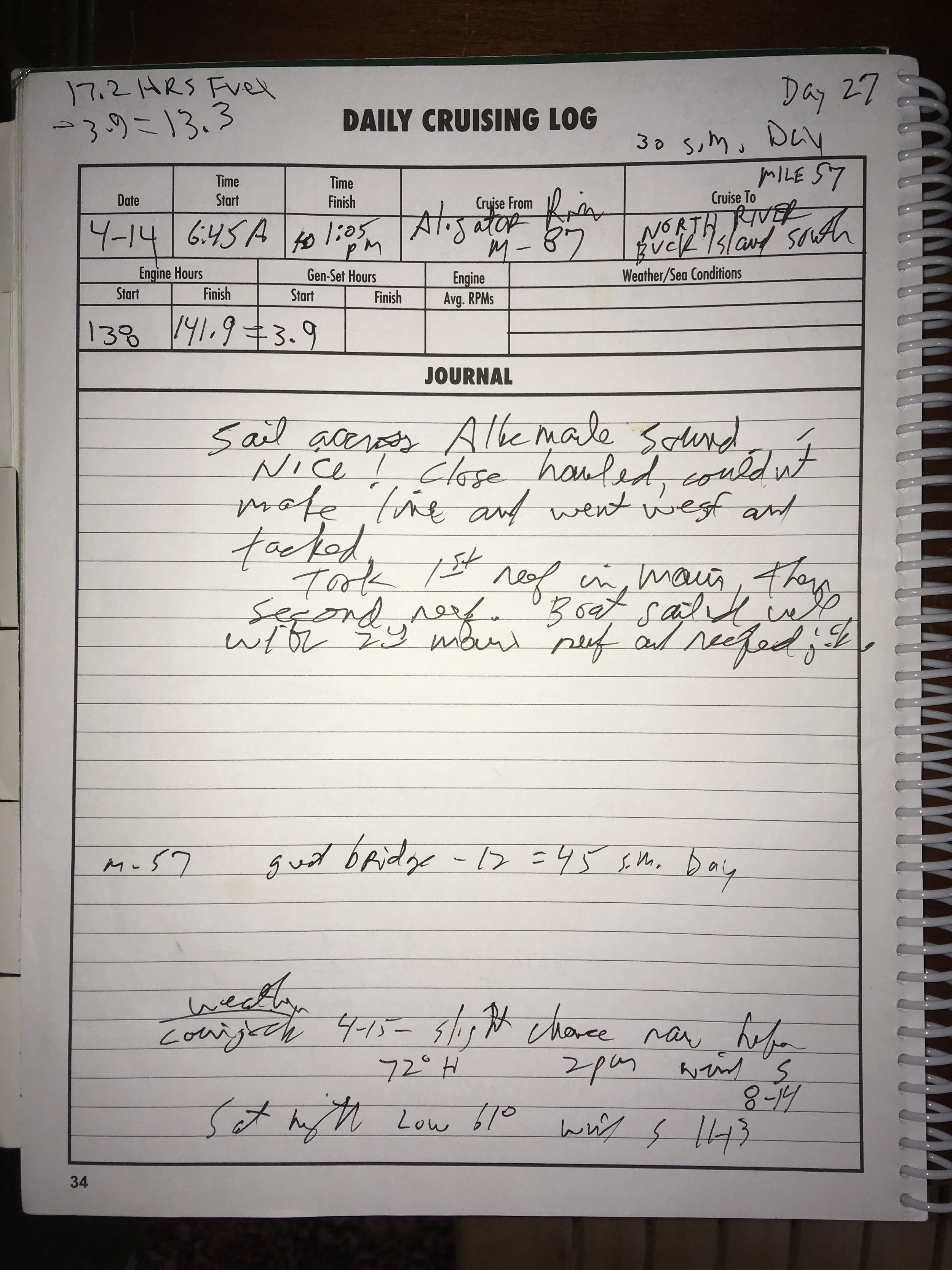
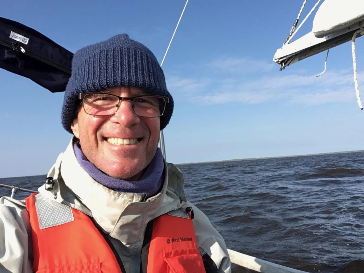
Here I am crossing the mouth of Albemarle Sound. My friend Ed warned me that it could blow like crazy here and to be careful crossing. I got to the sound early in the morning and the wind was just right for sailing and for a while I had my full main and jib. The wind built during the morning and I took a first reef, and then a 2nd reef in my main, and rolled in my jib.
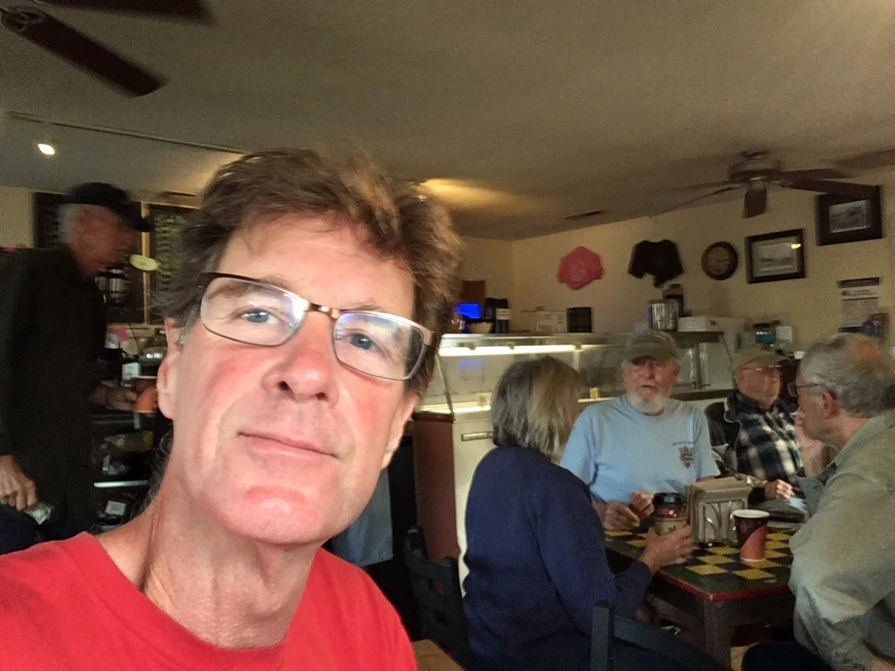
It was such a relief to be in open water after so much close-quarters motoring over the previous several days. I look pretty happy, huh? Even as the wind increased I never felt out of control, and the boat sailed well, even reefed way down. I was sailing close-hauled, pointing into the wind as much as I could. As I say in the log, I couldn’t quite keep my line to where I wanted to be on the other side, pushed to the west. But I tacked a couple times and sailed till I was close to the far side. It was fun, and it’s good I got an early start as the wind probably continued to increase through the afternoon. What a contrast to the rather harrowing previous day.
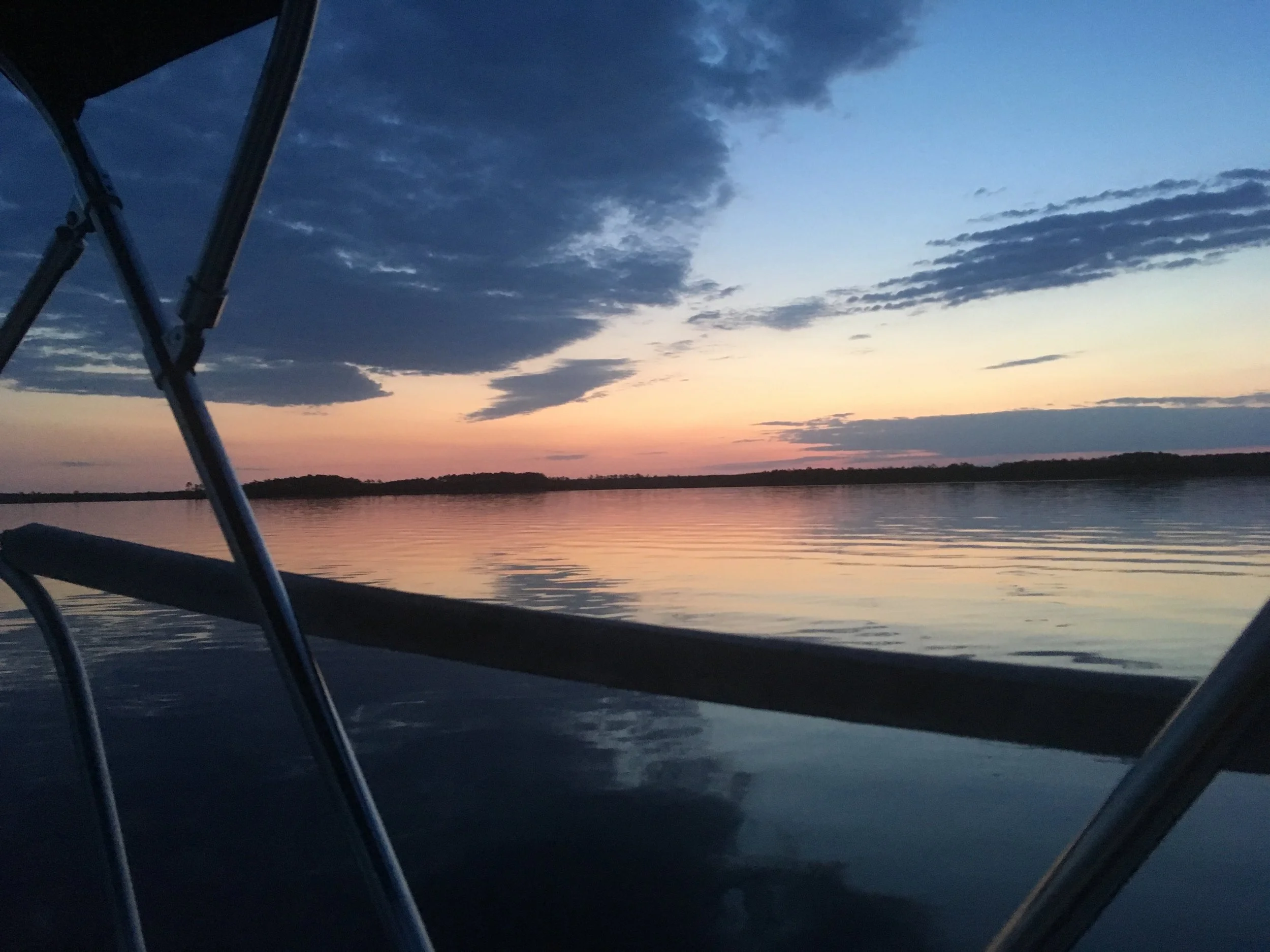
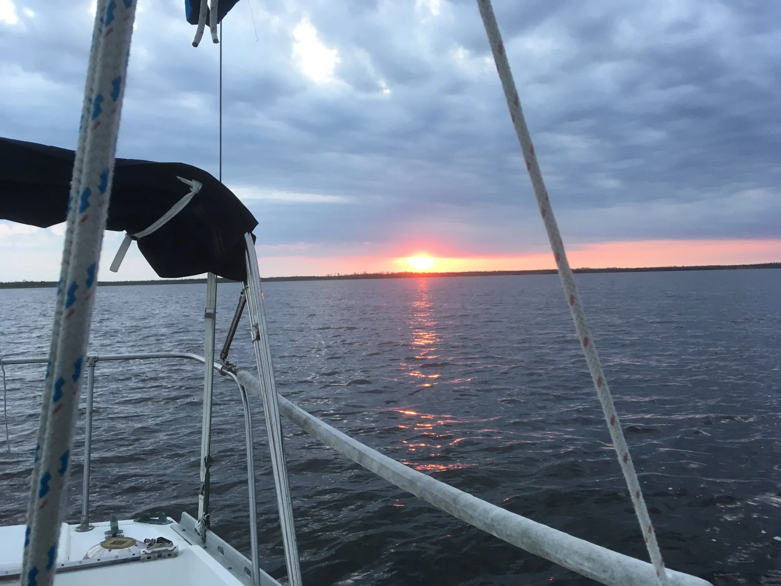
Sunset at my anchorage at Buck Island South on the North River.
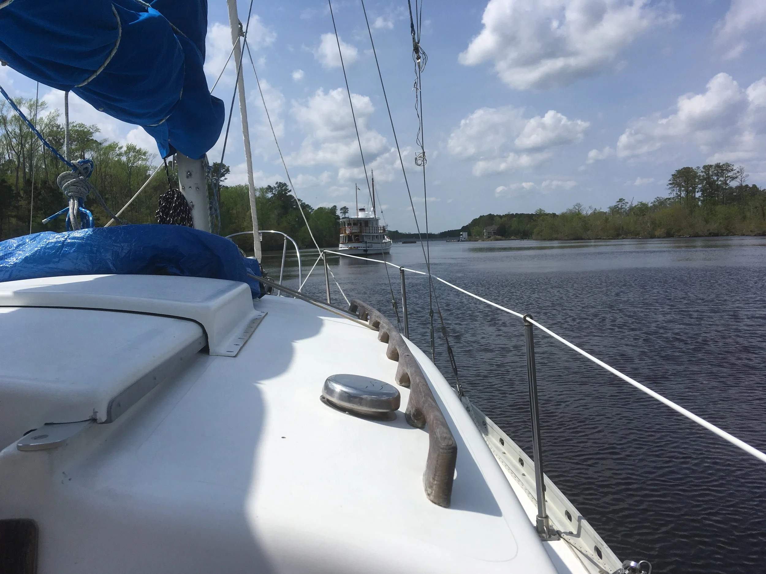
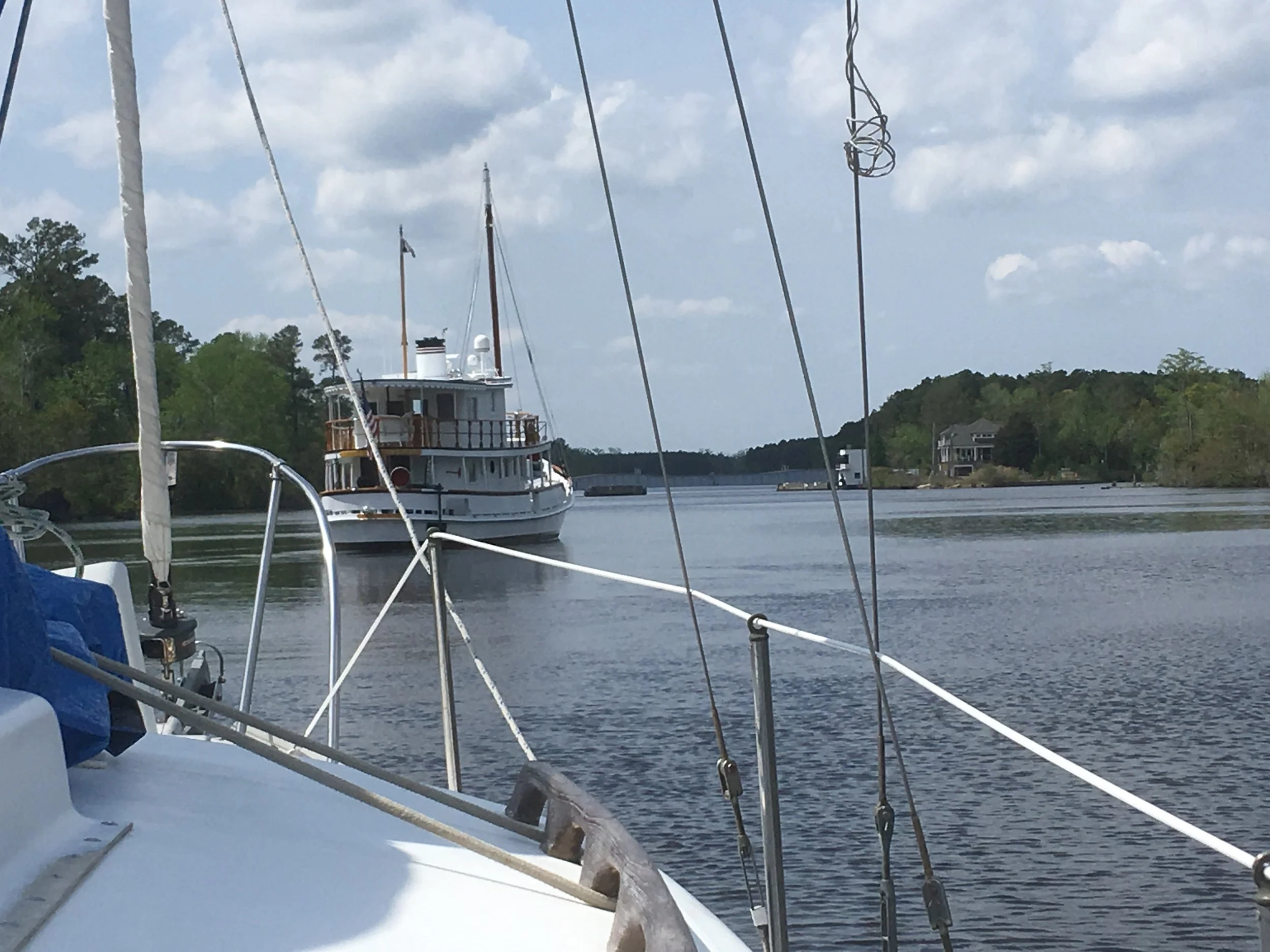
Me and that beautiful big power cruiser are waiting for that swing bridge to open.
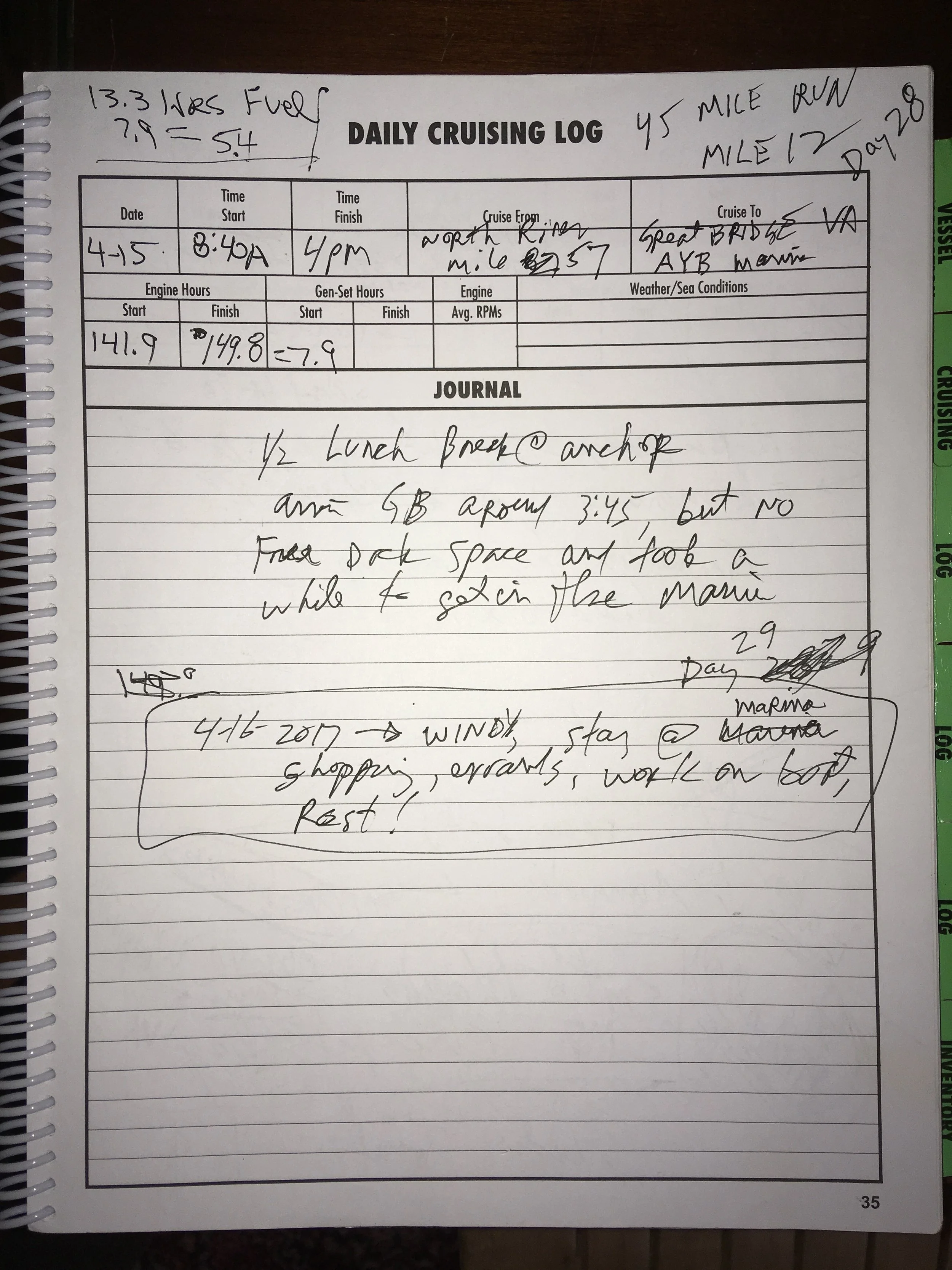
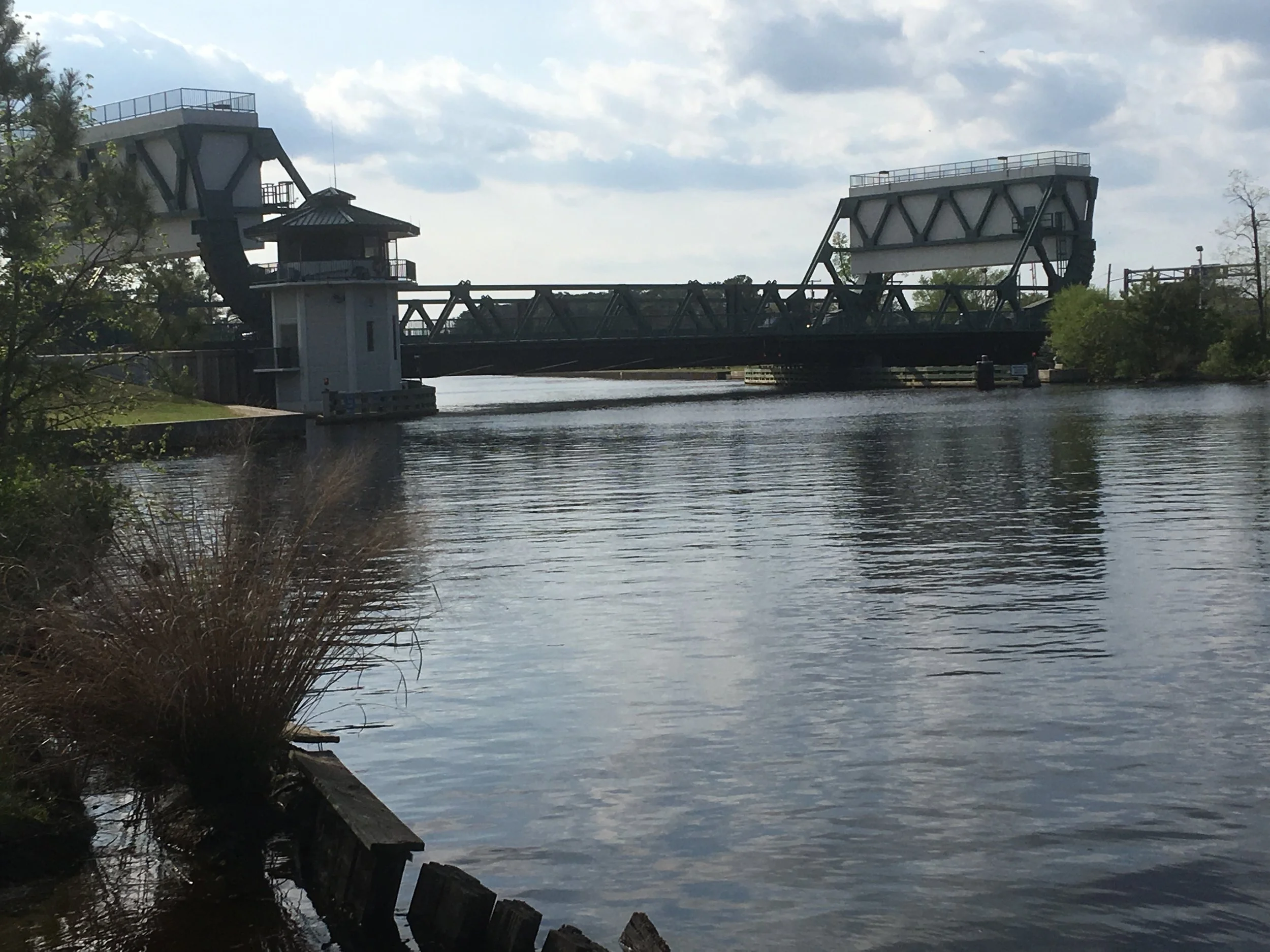
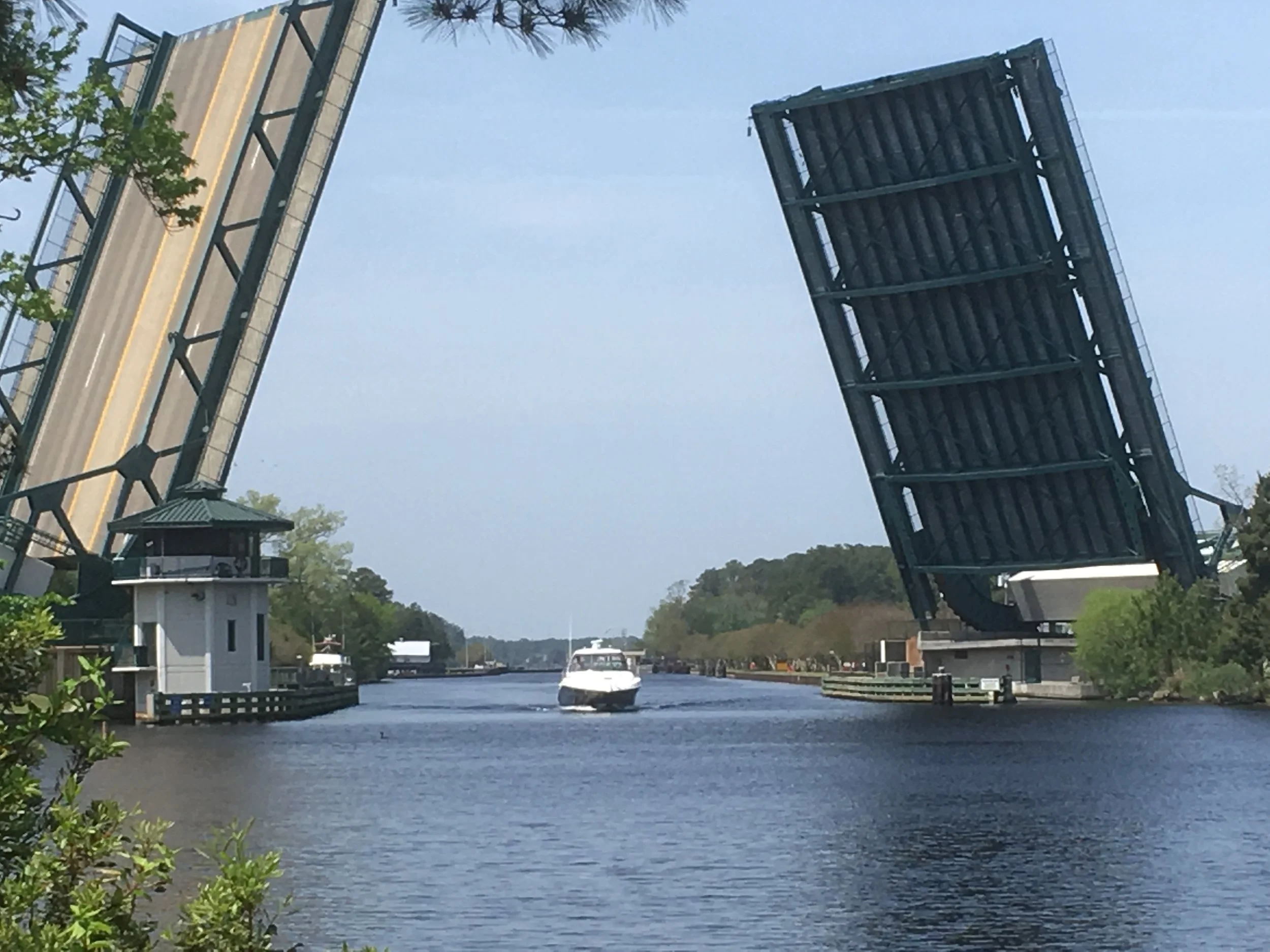
Here’s bridge at Great Bridge
Tied up at Atlantic Yacht Basin. Nice marina! Hung out here for a couple days. Ed told me this is one of the best boat repair yards on the eastern seaboard. And the tie-up was inexpensive— I think I only paid about $35 a night.
According to Ed, this is the only stop on the ICW where you can walk to a place to refill your propane tank. So I did that. And grocery shopped, and had some meals ashore.
As I was walking back from town to the boat I met a guy also headed back to the marina. We got talking and he invited me to come see his boat. It was a beautiful big power cruiser, 42 feet long and built on a Maine lobster boat hull. I can’t recall exactly, but I think he had had it custom built. Me and this guy visited for a while and I learned a lot from him, and he seemed to enjoy my company. He took the boat to Boothbay Harbor Maine in the summer, and south in the winter— don’t recall exactly where. He had used the boat for a long time, but he was getting older and had just put it on the market to sell. He mentioned the diesel engine in the boat cost $100,000, so it was well out of my price range!
This guy also told me about a book called Eldridge Tide and Pilot Book. He said it had a lot of good information about tide and currents for the east coast of the US, especially the northeast. He encouraged me to buy a copy. The store at AYB didn’t have it in stock, but said they could get one the next day, so I used that as an excuse to stay for another day.
This book was written by a guy in the middle of the 19th century and a new version of it has been published every year since then, and it’s published by descendants of the guy who wrote it. I think that is so cool. In addition to details about currents and piloting recommendations, it has lots of other useful and entertaining information.
One of my favorites in an article about naming boats, which explores that strange phenomenon that many many people feel compelled to name their boat with silly puns. “Choose a name you can use in casual conversation without raised eyebrows. Is Wet Dream a boat to which you’d care to invite prospective in-laws?” and “Try for a name you won’t be forced to spell on the VHF, every damn time. Afrayed Knot doesn’t fit this category. Think carefully about the grim possibility of sending a MAYDAY. Do you truly want to ask the Coast Guard to come to the rescue of Sugar Booger? Will they be enthusiastic about the prospect?” It goes on and on like this. Very droll. I think it was one of the funniest things I’ve ever read— worth the cost of the book by itself.
I really liked Great Bridge. Here are some more pictures.
Here’s the bridge at Great Bridge open. I think this is called a cantilever bridge. Or maybe it’s just a big bascule bridge. My Dad was a chemical engineer, but he had an amazingly broad range of knowledge about many things. When I was young I remember driving somewhere with him and we passed a vertical lift bridge, and he told me what type it was, and about the other types of drawbridges.
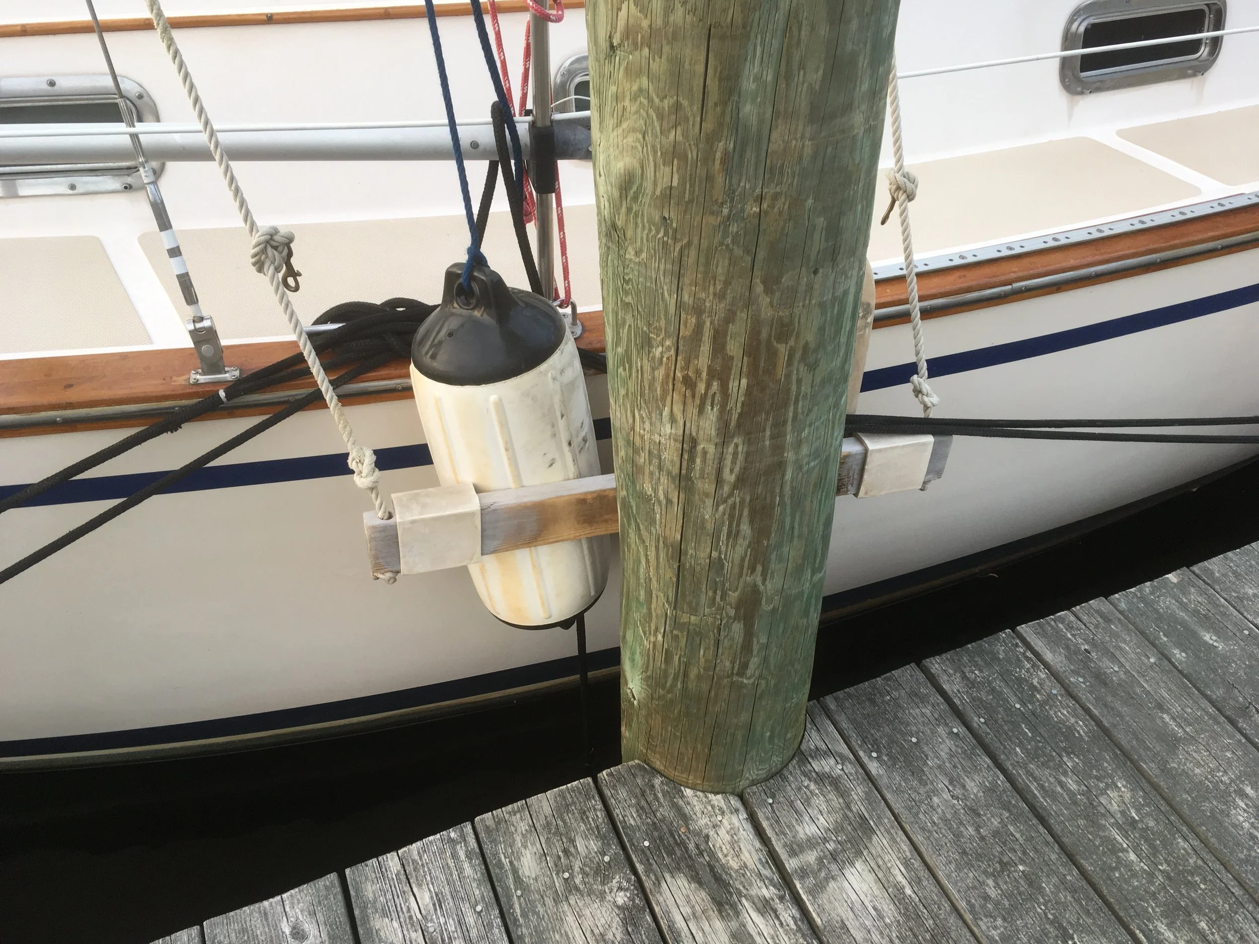
I took a picture of this to remind me to make fender boards. Those white things that people instinctively call bumpers and actually called fenders, and using them in conjuction with fender boards is a really good way to tie up to a dock like this with big pilings. I tied my fenders up from both ends to make them horizontal, and that worked okay. But my fenders are not that long, so I need to get my spring lines really tight so the fenders didn’t slide off the piling.
Boats are tied to docks by breast lines, which run from the bow and stern to the dock, perpendicular to the dock, and hold the boat toward the dock. But they don’t have good leverage to hold the boat from surging forward and back. Spring lines run from the bow to a point on the dock back toward the back of the boat, and tie to the dock. They keep the boat from being able to move forward. Another does the opposite, from the stern of boat forward to the dock near the bow. If made it through this paragraph and understand it, you now know more about how to properly tie a boat to a dock than many boat owners!
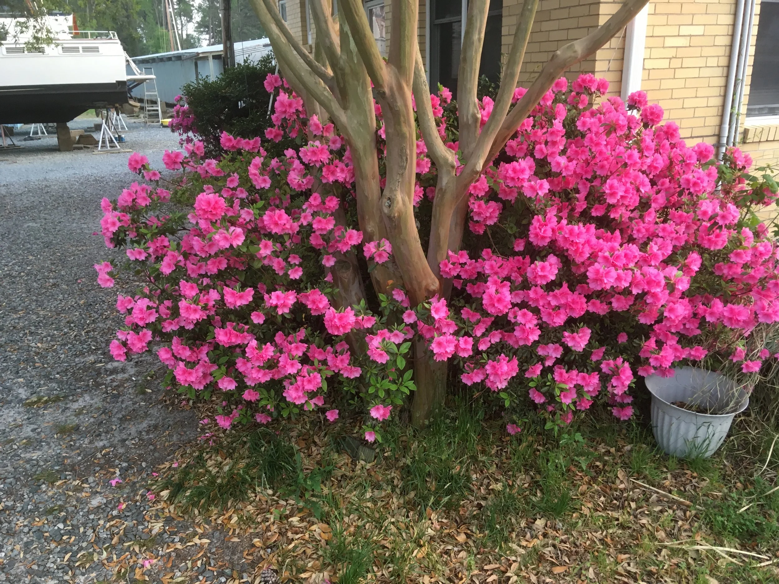
Spring!
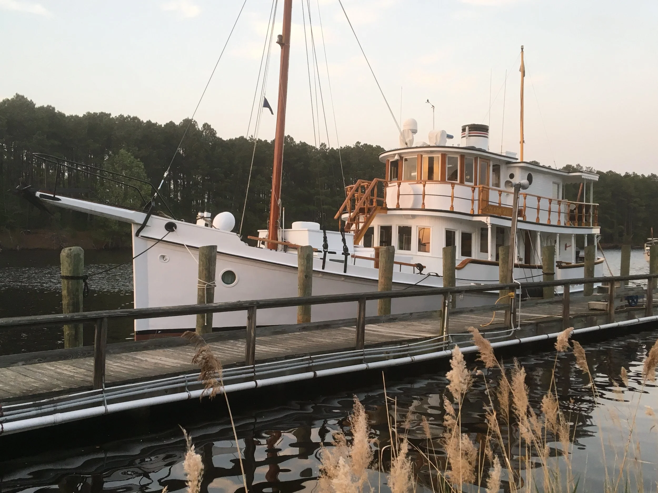
I do believe this is that nice powerboat that was waiting with me for the drawbridge on the way up to Great Bridge. Some sailors seem compelled to feel contempt for all powerboats, but I like some, and this is one of them. I took a close look and it’s an all wood boat, very well maintained.
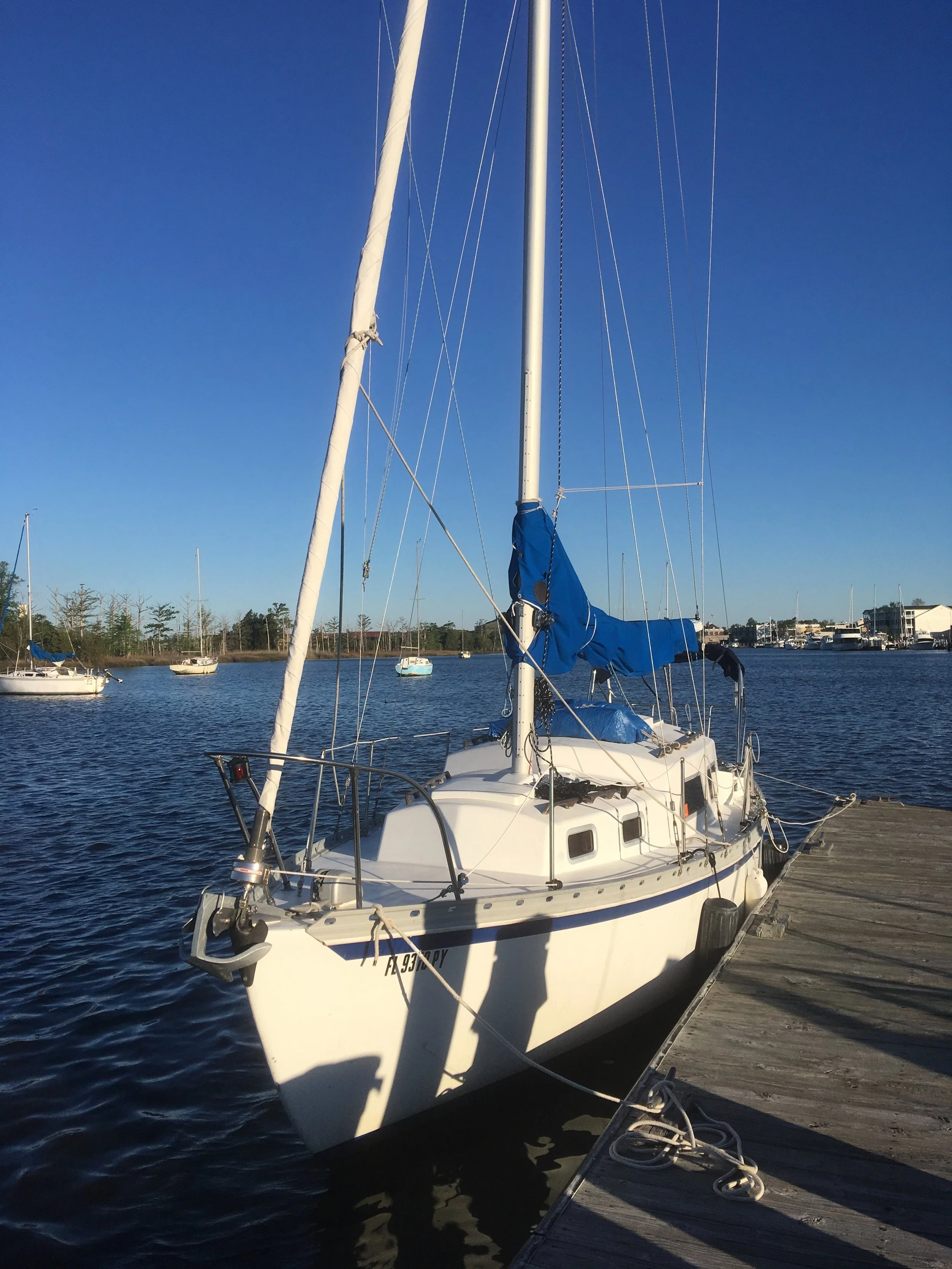
Another view of Fairlady.
I really enjoyed hanging out at Great Bridge and AYB. It was sort of hard to get going again.
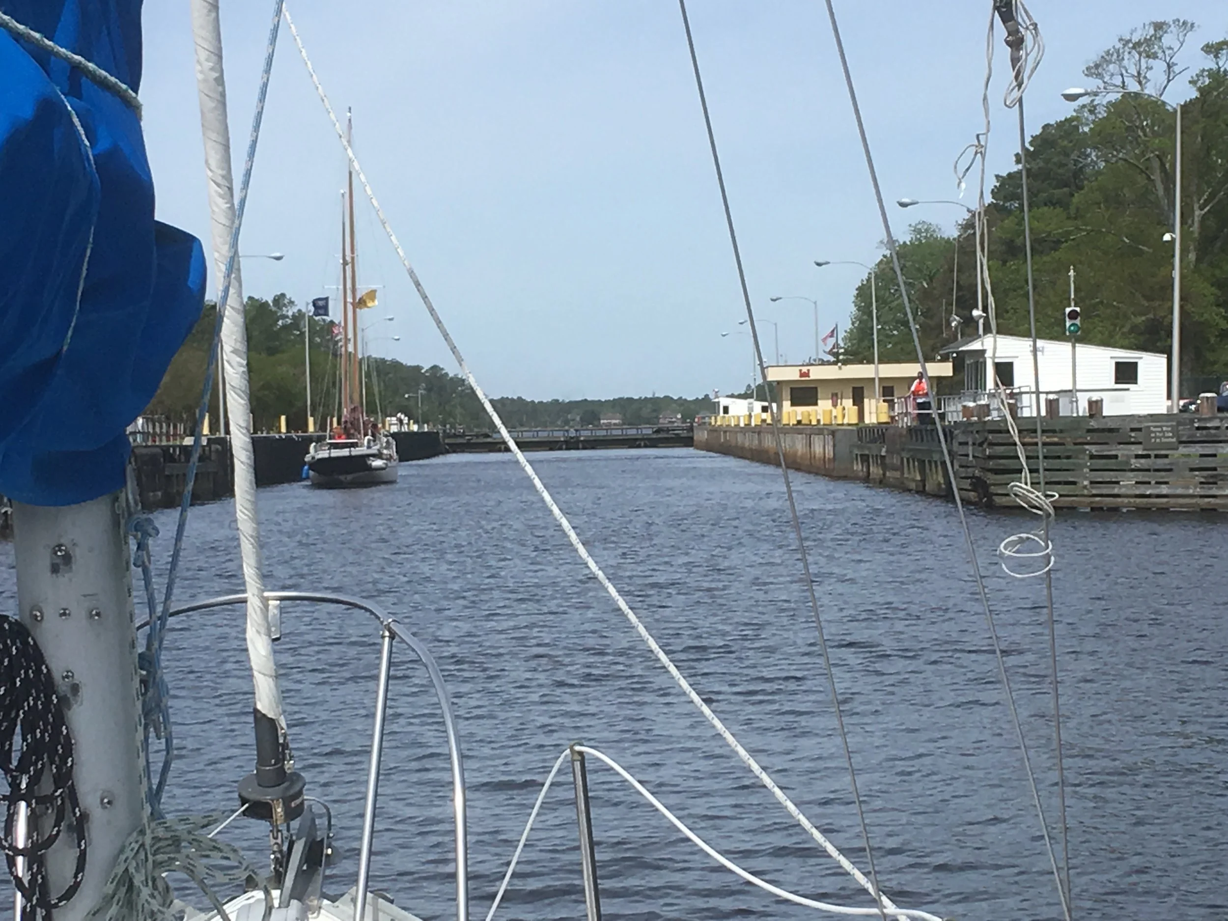
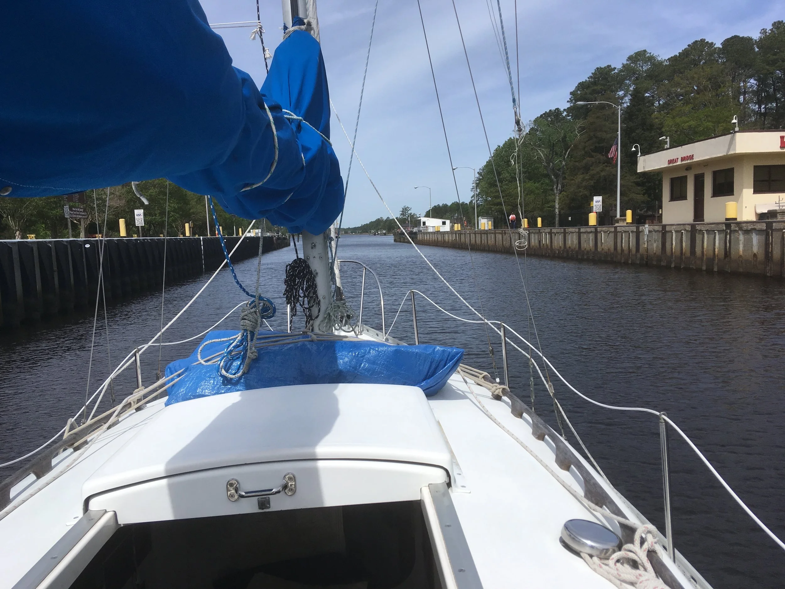
The ICW is a sea level waterway. There is just one lock, and it’s at Great Bridge. I was curious about why there was a lock if it was a sea level waterway, and I heard two explanations. One is that the lock prevented strong currents that would otherwise exist. The other is that one side of the lock is fresh water and the other is salt, and its ecologically desirable to keep them separated. They could both be true.
So here I am entering the lock at Great Bridge, the one and only lock I’ve passed through in my life. I was tied up to the wall on the left, but don’t seem to have any pictures.
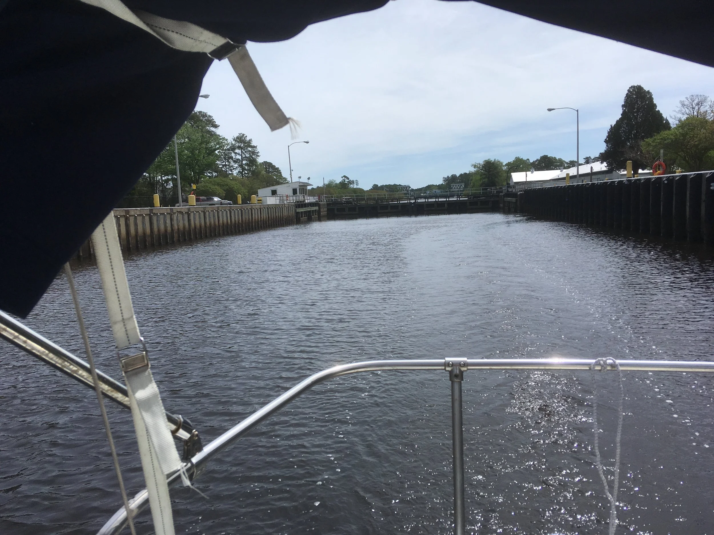
Heading out of the lock.
Heading out of the lock looking aft.
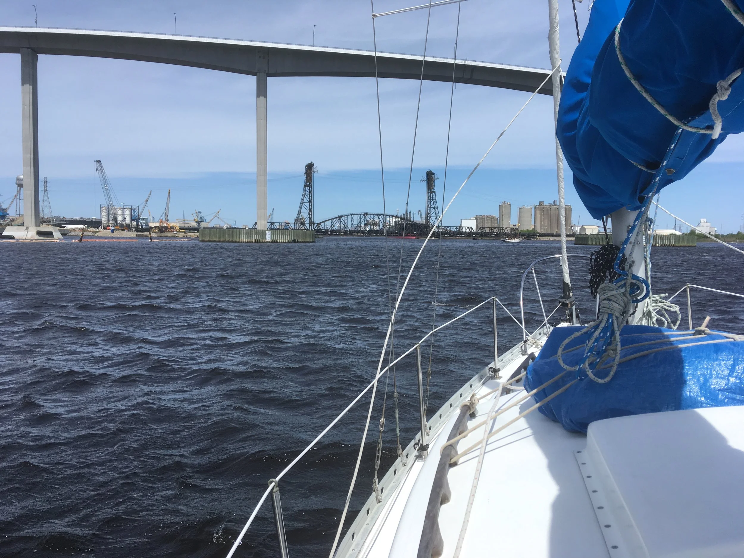
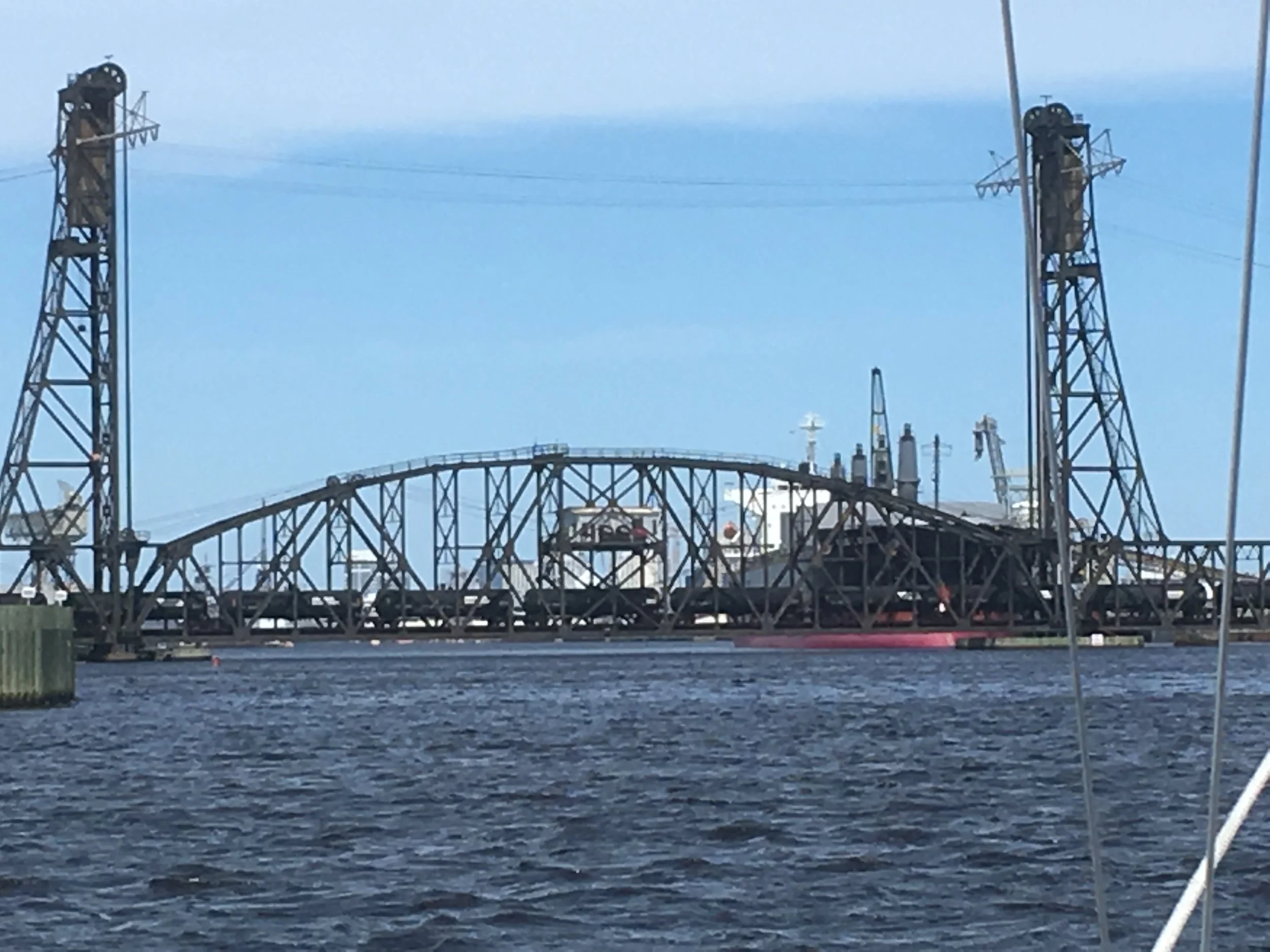
I’m in or near Norfolk here. The ICW runs right under that black, a vertical lift railway bridge, currently closed. Railway bridges are typically open, then close when there is train traffic, then reopen.
Yep, there’s a train crossing the bridge. After it opened, I guess I was too busy getting thru it to take a picture of it open.
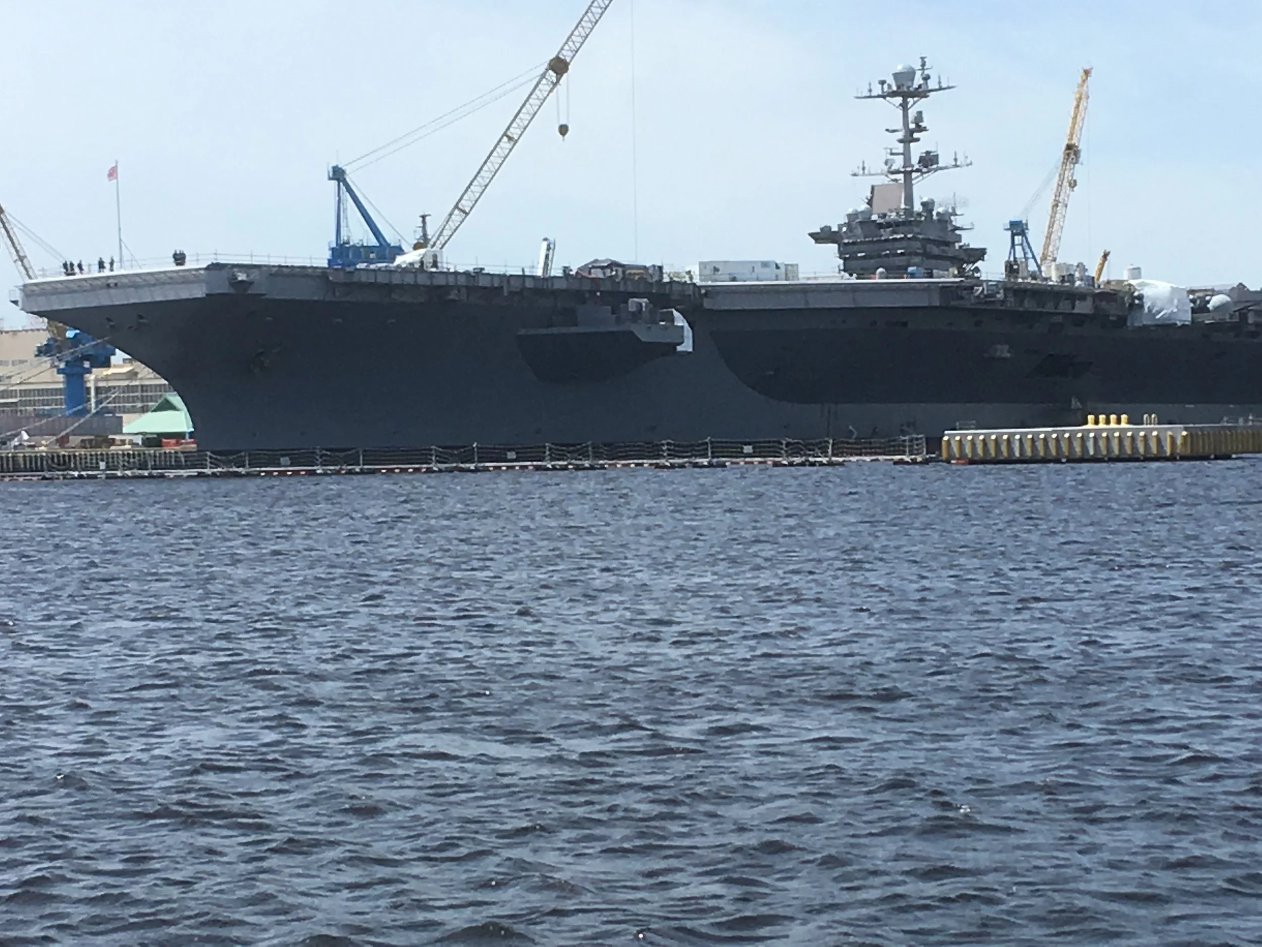
There is a huge Navy shipyard in Norfolk. This appears to be a carrier in for some work.
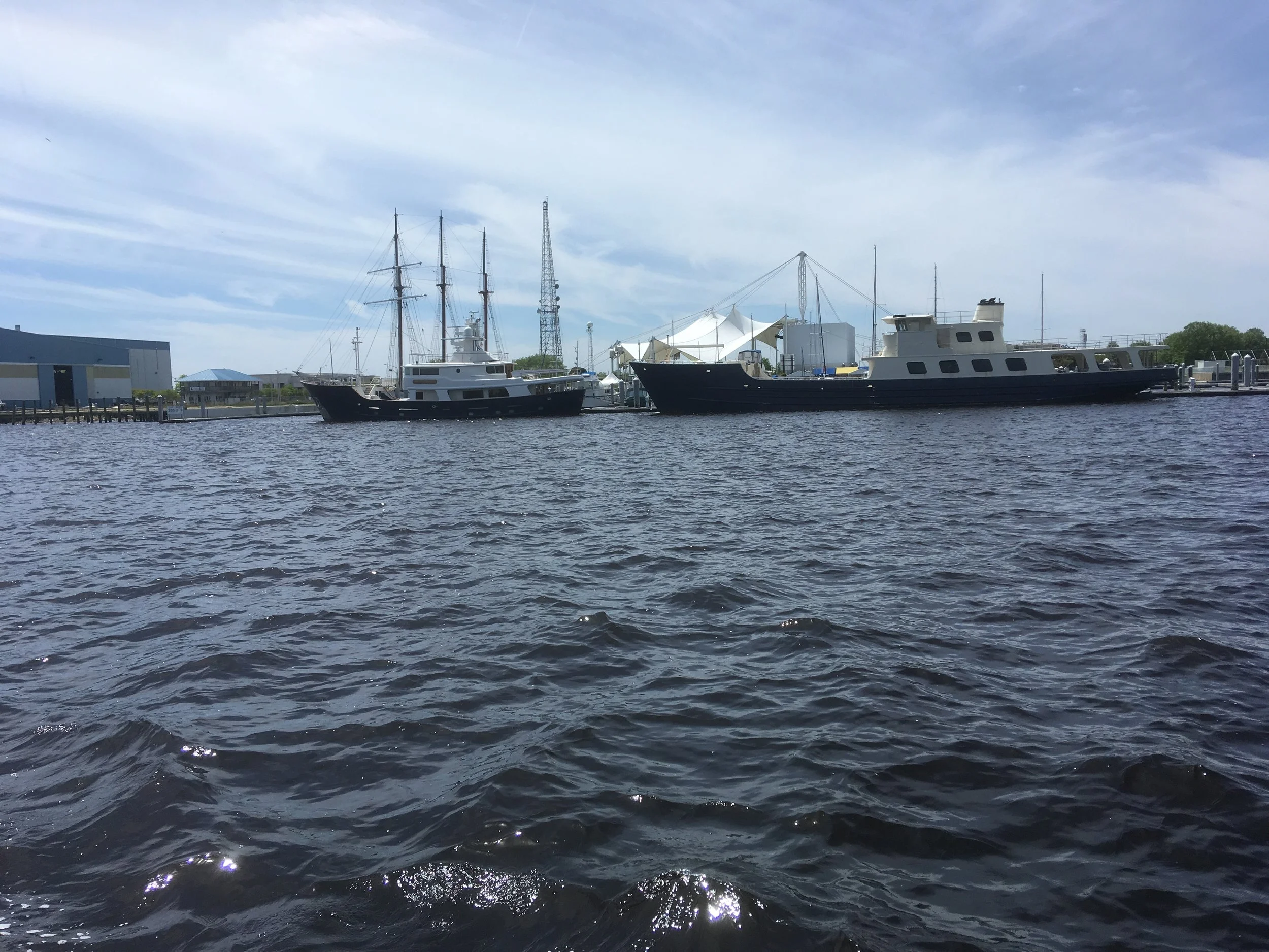
I’m not sure what’s going on here, but it caught my eye.
Here I am anchored near Fort Comfort. That causeway ahead appeared to feed into a tunnel under water. The cars appeared to go out into the water and disappear.
and facing the other direction.
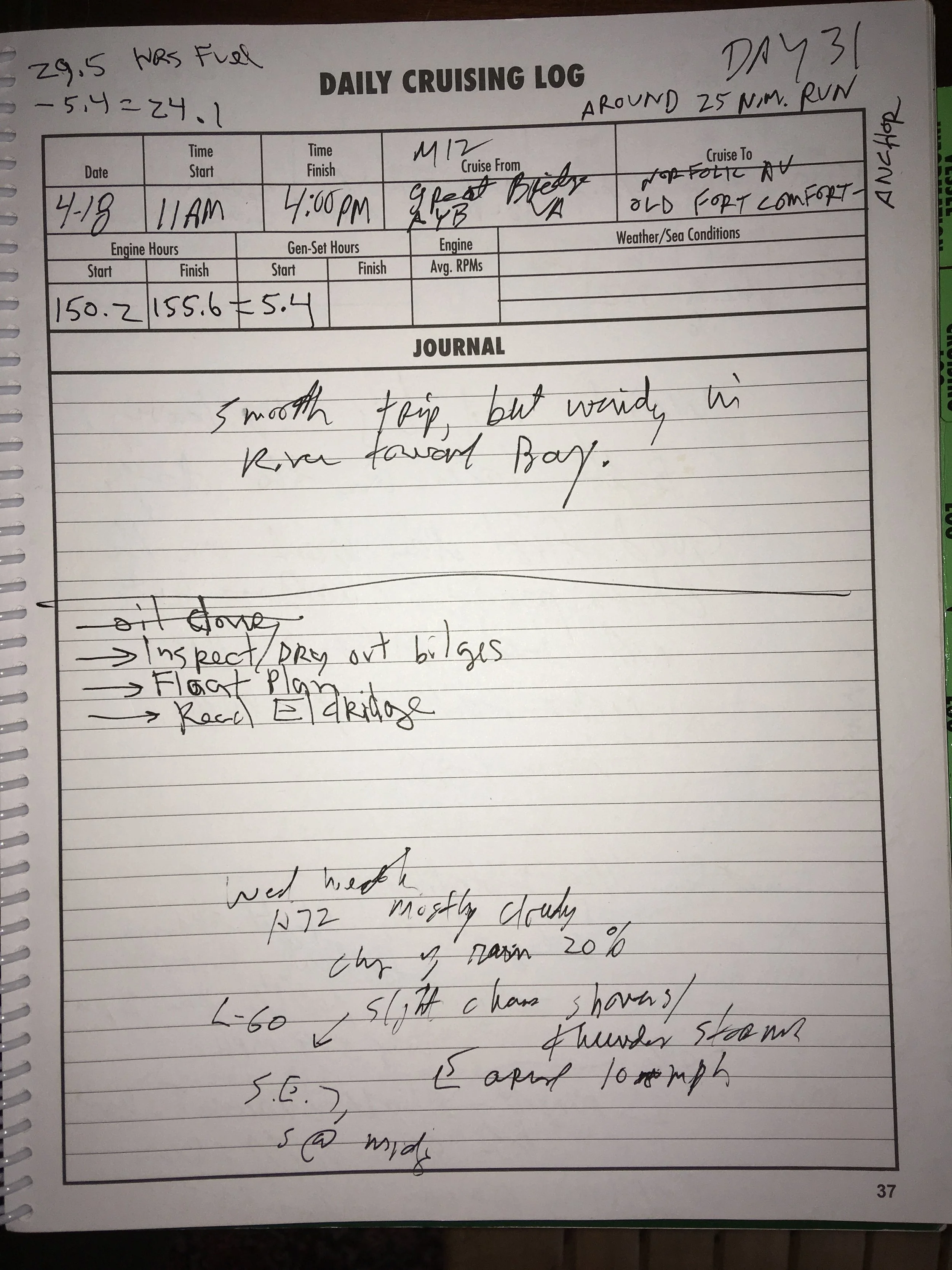
At some point going thru Norfolk, I passed ICW Mile 0. When I entered the ICW from the St John river in Florida, I was near mile 738. I traveled that distance averaging 5 or 6 miles an hour. This was a low-key but significant milestone during the trip.
Time to sail up the Chesepeake Bay. No more magenta line. Time to learn how to plot a course in my chartplotter— I hadn’t needed to till now.
