I kept a ships log during my passage up the eastern seaboard. I’ve never done this before. I’ve sailed small boats all my life, but this was my first significant cruising effort. I went to West Marine and looked at log books. They seemed expensive (of course), so I looked online. But even nice plain bound notebooks were expensive, so I got this one at West Marine for about $20 or $25. It’s called the Evergreen Pacific Log Book, Walker Common Sense Edition.
I was going to refer to the logbook as I selected pictures for the web site, and thought about transcribing some of the details from the log. Then it occurred to me to simply take a picture of each log page and include them in my musings. I have terrible handwriting, and the log is quite informal; but it’s possible, perhaps, to decipher some of it.
So the date arrived that I was ready to leave. I had been anchored for a few days in the Ortega River near the Ortega River Marina and had been helping a friend replace the standing rigging on his boat.
I lost my phone the 2nd day of the trip, so I don’t have any pictures for a couple weeks before this.
Jacksonville is, geographically, one of the largest cities in the United States. The city limit runs west all the way to the coast. There is a nice free dock on Sister’s Creek just north of the St John river. The ICW runs up this creek. The dock is near ICW mile 738.
The Atlantic Intracoastal Waterway starts in Norfolk VA at Mile 0 and runs south through various rivers and estuaries and come constructed canals, and crosses various rivers and bays. But it is generally well protected from the open ocean. Many cruisers use the ICW (or, with affectionate contempt, “the ditch”) for some coastal travel, then go “outside” in the open Atlantic ocean for other stretches. I was traveling by myself and fairly new to cruising and completely new to being a cruising captain, so my plan was to stay inside all the way to Norfolk.
The boat world uses nautical miles. A nautical mile is about 1.15 statue miles (regular miles). The ICW is indexed by statute miles and runs down the coast from Norfolk to somewhere south of Miami FL. This use of statue miles on the ICW creates a little wrinkle in planning passages since the boat’s speed is measuring in knots (nautical miles per hour) and the passage planning tends to use statue miles. ICW chart books show the mile numbers and it’s a useful way to plan and track your progress up and down the waterway.
Also on ICW chartbooks is the “magenta line.” This is literally a magenta line (sort of a pink color) that indicates the path of the ICW.
So I waved goodbye to my friends at Ortega River Marina and headed downstream toward the St John. There is a road causeway across the Ortega river with a drawbridge, so I radioed the bridge tender and requested an opening. My first of many drawbridges on the ICW. Then downstream on the St John into downtown Jacksonville. There is another drawbridge, a railway bridge I think. That is generally open, but closes when there is railway traffic. You can see a note in the log that I was delayed by that bridge for about 35 miles.
I actually missed the left turn onto Sister’s Creek/ICW. But realized my mistake quickly and doubled back. I tried to push out of my mind the idea that this was a rather bad omen for my navigational prowess. I only got off the magenta line one other time, much later in the trip.
You can see some scribbles at the bottom of the log page which were my notes for planning the next days cruise. I tried to identify 2 or 3 destinations, one easy short one, and then one or two further away if I was making good progress. Recreational boats are strongly discouraged from traveling in the ICW at night, and I was careful not to get in a position that I needed to do that.
I got an early start and I was, at last, cruising north on the ICW. A couple hours into the day I finally got around to bringing in my fenders in. I had my iPhone in a holster on my belt. This case/holster was quite secure and I had used one like it for years. I am not even sure exactly what happened. As I stooped down to pull up the fender, I felt a little tug on my belt and got a slightly sinking feeling in my stomach. A few minutes later I reached for my phone and it was gone. I looked around for it, but it seems that when I stooped down, the lifeline got between my pants and the phone/holster and lifted the phone off my belt. I never saw or heard the phone go overboard, but I presume it did.
This was a significant setback. My cell phone was an important communications and navigation device for me. I had the Garmin Bluechart iPhone app and chart installed, so the phone was a backup for my chartplotter. I also had a safety protocol with a friend who was tracking my progress and expected me to check in at least once a day.
Fernandena Beach was the first town of any size I got to after losing the phone, so I anchored there and got my dinghy inflated and rowed across to a marina. They provided a dinghy dock for a fee, I think $5 or $10. Fortunately I did have the presence of mind to write down various phone numbers on index cards that I kept in the galley drawer. So I called my friend and let her know what had happened. Another bit of good fortune was that there was a Verizon Wireless store in town which had just opened a few months before. It was quite hike to get there, but I bought a new phone and they were able to restore my latest backup.
I got back to the boat tired but glad to have recovered quickly from this setback. I was worn out and stayed where I was for the night.
So there I am. It’s cold, so I’m pretty bundled up. I left earlier than most cruisers do. I was eager to start the trip. And I knew I’d make gradual progress. And I knew I could handle the cold based on some trips I had done during 2016.
You can see my autopilot connected to the tiller. I used that A LOT. That gray thing to the left, under the stern rail, is a cover over a small (10 lb) propane tank (stove).
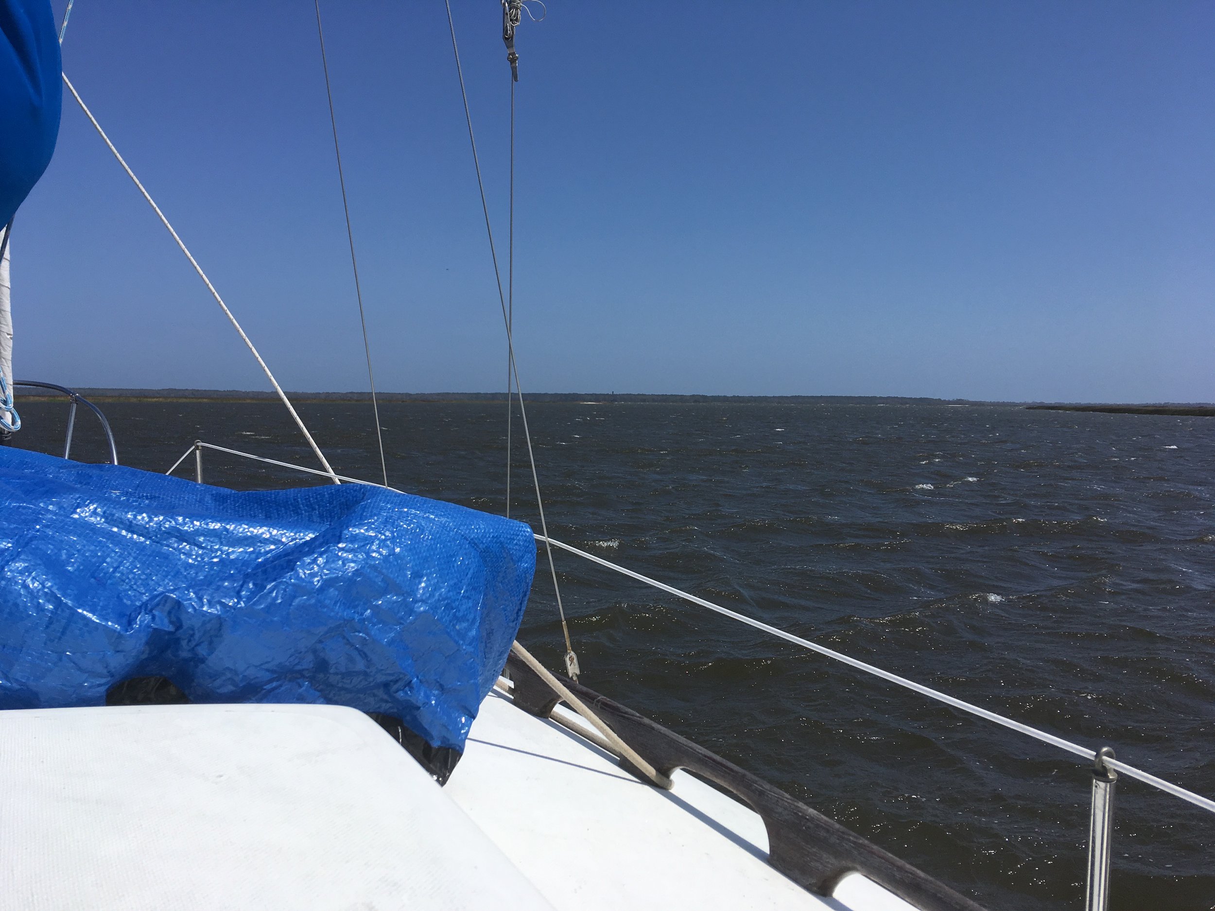
Sailing! The ICW is mostly a power cruise, but once in a while, possibilities to sail open up. Especially since I’m single-handling, I need a fair amount of space to maneuver to raise and lower sails. The waterway also tends to meander around, so your point of sail is often changing. This was a nice stretch and it was great to get the sails up, even if not for too long.
Sunset on the 3rd day. At anchor in Wally leg, mile 665.5 Nice.
You can see a reference in the log to ActiveCaptain. This is something I learned about at the marina, and from my friend Fran, who I sailed with in the fall of 2016. This is (was) an application and system you could join for free, and had a web site, and also integrated with the Garmin BlueChart software for iPhones and iPads.
ActiveCaptain members could add reviews of marked anchorages, marinas and other facilities, and you could view the reviews. Members could also create danger indicators that would appear as a certain type of marker on the chart (this is a chart on the iPhone/iPad), and you could select a marker and read the member’s remark about the danger, and any subsequent comments from other members regarding the danger. There was also lots of information about marinas and other facilities; indication of bridge heights; channels used to contact drawbridges, and various details about bridge operations; just lots and lots of useful information. Before ActiveCaptain, some of that info would be in cruising guides— books you can purchase. I depended on ActiveCaptain a lot during my trip.
There was an ActiveCaptain section within the Garmin Bluechart application. In this section there is an option for updating the data in your instance of the app, and also configuring various aspects of the ActiveCaptain add-on.
Last summer (2019) I tried to update my instance of ActiveCaptain and it was unable to connect. I did some research and learned that Garmin had acquired ActiveCaptain and made significant changes to it. I got bogged down trying to understand exactly what happened, but according the headlines in my Google search, Garmin “killed” ActiveCaptain. What a shame. It was tremendously useful for me. I still have my instance on my iPhone, and still refer to it. But of course it’s not getting updated.
My boat had the usual “settee,” which is a table and seats, and the table drops down to seat height to make a berth. My settee was really uncomfortable for me to sit in when set up in the table/seat configuration. The seat backs too straight and high and too close to the table. And the table was too high. When I sat there I felt like I was being punished for some transgression. So I left the table dropped all the time and lived and slept here, prepared food here. You can see that the aesthetics of my boat’s interior were not high on the priorities, though I have done some improvements since this was taken.
Here is the starboard side of the boat, showing hanging locker and galley.
This small cruise ship looked out of place. There didn’t appear to be any paying passengers, so I’m guessing this was a delivery or some sort of practice run.
Right around the time I passed this ship, I heard an alarm sounding on the boat. I thought it might be my engine, but it wasn’t. I looked and looked, trying to find the source of the alarm sound, and finally realized it was coming from my handheld marine VHF radio. It turns out that once a week the marine weather service that broadcasts on VHF radio channels does a test of their weather alert signal, and that is what I was hearing. I think I needed to press something to clear the alert.
A small cruiser passes me on the starboard side. I was pretty much the slowest vessel on the ICW almost all the time.
Day 5. This was a weather hold day. I checked the weather forecast often and if winds more than 15-18 were predicted I would stay put. Or if there was a substantial chance of significant rain. So I made myself a “to do” list to keep myself occupied for the day.
It doesn’t look like much in this picture, but it did blow hard all day, and I was happy to be safely anchored.
Killkenny Creek was a nice anchorage. Lots of space and good holding. I read in ActiveCaptain that big shrimp boats use this area to go in and out from their moorings, often at night, and it was important to have a deck level anchor light in addition to a masthead anchor light. They might not look up and notice the masthead light. I had never heard of such a thing, and managed to improvise something that worked for a while, but got blown to pieces overnight. Later in the trip I bought a portable anchor light that plugs into the cigarette lighter plug. I figured it would be useful for situations like this, and also a backup for my masthead anchor light.
When I left the next day I had a very hard time getting my anchor up. All that wind and the muddy bottom didn’t want to let it go.
I got fuel for the first time during the trip, and that went pretty smoothly. I see a reference to Hell Gate in the log, and I don’t remember it at all. There were probably warnings about it in ActiveCaptain.
I wanted to visit a good friend’s daughter in Savannah GA. You need to go several miles up a river from the ICW to get there. I was going to take the boat up there, but I read some ActiveCaptain reviews about problems staying at the public docks and got scared off. But there was a nice marina right on the ICW that is only a 15 minute drive. So I left the boat there and visited my friend’s daughter and her fiance for the day and had a nice night on shore in a real bed. Savanna is an old and culturally rich city.
Nice sunrise on my up to the marina near Savanna
My young friend Rebekah. I had only met her once before, so there were some apprehensions about on both sides about the visit, but Rebekah and her fiance Jared were so relaxed and fun. We had a wonderful visit. Savanna is a beautiful and interesting city.
Leisurely start to the day, so a short travel day.
This is still at Isle of Hope marina. My friend Mark in California has one of these boats, a Bavaria 44. Made in Germany. Actually, above is a 46, but looks very similar.
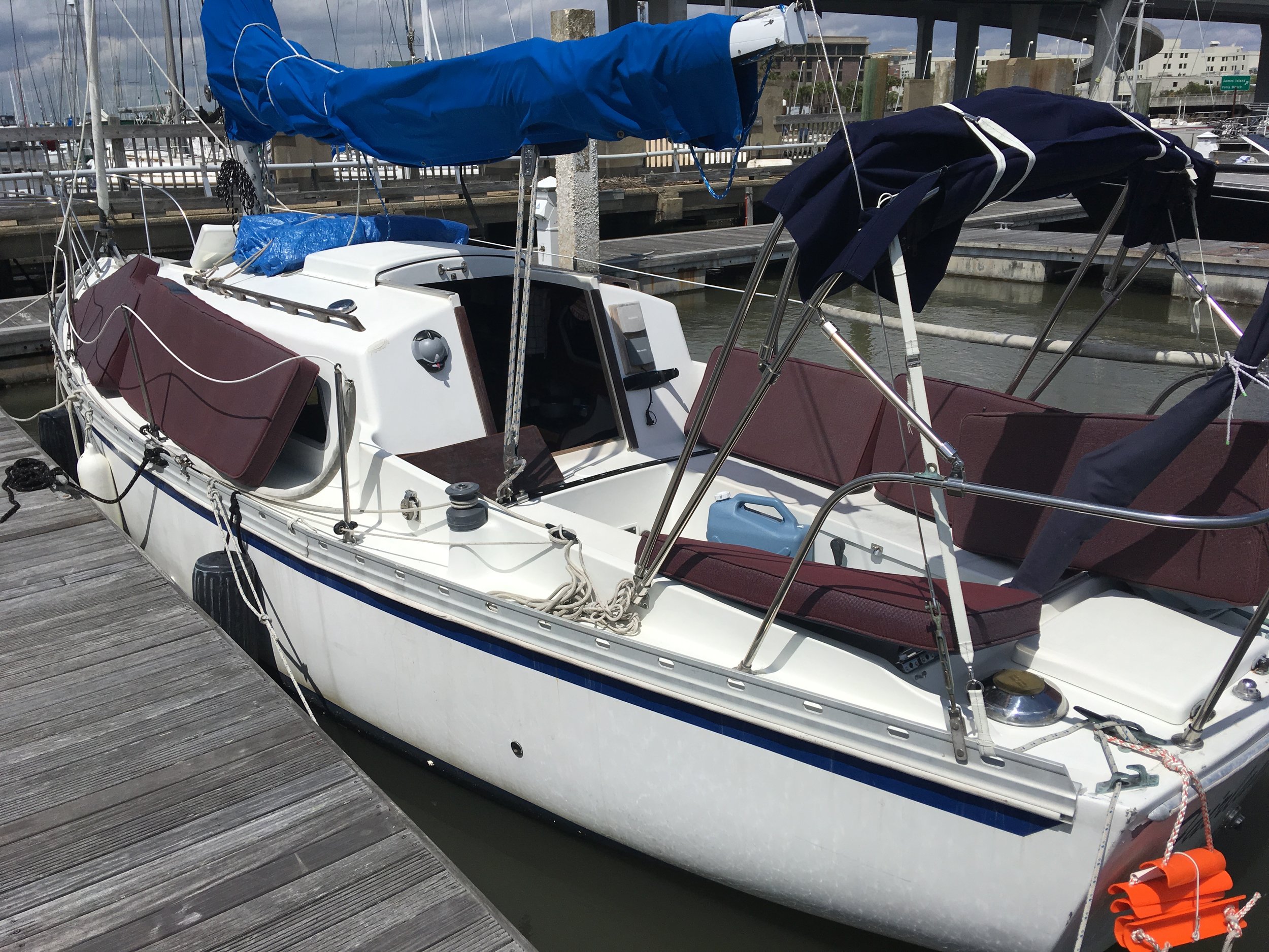
My boat tied up at Isle of Hope marina. That orange thing draped over the transom is a boarding ladder. It’s tied closed with shock cord. My thought was that, if I fell overboard and could swim back to the boat, I’d have a chance of being able climb on board and not drown. Eventually I got sick of looking at it and stowed it.
Approaching a drawbridge. There are tons of drawbridges along the ICW. Fixed bridges are typically 65 feet high or higher, and that pretty much determines how big a sailboat can use the ICW. Also draft is an issue. The design depth of the ICW is, like, 8 or 10 feet, but the reality is that some portions are shallower. My boat draws 4’-9” and early in the trip I had 6 inches of water under my keel at one point.
Some draws open on a fixed schedule, but many open on demand. The protocol is to contact the bridge tender via marine VHF radio. The channel varies by state, but it’s usually ch 9 or 13. You say your vessel’s name and which direction you’re going and request an opening. The first time I did this, down in Florida for the Ortega River bridge, the bridge tender referred to me as “captain” and I must admit it gave me a thrill.
Above: It’s sobering to see a boat aground like this.
Here I am at the end of the day, tied up at Daufuskie Landing, mile 570. I don’t remember anything about this spot, but it looks like a nice dock.
Day 9. Here are some pictures:
Sailing again…yay!!!
Nice!
I loved this tugboat. Such character. It looks like an illustration from a children’s book or something.
My friend Fran taught me this trick. She had a nice big boat with a gimbaled stove, but she didn’t like it swaying around and always kept it locked down. Instead she would tie the pots on with a piece of soft copper wire. It works great!
Here’s Fairlady tied up at the Beaufort public day use dock. I moved to a mooring for the night. $20 and I was able to shower on shore.
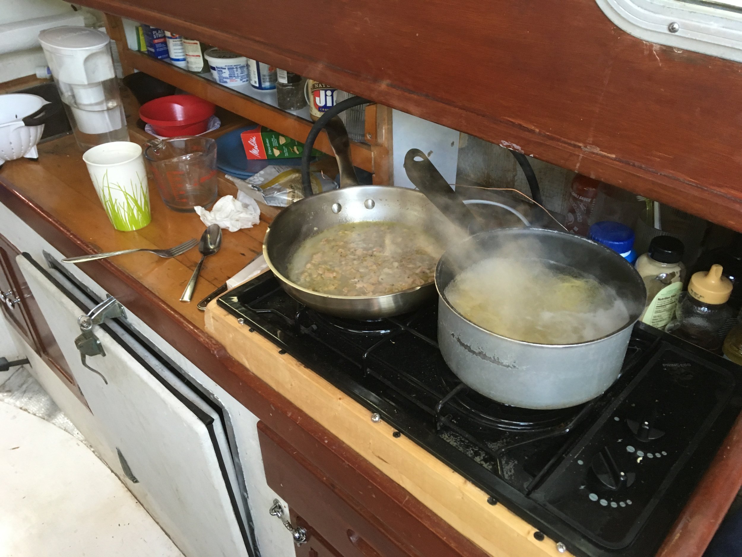
Cooking dinner. Looks like clam spaghetti.
Treated myself to breakfast on shore. These chairs remind me of ones my family bought when I was a kid. We got them from a factory down south somewhere (we were in NJ then). They were unfinished and there was a big family project painting DEFT on them. I also like the black and white tile floor here. Beaufort is a nice stop!
Ladies Island swing bridge, right next to Beaufort.
and looking back after clearing Ladies Island swing
More sailing!
When piloting the ICW, it’s really important to stay out of the way of these big commercial vessels. I was talking with my friend Stewart at Ortega River marina, talking about safety and boating dangers. He said he knew two people who were killed in boating accidents. One was a guy cruising the ICW. He was anchored too close the channel and had a marginal anchor light. During the night he swung into the traffic channel and got run over by a big tow like this. The other person was trying to come into an inlet from open water in bad weather. This is a classic danger point for all mariners. They got out of shape, grounded out and foundered. The guy left the boat and tried to get to shore and drowned. They recovered the boat, so he would probably have lived if he'd followed the adage “stay with the boat.”
So this is sunrise at Watts Cut anchorage.
Still in the morning, near Watts Cut. A calm morning indeed. This was a very pretty section of the ICW.
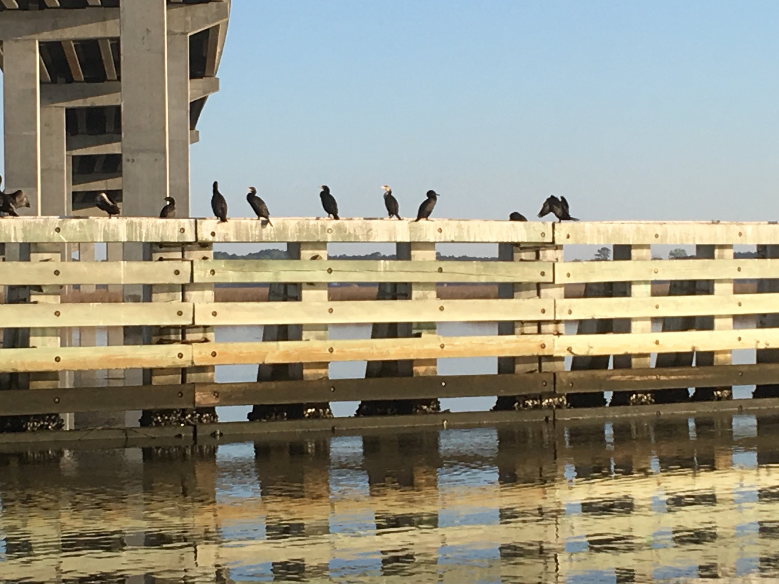
A substantial bulwark to keep boats off this big highway bridge.
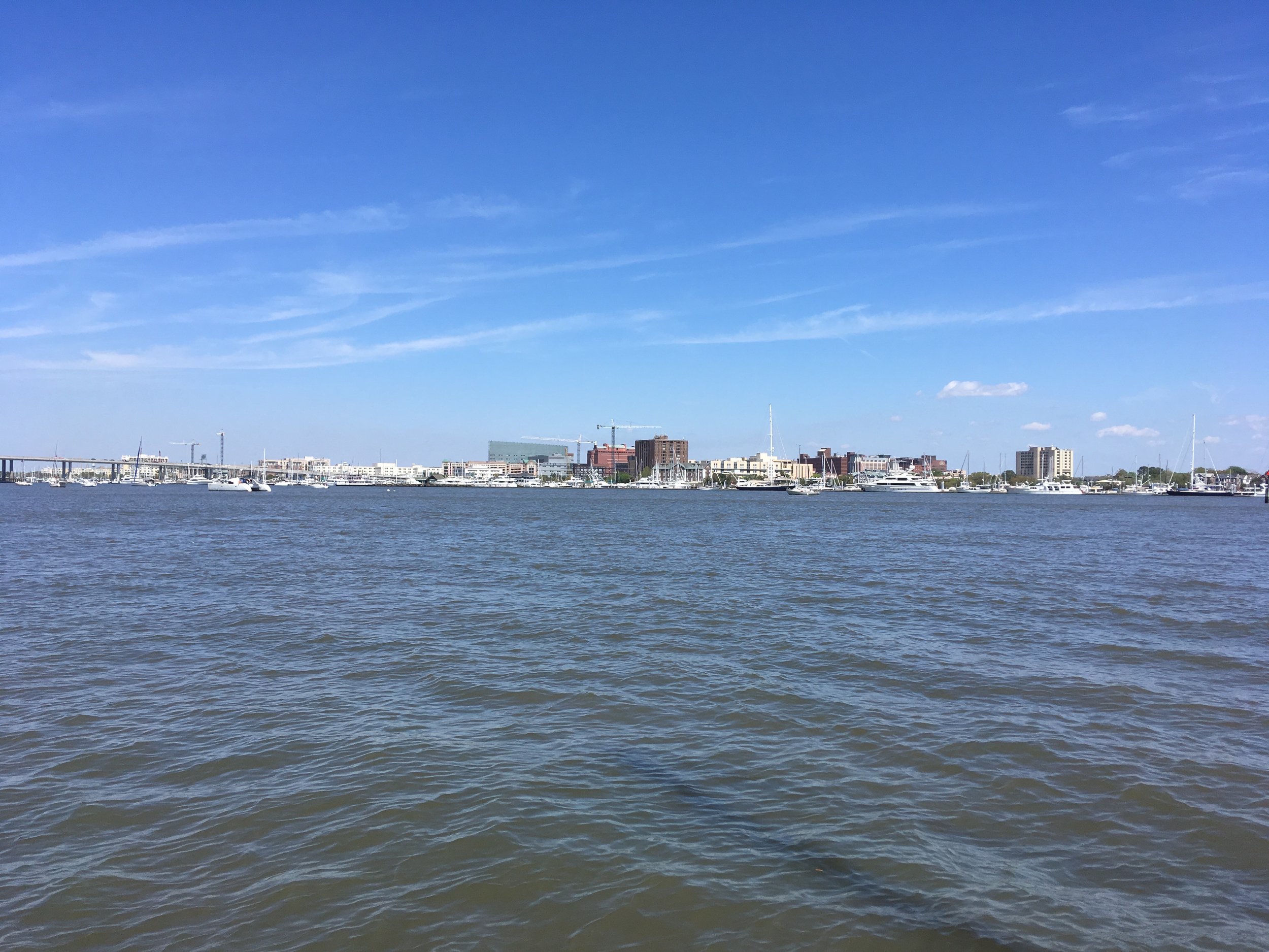
Charleston SC. Man, this really felt like the big city after the area I’d sailed through for the past week and a half. I planned to anchor out here in a marked anchorage, but it seemed too exposed so I decided to spring for a slip at a marina. My friend Ed had suggested an anchorage, but it seemed much too small to me.
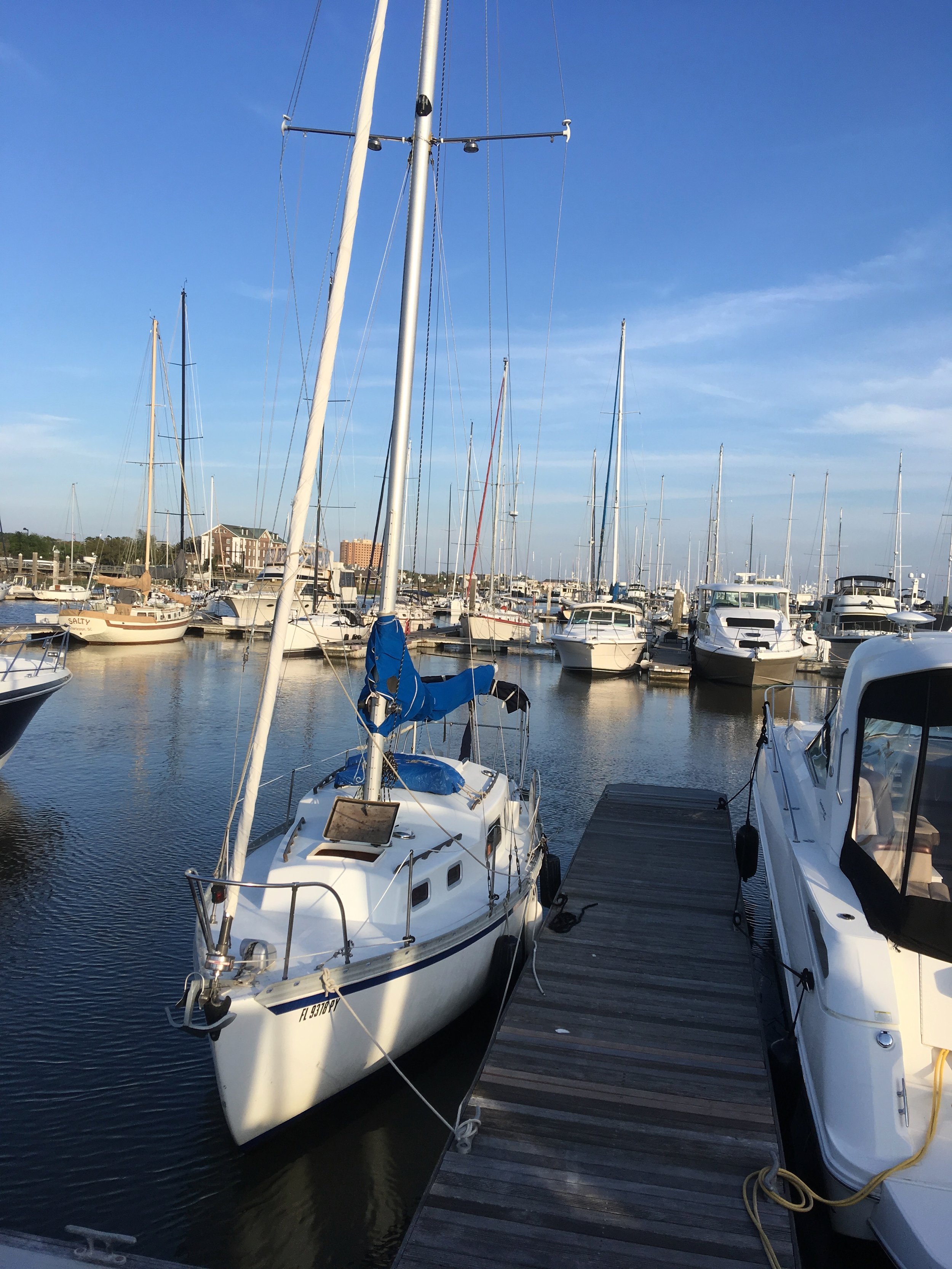
Here’s my slip at Charleston City Marina. I arrived in Charleston Wednesday Mar 29 and had arranged to meet my sweetheart there for the weekend. I stayed at the city marina Thursday and Friday, and moved to the Charleston Harbor Marina, right next to a really nice resort where we were going to spend the weekend.
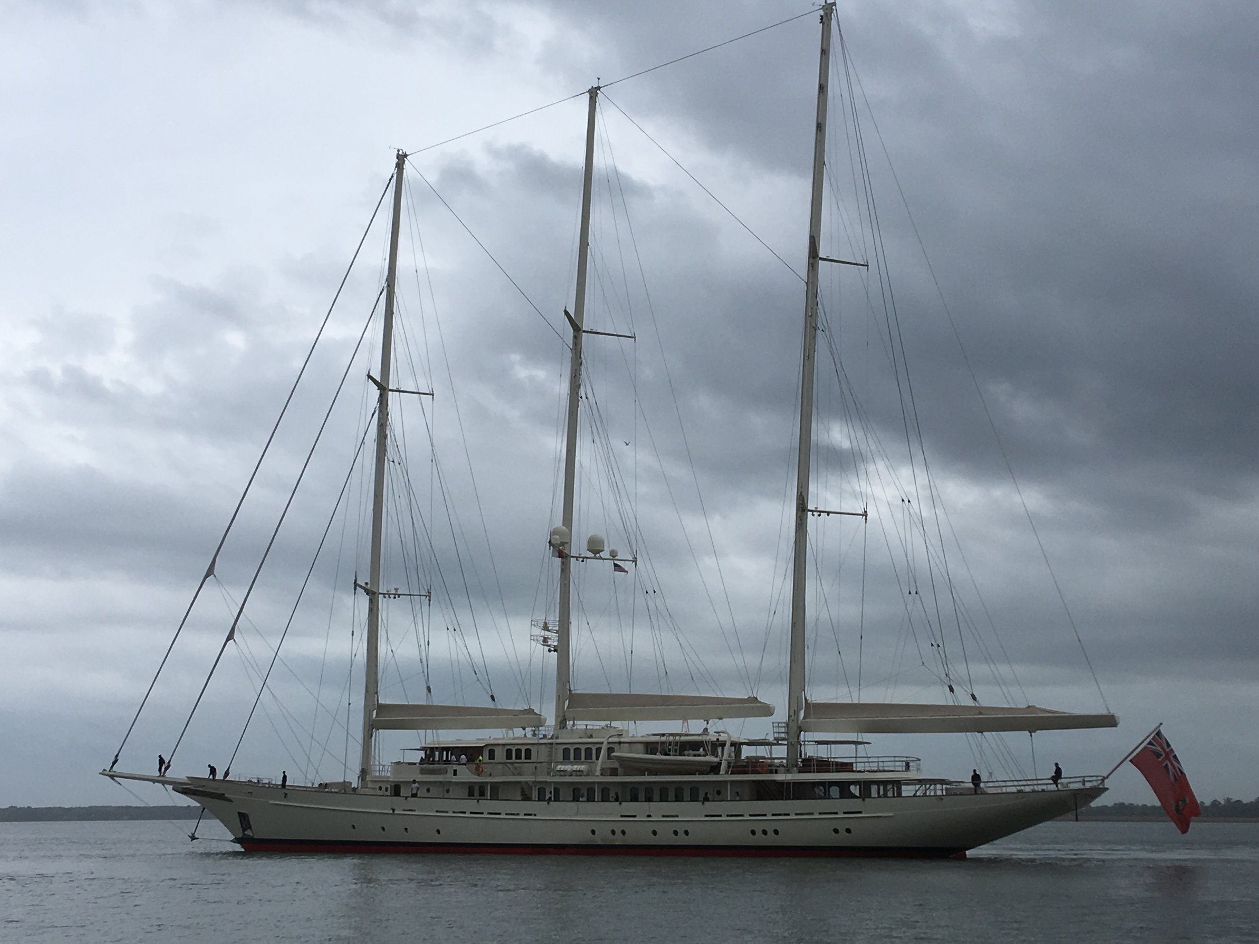
This big thing showed up the day after I arrived in Charleston. It’s one of the largest privately owned sailboats in the world, owned to a British software guy. It was quite a sight.
This thing was quite impressive.
I took advantage of my extra time in Charleston to do some heavy cleaning.
Nice sunrise at the City marina.


