The last leg of the trip!
Mild temperatures and light rain the morning I left Haddam and headed down the Connecticut River . I guess the rain inhibited picture-taking since it seems I don’t have any. I had a quick trip down to the sound, having both the river currrent and the tidal current moving me along. It took quite a bit longer coming upstream.
I read somewhere that the traditional “Nor’easter” rain hat was better than the hood of foul weather gear since you could turn you head without encumbrance and have better peripheral vision. Not sure I’m sold on it, but it did work pretty well. It did make me feel a little self-conscious, but I got over it.
Chomping east on the sound, heading for Noank.
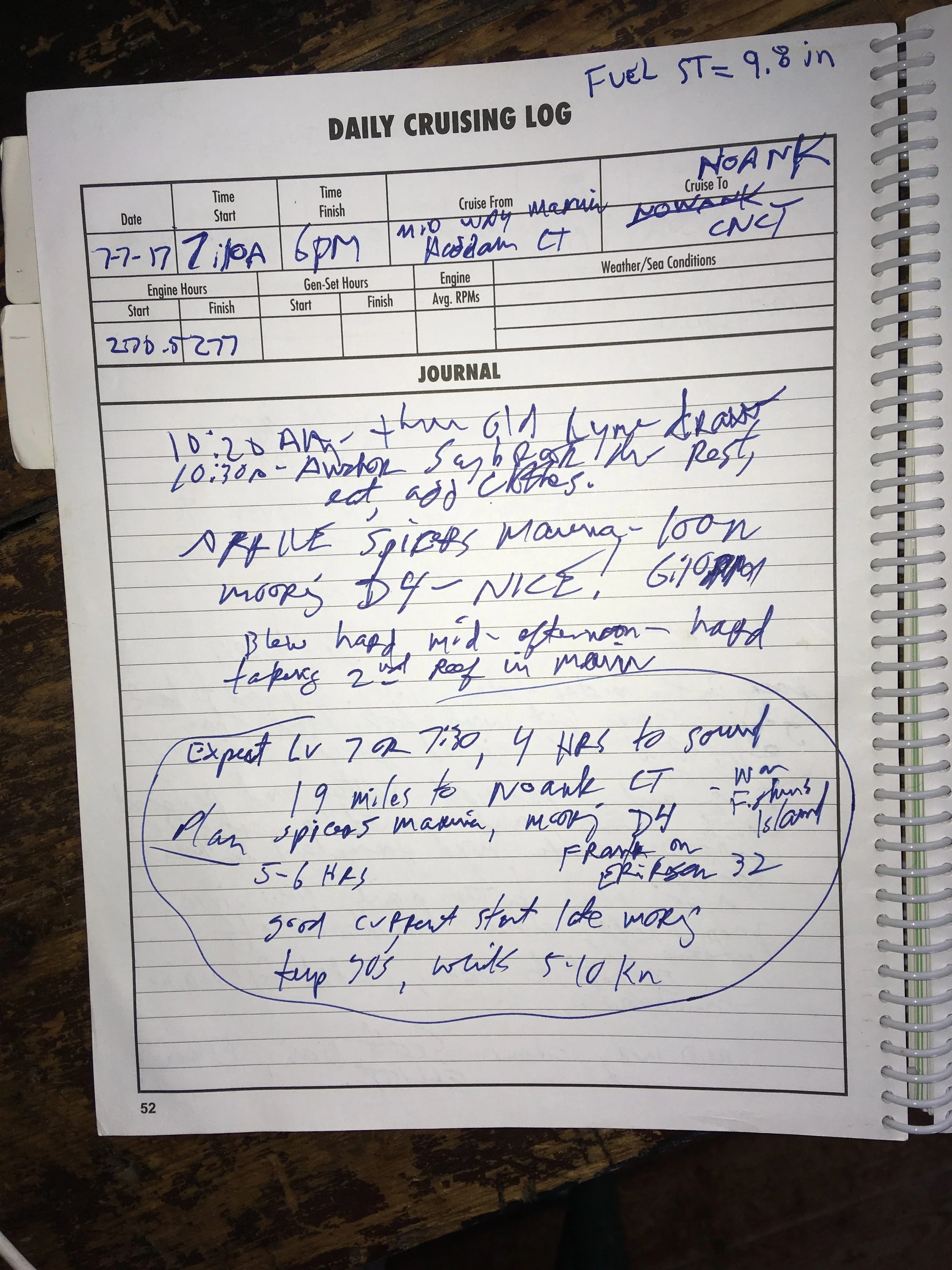
While I was at Mid-way Marina I got to talking with a guy. He was hauling his boat early, and when he learned I was heading east on the sound he told me if I ended up in Noank, to go to Spicer’s Marina and use his mooring, D-4. Amazingly, I remembered this and did indeed spend the night on Frank’s mooring. I left him a note written on white duct tape stuck to his mooring pennant, “Thanks for the mooring Frank, Rob Feeney, Mid-way Marina.”
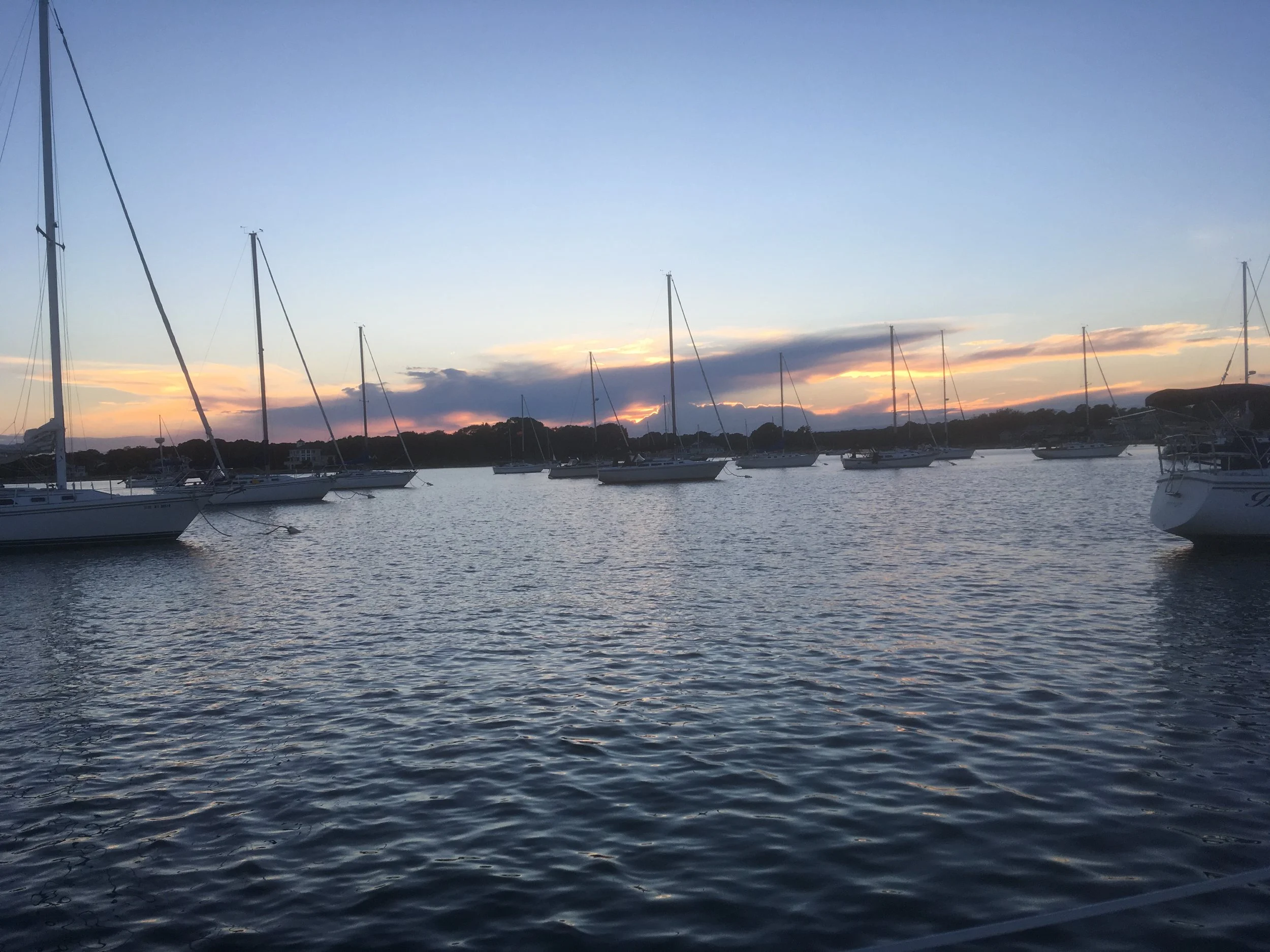
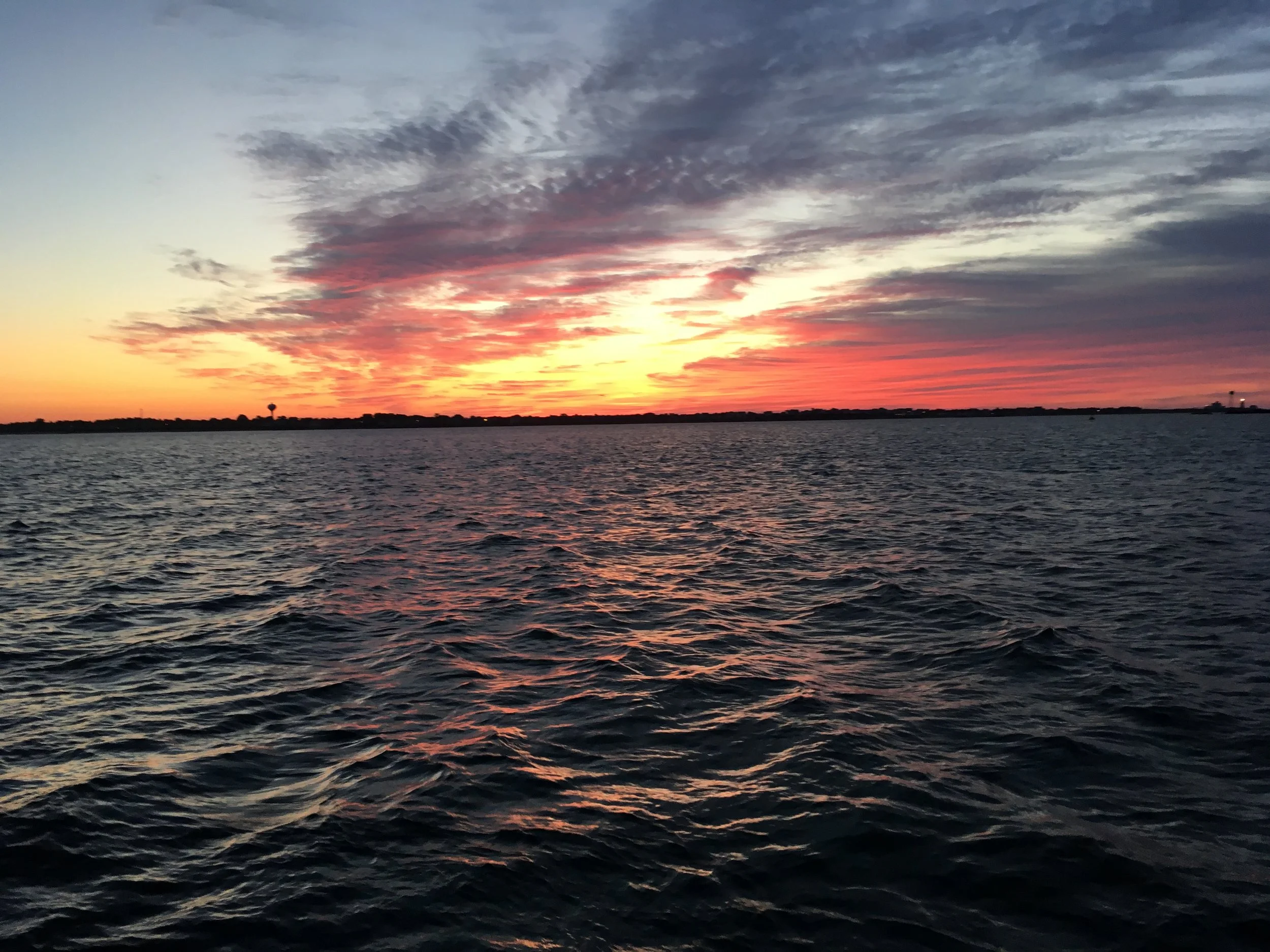
Sunset in Noank.
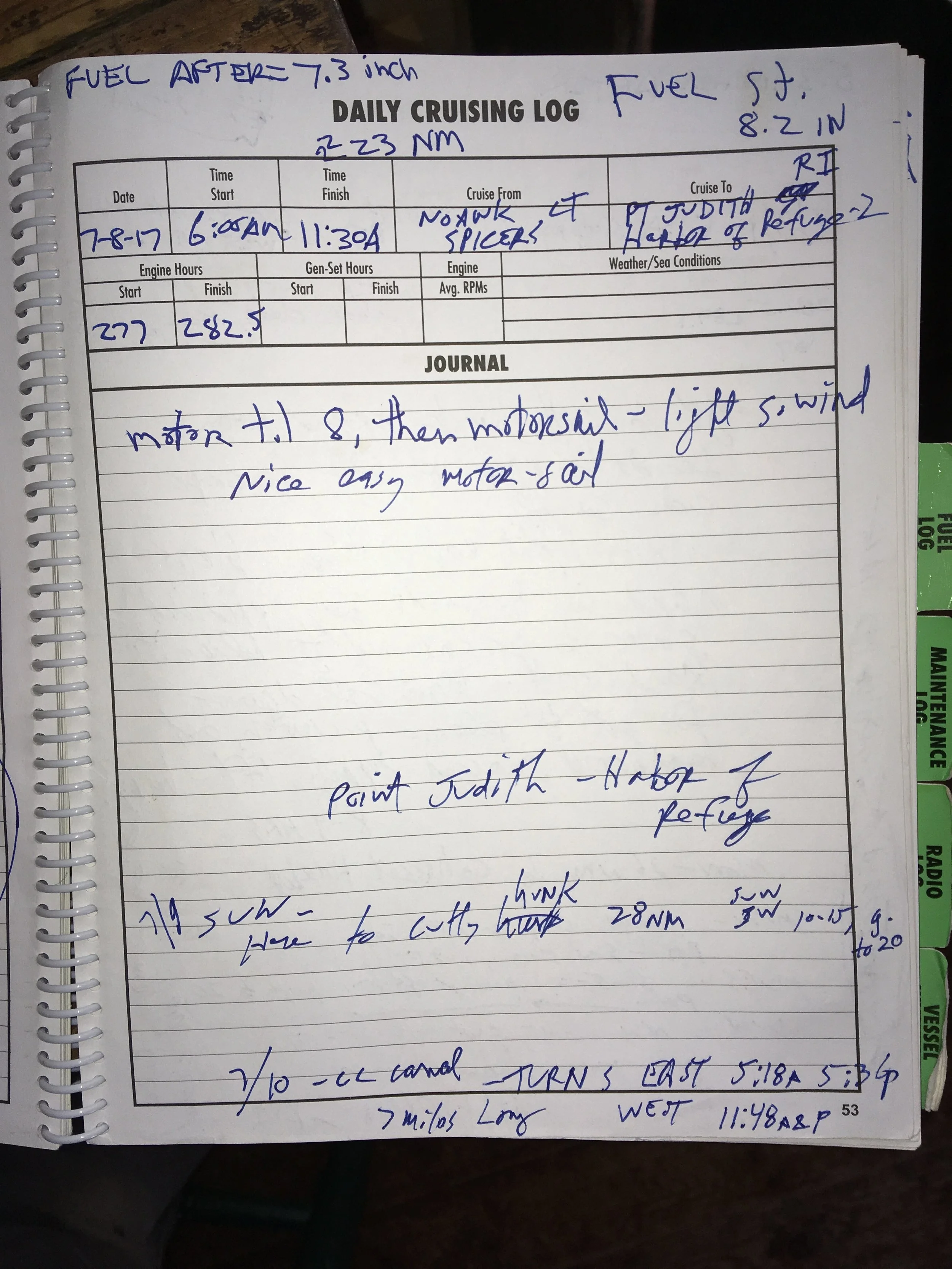
Early start. Just a little after 6am, heading back out to the sound.
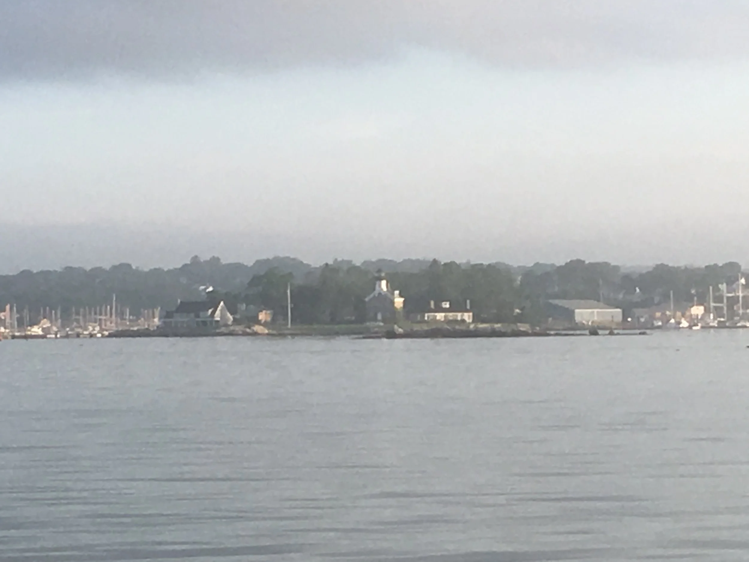
Leaving Noank.
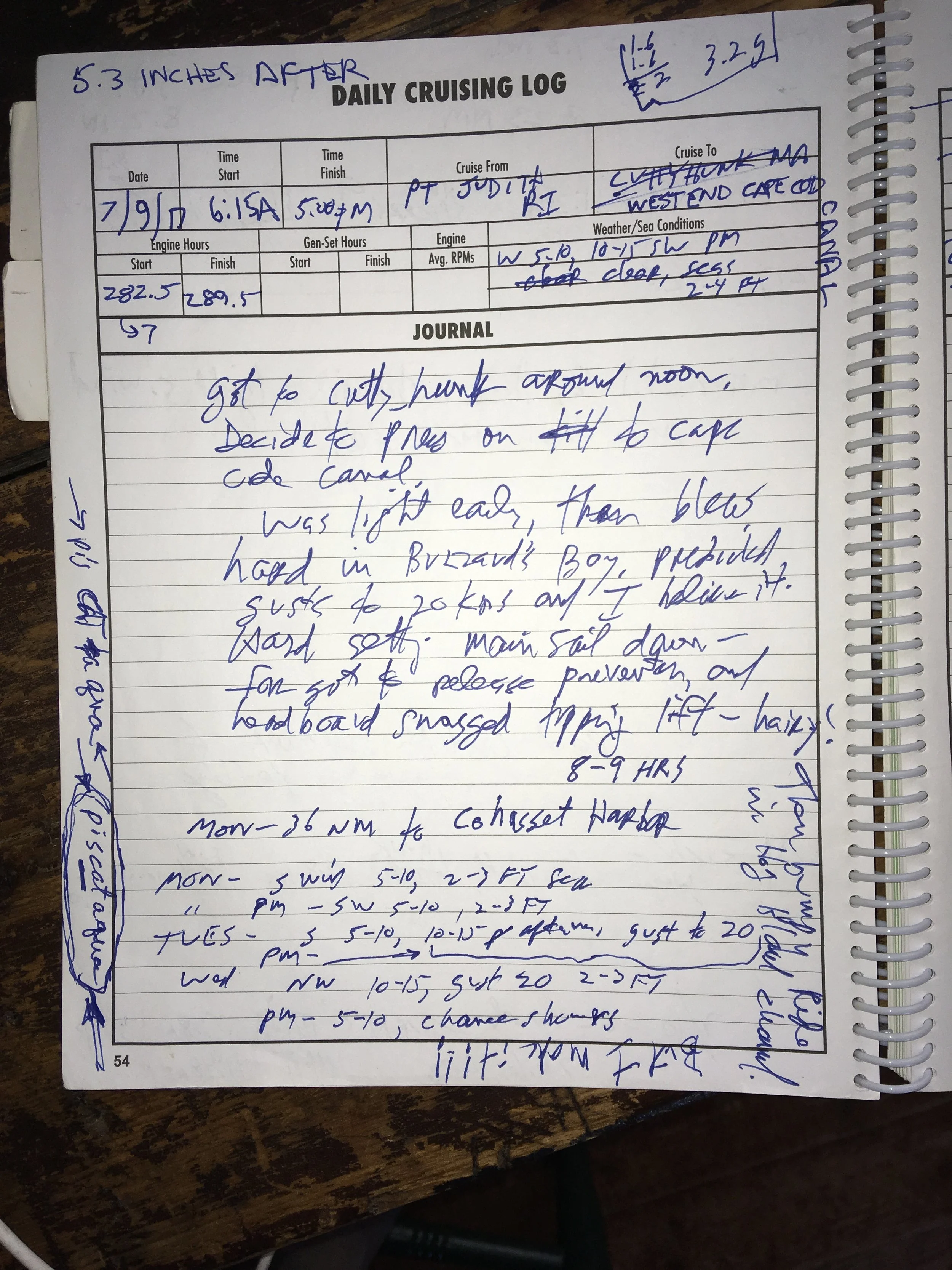
Short day. At anchor Pt Judith Harbor of Refuge-2.
This was a weird place, but a nice roomy and comfortable anchorage. It’s a great big rectangle created by several jetties. There must be a story behind it, but I don’t know what it is.
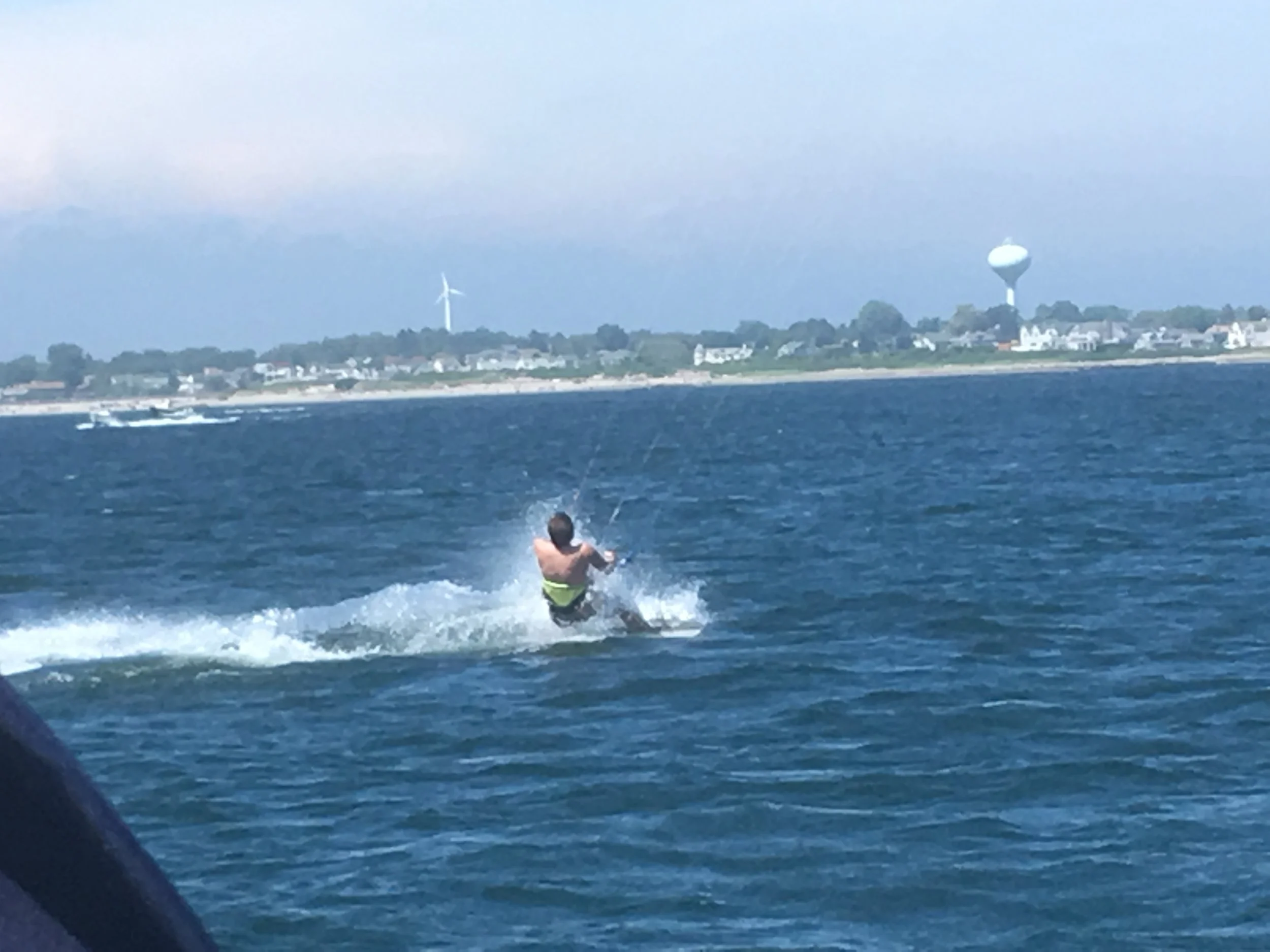
A kite surfer putting on a little show for me.
The first time I saw somebody kite surfing I was sailing on San Francisco Bay. I was around 50 at the time, and I said, it looks like fun, but a sport for a young people. The kite surfer ended by passing near us and the guy looked like he was in in 70’s. Damn.
Sunset.
This was a beautiful and productive day, but got quite harrowing at the end.
I was near the east end of Long Island Sound, about to head up Buzzards Bay to the west entrance of the Cape Cod Canal. I planned to anchor that night at Cuttyhunk Island. It looked like a nice spot, and would be a short day.
There was a good breeze and I got to Cuttyhunk around mid-day. The inside anchorage looked crowed, and the outside anchored looked exposed, and it was early. So I decided to press on up Buzzards Bay.
This was the most exhilarating day of sailing on the trip. I was on a dead run heading up the bay, and the wind strength grew steadily through the afternoon. I rigged a temporary preventer for my mainsail. This is basically just a line tied to the middle of the boom and brought forward and tied up near the bow. Then if I jibe accidently, the line would hold the sail and keep it from blowing across the boat. An accidental jibe in high wind could kill somebody if the boom hit them, and the force generated by the sail blowing across the boat could knock the mast down.
Since I was running dead downwind, I had to be very careful steering the boat. If my course strayed any further off the wind I was in danger of jibing. But to keep my line toward the entrance of the canal, I needed to stay off the wind as far as I dared. But I was having fun, and it was a beautiful day, clear and sunny and not too cold. There were lots of other sailboats enjoying the day.
I get to the north end of the bay, and it’s time start my engine and get the main down. I start the engine and turn the boat into the wind, and I can’t get the bow to turn up. Weird. I thought maybe the wind was so strong the engine wasn’t able to push the bow into the wind. I came up as far as I could and tried dropping the main. It was blowing hard by now, and I’m a couple hundred yards from the shore. There was a big chop and the boat was bouncing and rolling heavily. The main snagged on something and I couldn’t get it down.
At this point I was fairly panicked, and don’t remember exactly what happened next. I think it was at the point that I realized I hadn’t cast off my preventer. I didn’t set one very often, and completely forgot I had done so. After removing the preventer I was able to get the boat into the wind and get the main down. But I was shook up.
So I start motoring toward the entrance to the canal. There is a long dredged channel to get in, some of it with jetties on each side. Since I hadn’t planned to be here, I hadn’t checked the tides and currents. It so happened there was a strong foul current. A strong wind was working against the current and kicking up large standing waves along this narrow channel. So I was pitching up and down like crazy, and at full throttle I was crawling forward. It seems like it took forever to get up this channel and into more sheltered water.
But wait, there’s more! There were free moorings available that were part of a maritime school. I spotted one of them and headed over to tie up. The wind was still blowing like snot and I tried 4 or 5 times to power up into the wind and get my bow near the mooring pennant, then run up to the bow and snag the pennant with my boathook. But the wind was blowing my bow off before I got halfway up there. I took a deep breath and put my thinking cap on. How the hell was I going to get secured to this mooring? I hatched a plan.
I powered up next to the mooring so it was back near the cockpit. I snagged the pennant and got in secured before the wind blew me off. I laid out a piece of stout line and secured it to my bow cleat, lead it forward out around the forestay, back along the side of the boat adjacent to the mooring, being sure to come outside the shrouds, and secured the other end to the pennant. Then I struggled to cast off the pennant from where I’d secured it back at the cockpit, and the boat swung down behind the mooring, secured by the stout line. Then I was able to power up into the wind and secure the pennant directly to the bow cleat.
By then I was one beat sailor boy.
I made a number of mistakes and errors in judgement that day. The first was to press on instead of sticking with my original plan. The second was that, as the wind got stronger, I should have reefed. “Reef early and often,” the adage goes. But in reality lots of sailors don’t reef their mainsails at all. But I didn’t even think of it— I was having too much fun tearing up the bay, not anticipating how hard it would be getting the main down in that blow. The third mistake was forgetting to remove my preventer before coming up into the wind and lowering my mainsail. A forth mistake is not anticipating I might want to travel further, and to understand ahead of time what was waiting for me at the head of the bay. It seems like I should have learned my lesson after the problems I had after completing the Pungo River-Alligator River Canal.
I am pleased with my solution for picking up the mooring under difficult circumstances. And in spite of all those mistakes, I got through the day safely and with no damage to the boat.
Sunrise, a little after 5am.
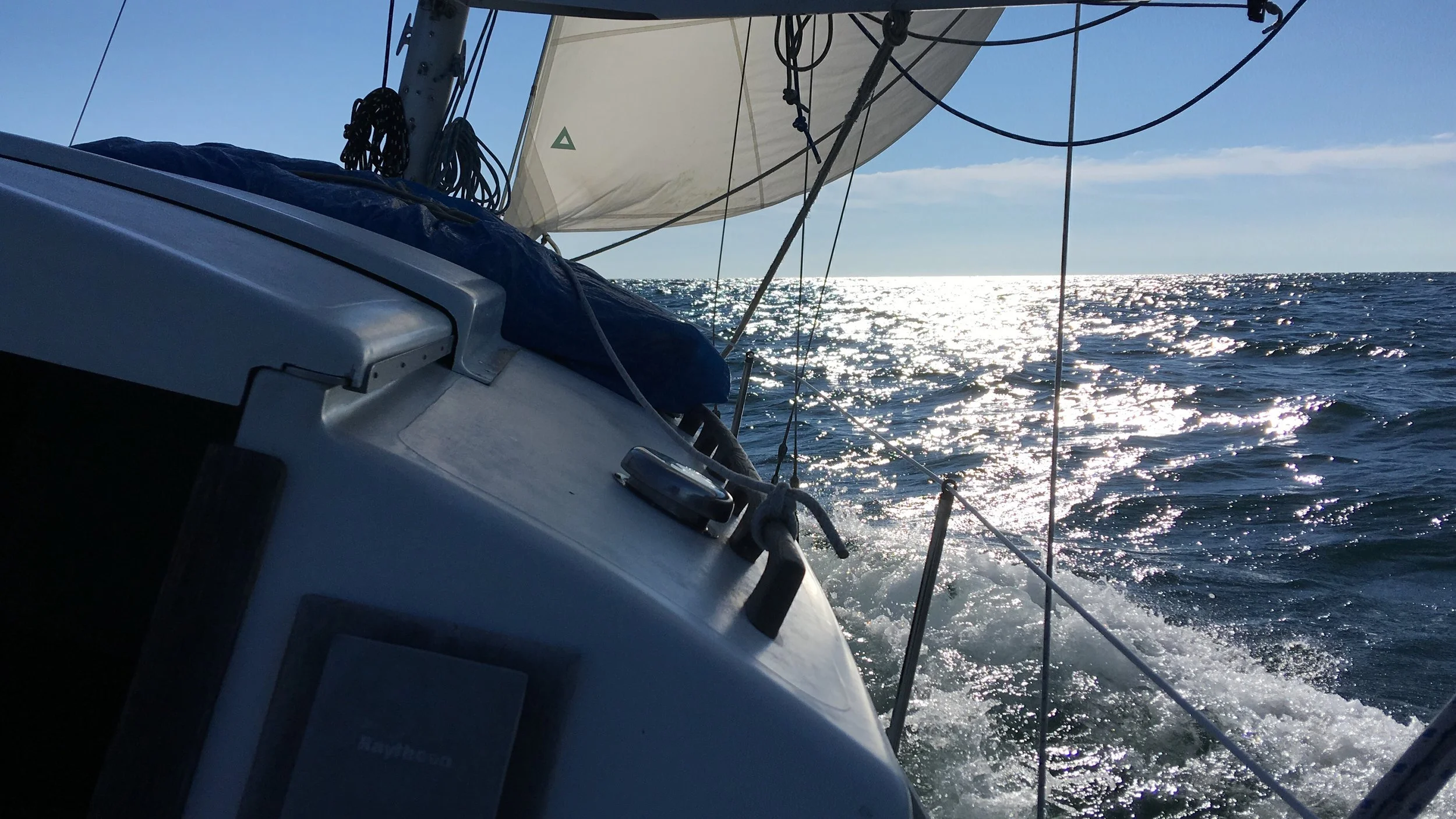
Around 8am, chopping along on what looks like a beam reach. This is heading toward Buzzards Bay, I think.
Here’s Cuttyhunk Island.
I must have taken this before the wind got blowing too hard. On the dead run heading up Buzzards Bay.
The view from my mooring at the west end of the Cape Cod Canal.
Around 8pm, and it was still blowing outside. Man, what a day.
The weather the next day was great, and I lucked out and had a fair current starting in the morning. Time to go through the Cape Cod Canal.
I think this is a maritime academy. I passed it heading toward the canal.
A big tug. I just love boats and ships.
Another vertical lift bridge.
Leaving the canal around 8:20am
around noon
Along the coast, around noon.
Anchored in Cohasset Harbor MA. A nice smooth day after my adventures the day before.
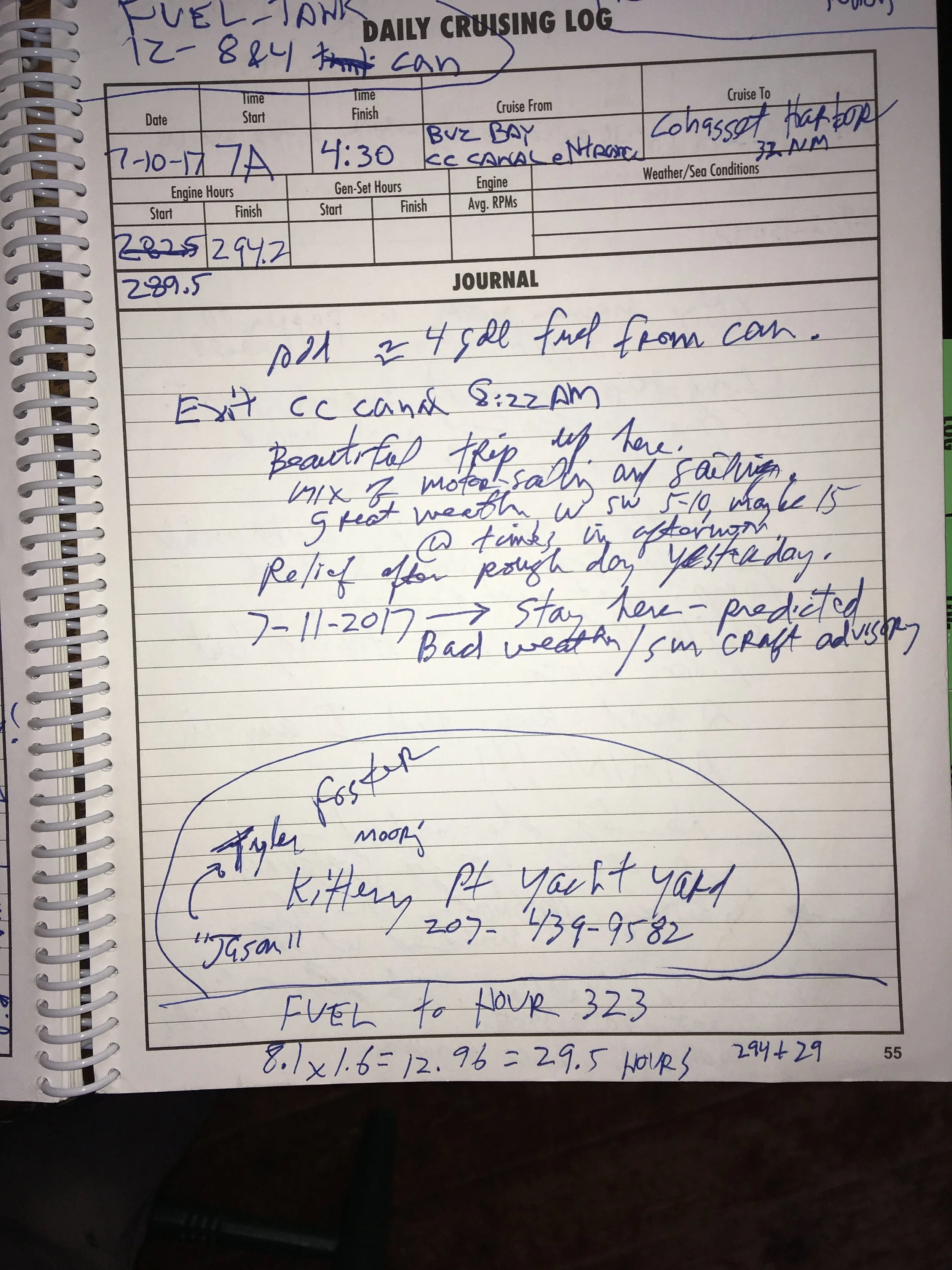
So I’m southeast of Boston a ways. I spent quite a while figuring out where my next stop should be. There are not lots of easy anchorages for a while heading north. I considered many options, all with some drawback or another. Eventually I plotted a course straight across the bay to the tip of Cape Ann, then directly to Portsmouth/Kittery. It was 52 nautical miles, and I knew I could do that in a day in good weather.
I held in Cohasset for a day to let some nasty weather blow by, and headed to Kittery the next day.
Sunrise in Cohasset. This was a pretty nice anchorage, though it’s ringed with boulders that are just under water at mid-tide, so you need to be careful picking your line on the way in and out.
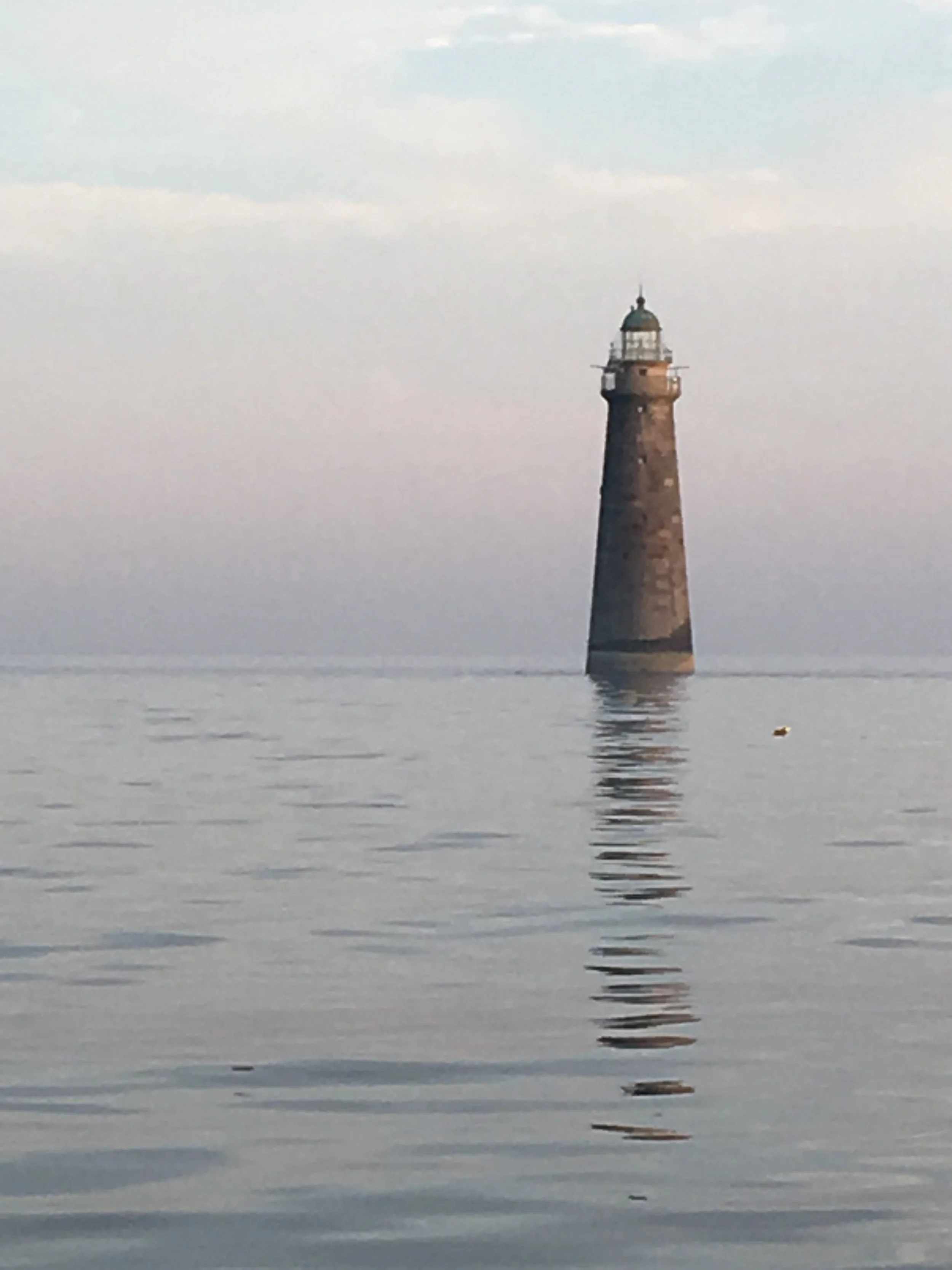
A pretty lighthouse off Cohasset.
There are twin lighthouses at Cape Ann. Look at that nice smooth day! It was great to have good weather on this long passage.
There was an issue with my throttle. There wasn’t enough friction in the mechanism to hold it in place. Good old white duck tape to the rescue. I did get the throttle issue resolved eventually.
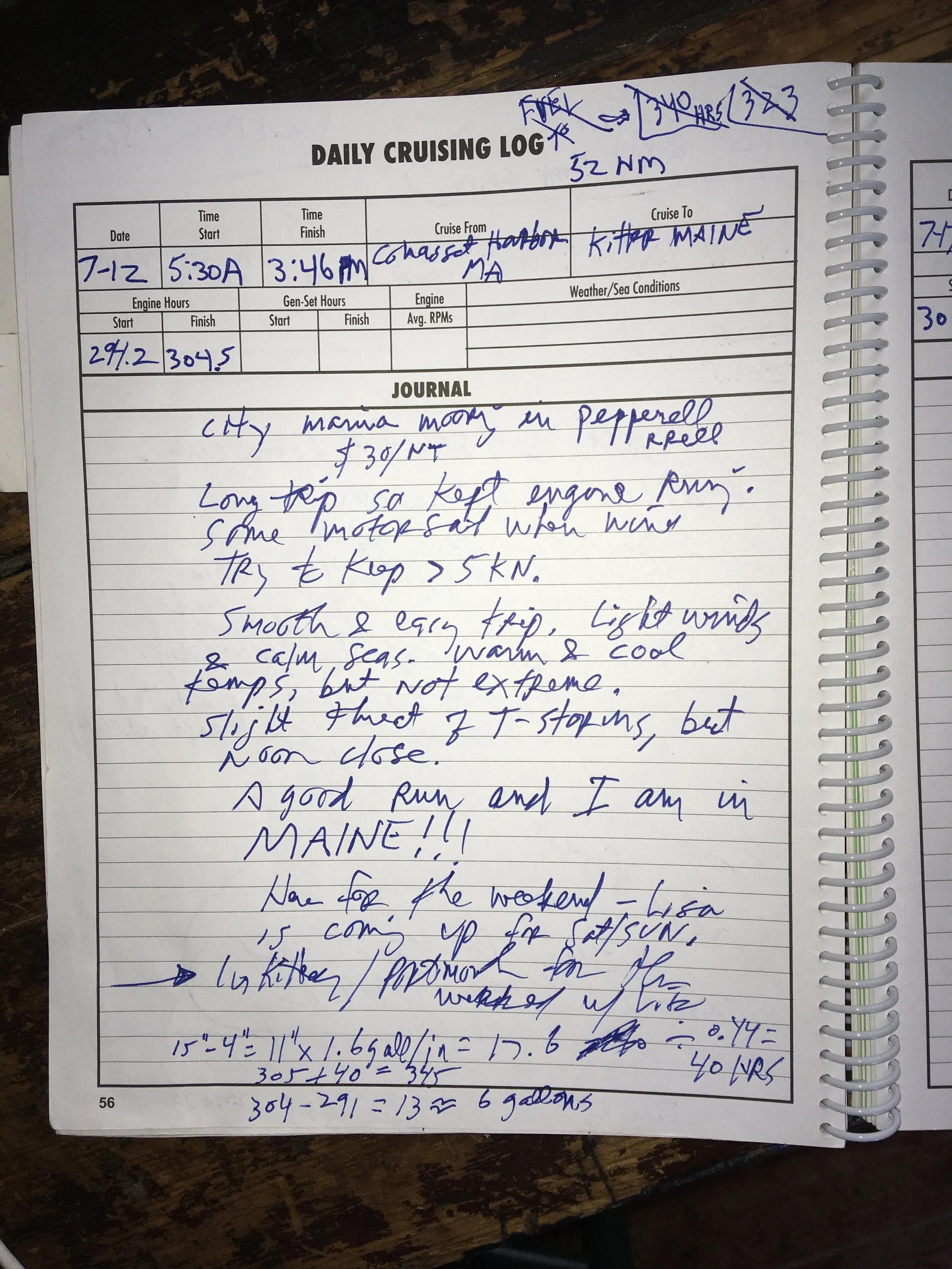
This must be coming into Portsmith/Kittery. It was a nice smooth day. I kept the motor running all day, and motor-sailed when there was wind. I need to keep my speed up above 5 kn to be sure I made Kittery before dark.
Here I am on a mooring at the public dock in East Kittery Maine. I was pretty damned happy and excited to be in Maine at last.
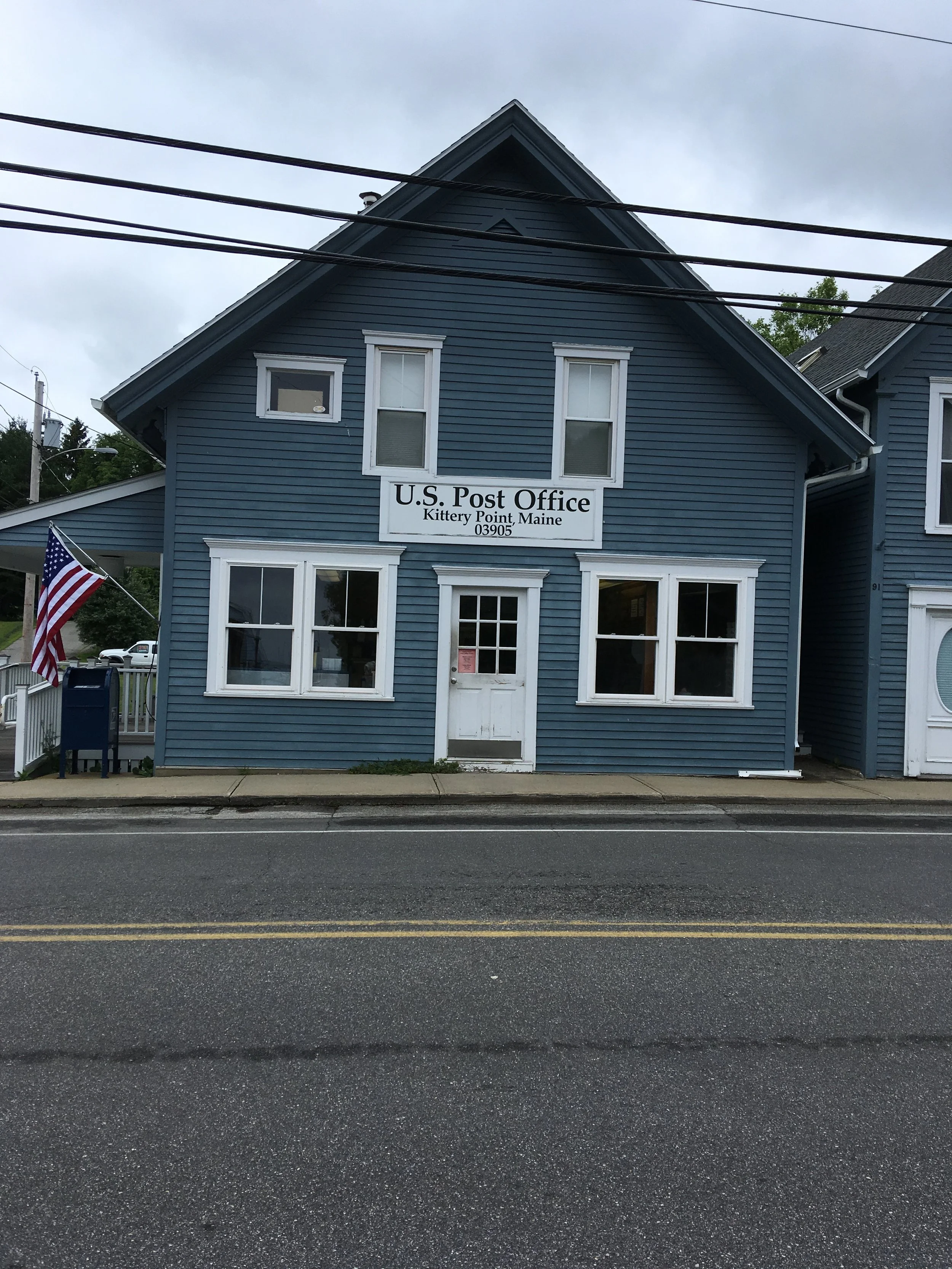
I got my dinghy inflated and rowed into shore. I thought I was in Kittery, and walked into town. I didn’t look real closely at the sign on the post office, and I thought, jezz, Kittery’s a lot smaller town than I thought it was! But in fact I was on Kittery Point, in East Kittery, and that’s a whole different thing than Kittery proper.
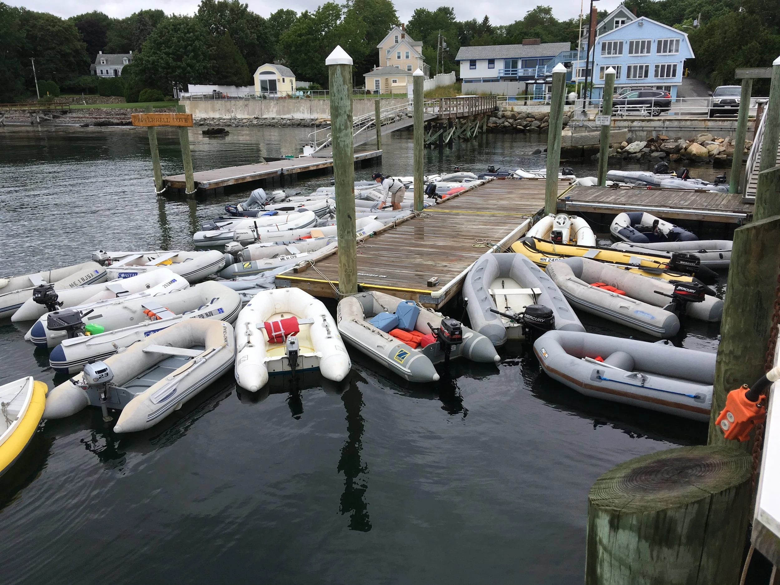
I just love a crowded dinghy dock. It makes my heart sing. My skiff is lower right— couldn’t get in any closer to the dock
I stayed in Kittery for a number of days. My sweetheart came up the following weekend, and I was happy to spend some time here. The mooring at the public dock was $25 a night and I was glad to pay it. I could have anchored right outside, next to the mooring field, but, you know, me and anchoring. Also the Piscataqua River flows mightily through here and I slept better on the mooring.
It’s quite a hike into Kittery from where I was, but I really wanted a nice breakfast out. So the morning after I arrived I rowed in and started hiking toward town. I hadn’t hitch-hiked anywhere, or tried to, since I was in my 20’s, but I decided to stick out my thumb and see what happened. The very next car stopped and picked me up. I got to talking with the nice middle-aged woman driving the car, and mentioned I was headed in to a particular restaurant for breakfast (I’d checked on the internet and found one that looked promising). She suggested I go to the Beach Pea instead, and she was going right past it. So I tried that instead and it was great. The picture above shows a lunch I had there, but the breakfast was great too. I like the restaurant so much I usually stop in when I’m driving in and out of Maine.
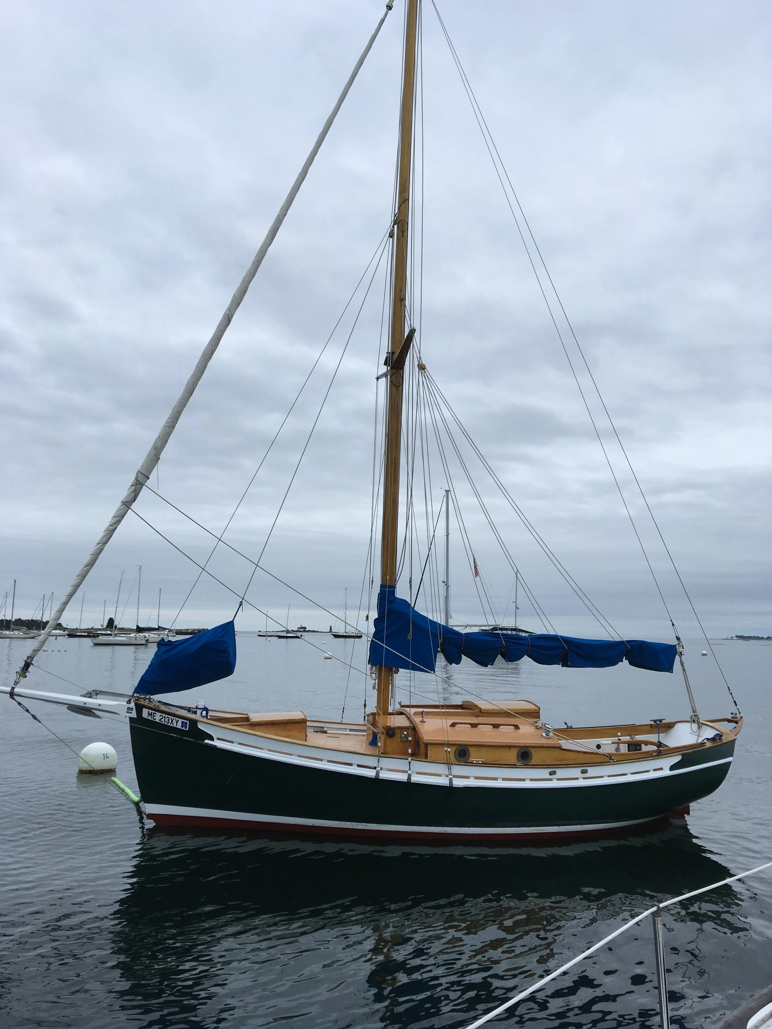
Fairlady at a mooring at the Kittery public dock.
Another breakfast out. I love having breakfast out! Another To Do list.
I think this is an exceptionally good looking small sailboat, and beautifully maintained. I was immediately smitten with her. Yeah yeah, I like the traditional look in sailboats.
Another view of this lovely boat. Look at that sheer line!
Time to get back to sailing.
The coast of Maine below Portland does not have a plethora of good anchorages, and Biddeford Pool was the best candidate.
Leaving Portsmouth/Kittery
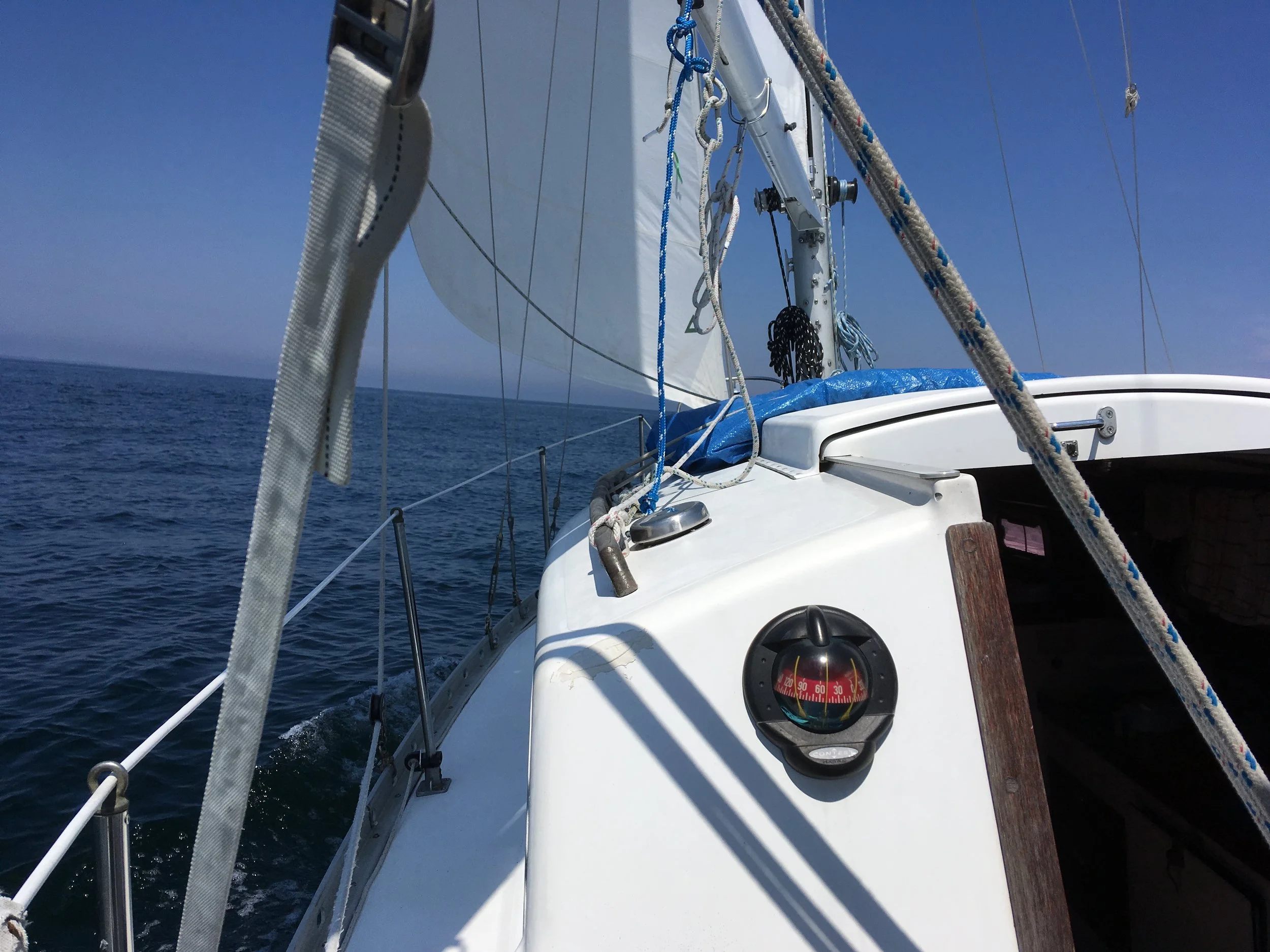
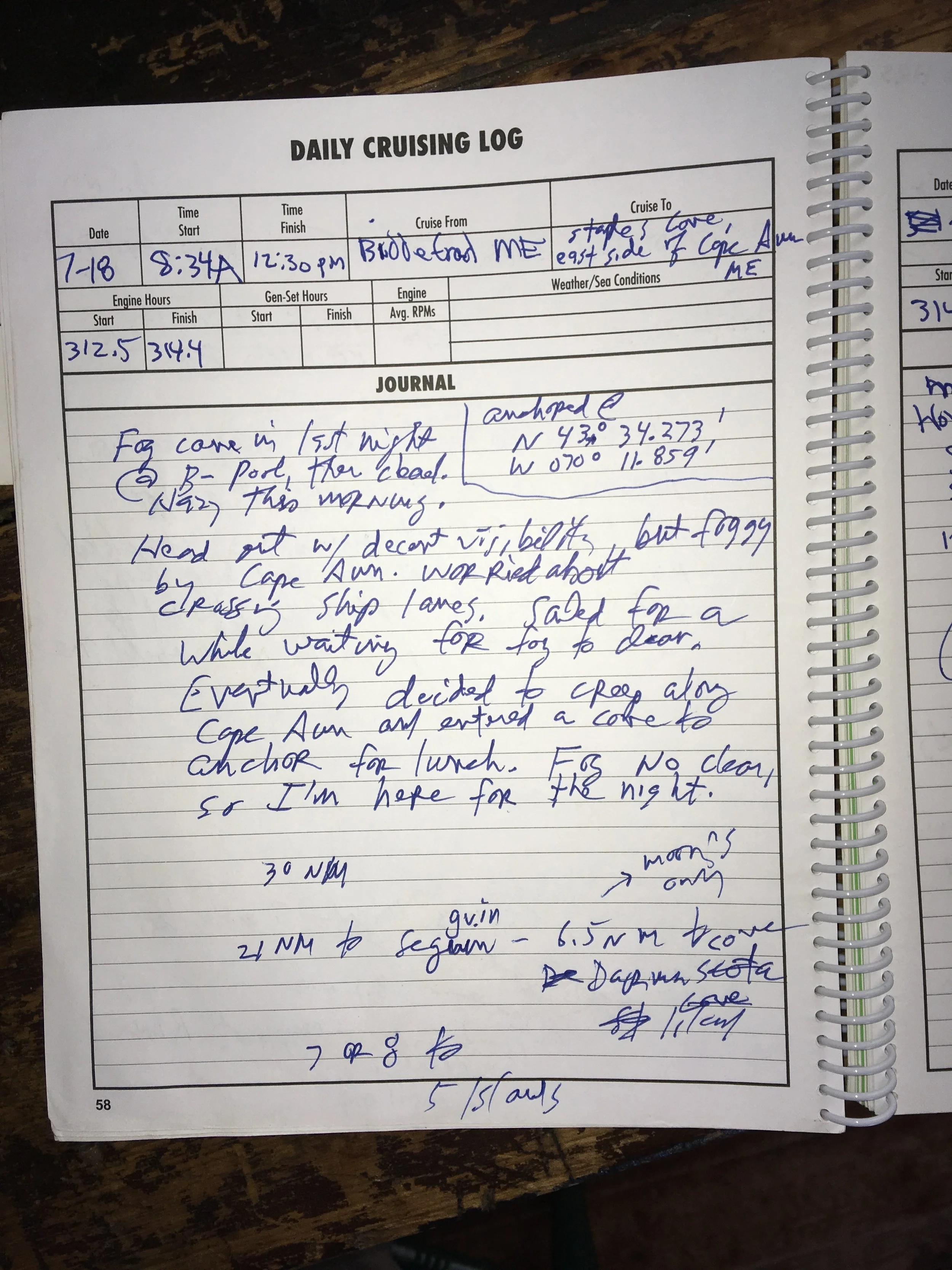
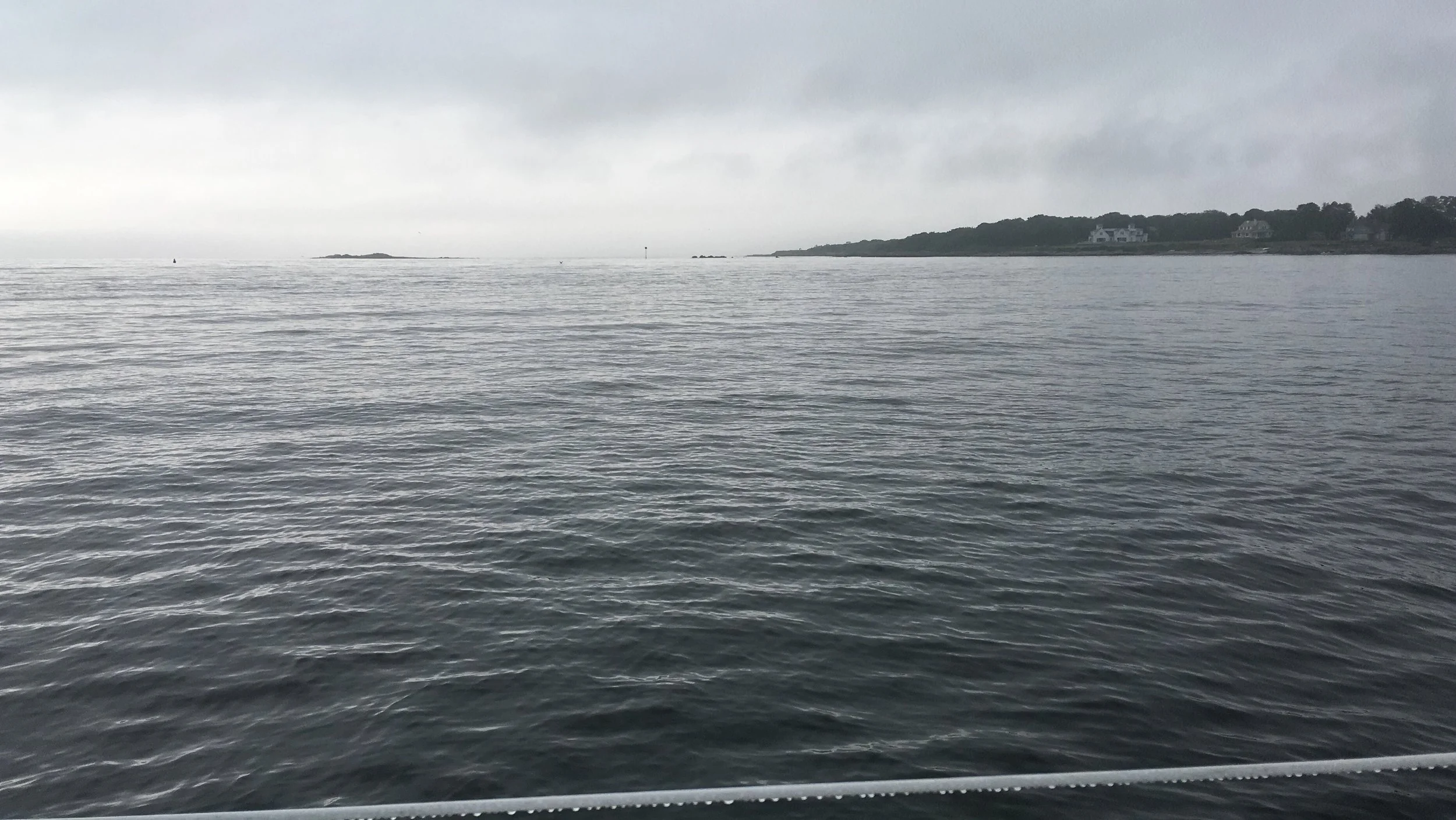
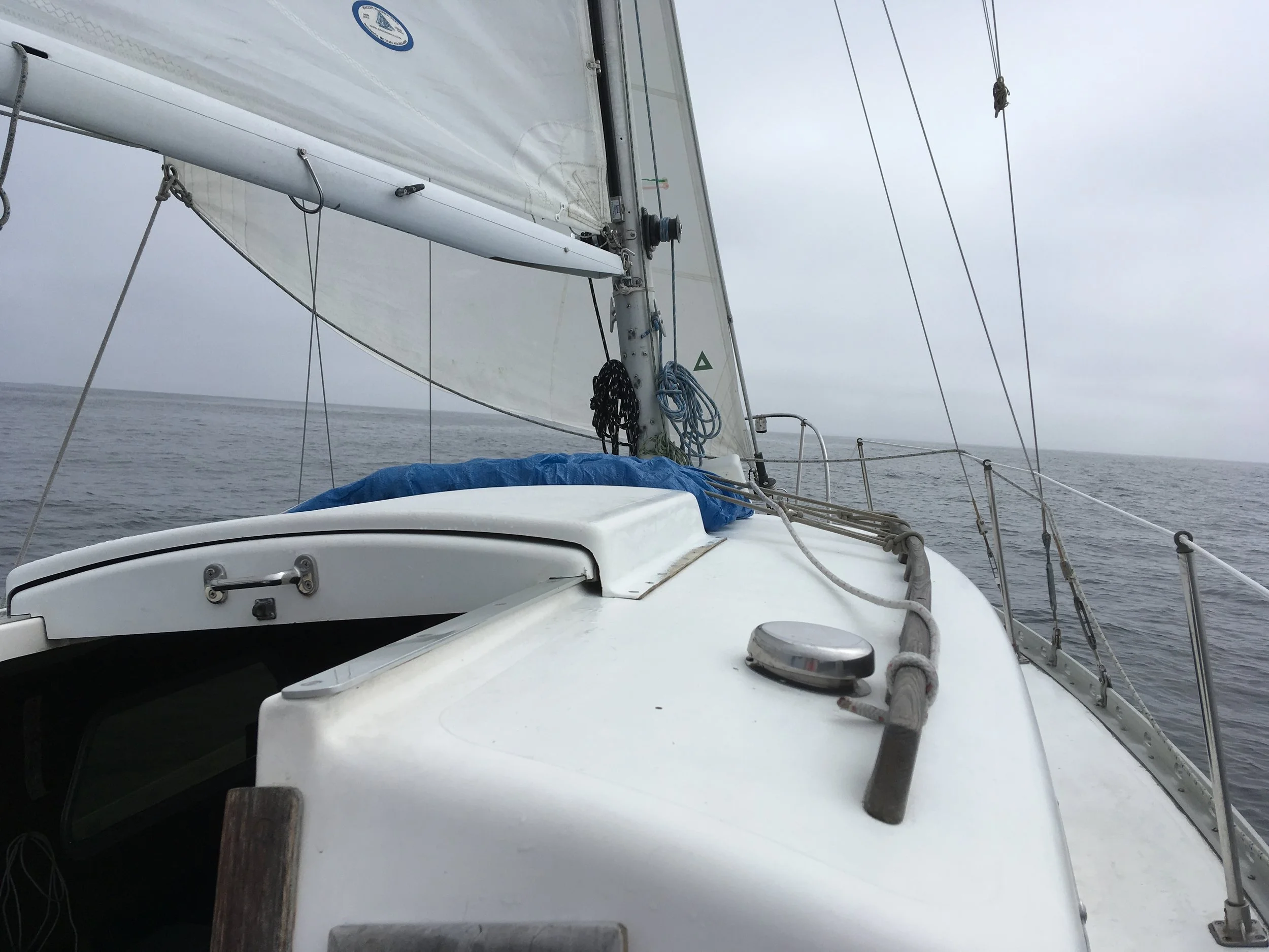
Under way. Is that fog up there? Maine is rather known for it’s fog, so I was not surprised. It didn’t get bad this day.
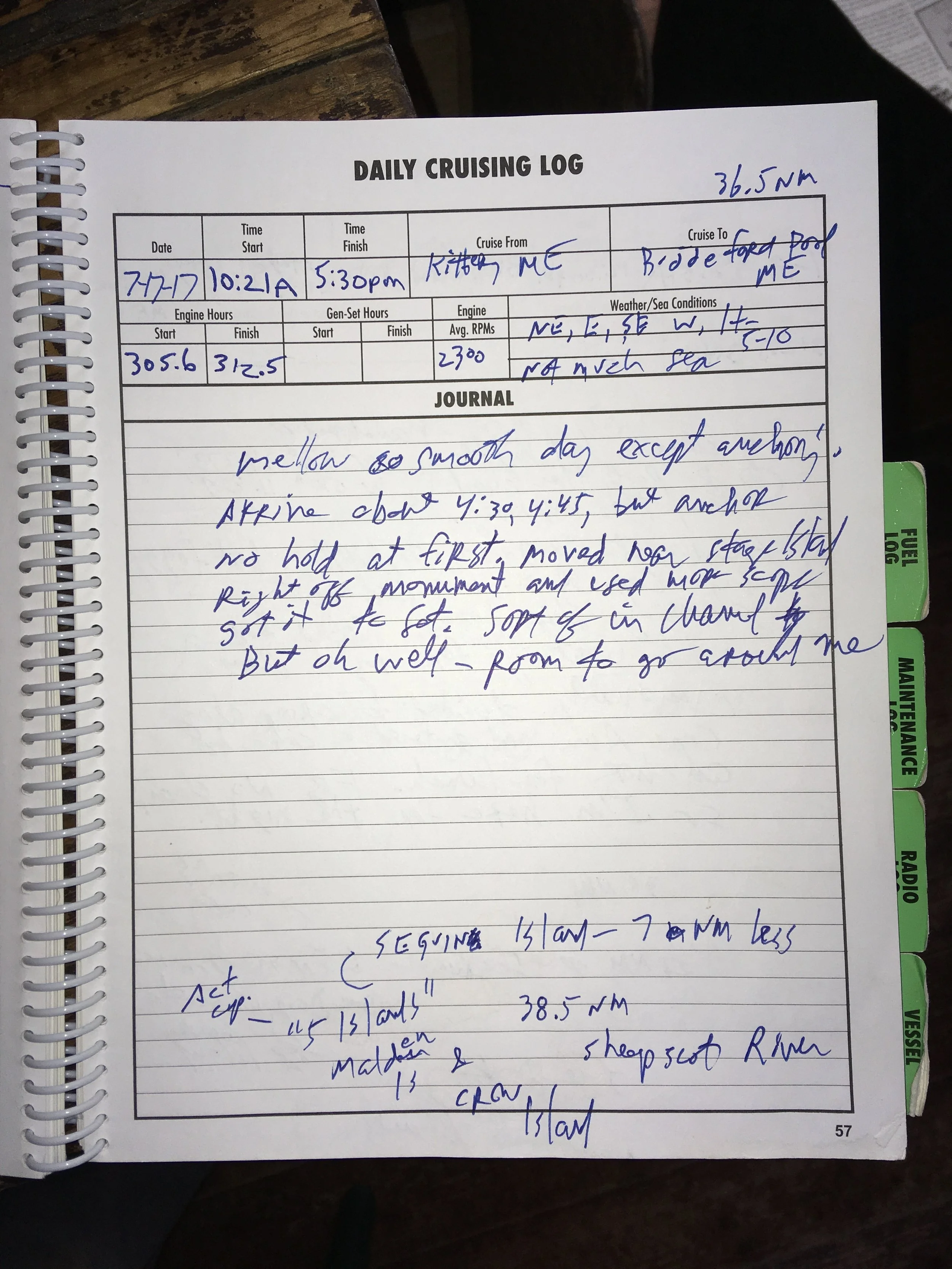
At anchor, Biddeford Pool. There are a number of moorings here, but they were all taken. There were a number of boat already anchored and I had to squeeze in behind them. I picked a spot and tried several times to get my anchor set, but it kept dragging— maybe in a kelp field or something. Anyway, I went back next to Stage Island, right next to the monument, and anchored there. I was hair-raisingly close to the island, and slightly blocking the channel, but… sometimes you just gotta do what you have to do.
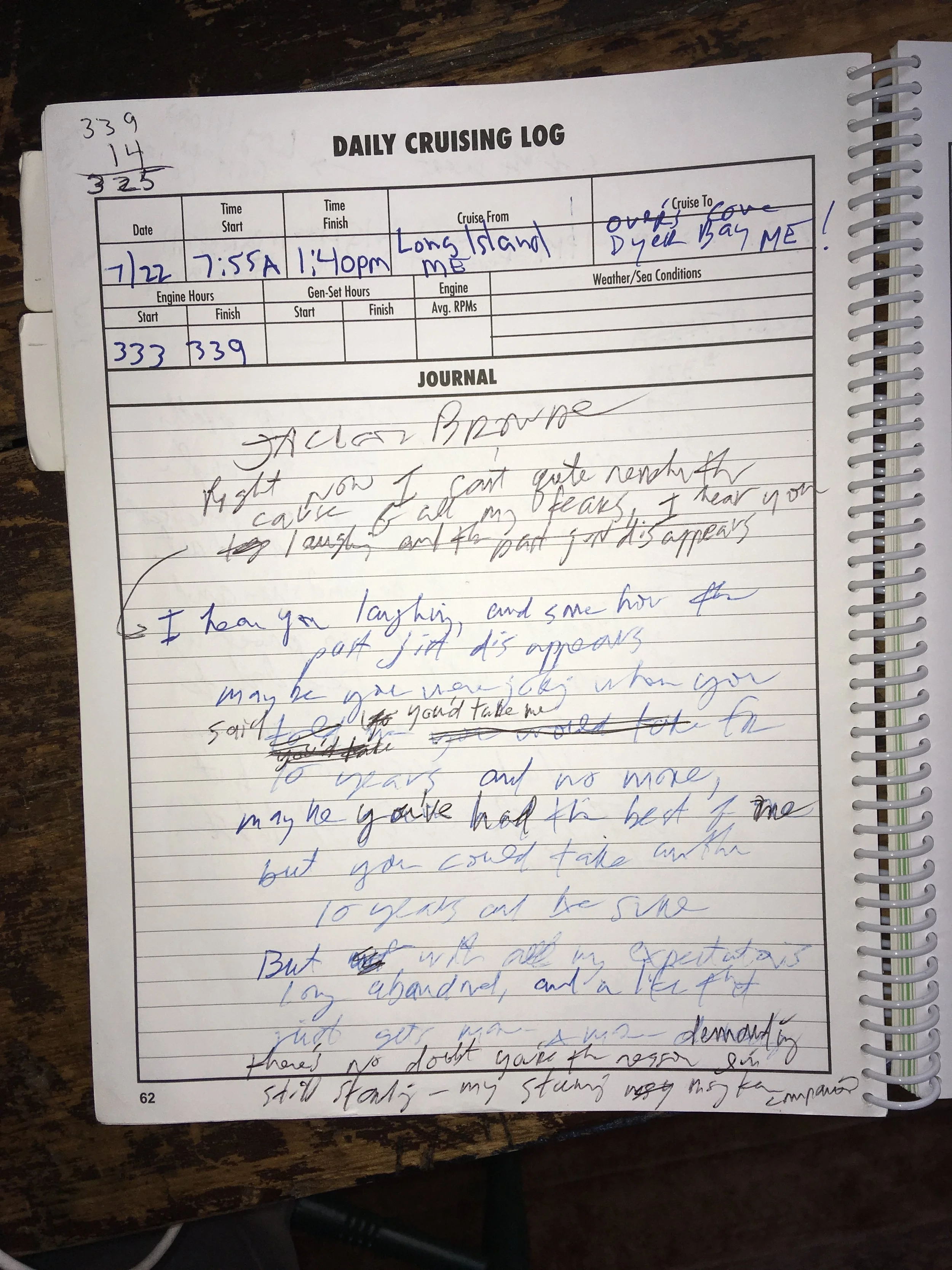
The log page above refers to Cape Ann several times, and of course I meant Cape Elizabeth. Cape Ann is in MA, and Cape Elizabeth is in Maine, just south of Portland. Doh!
6:20am. Fog—- we’re in Maine
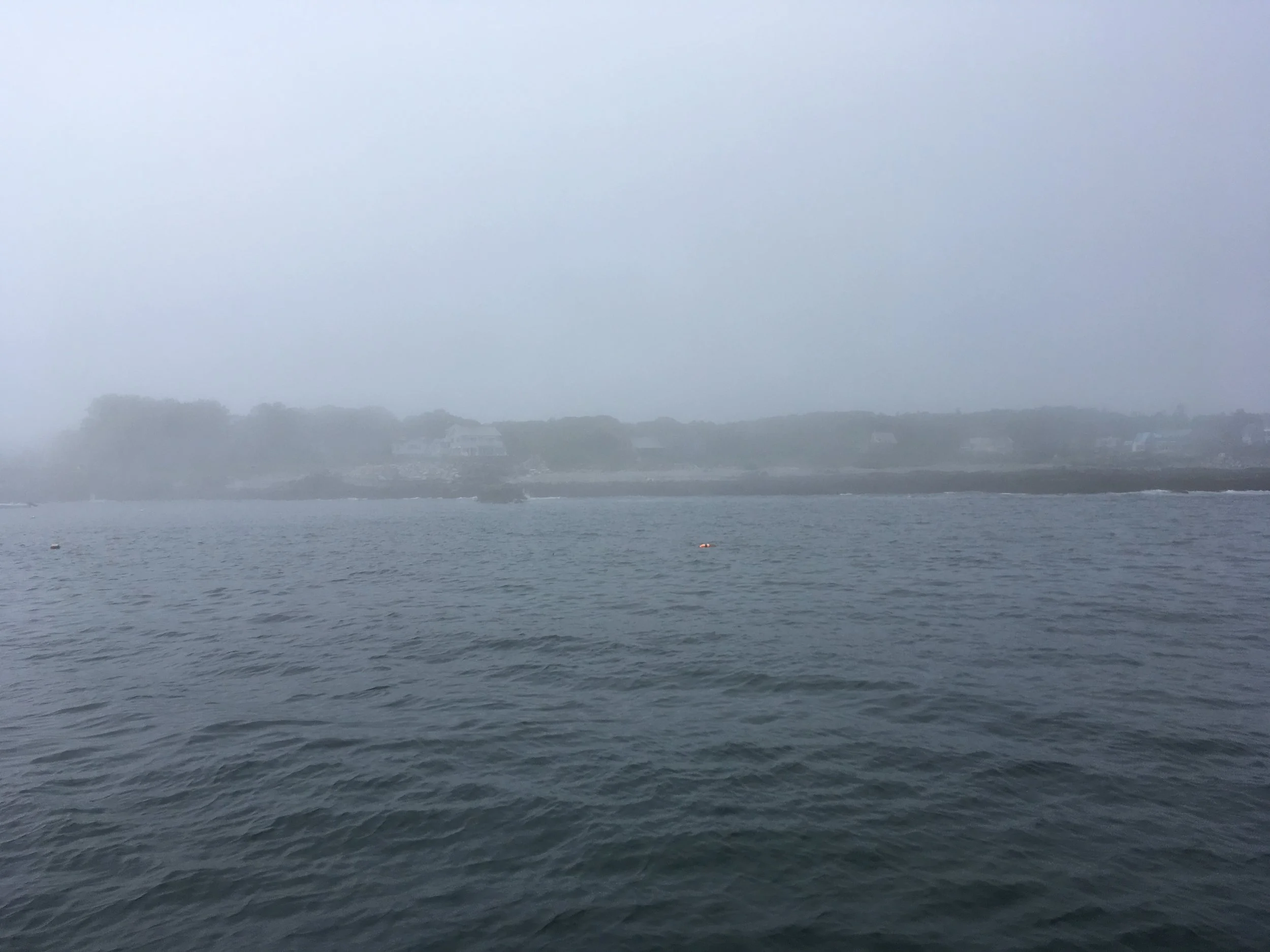
It opened up some by 7:30am. I waited around for another couple hours and decided to venture on. It was okay at first, then visibility really closed in. There were a number of navigation buoys out around Cape ELIZABETH, and I proceeded cautiously from one to the next. I was pleased and relieved that I was able to do this. Seeing the buoy in real life just as I saw the boat come up to it on the chartplotter emboldened me to keep going. I figured I’d crawl around Cape Elizabeth and follow the shore till I found some reasonable place to anchor. It’s hard to estimate how much visibility I had, and it varied, but maybe ranged from 75 feet to a couple hundred feet.
I was pretty sure there would not be any ship traffic in this close to shore. And all the commercial fishing boats would have radar and presumably see me on that.
I ducked in at the first substantial cove I came to, Staples Cove, and anchored. When I went in I could not see anything of the shore or the boats moored in the cove. I planned to stay for lunch and move on, but visibility remained bad for the rest of the day and I anchored overnight.
Staples Cove around 1pm.
My view astern. I had a fairly comfortable night here.
It’s still grey, but clear to the horizon. This passage took me past Portland and Casco Bay. I figured there might be some ship traffic in and out of Portland, so I kept my eyes open. And I did see one large ship inbound and altered course a bit to come behind him.
A hot lunch, toast and soup. Usually lunch is two peanut and butter sandwiches prepared in the cockpit, but this day I was pulling out all the stops. Note pans wired to stove a la Fran.
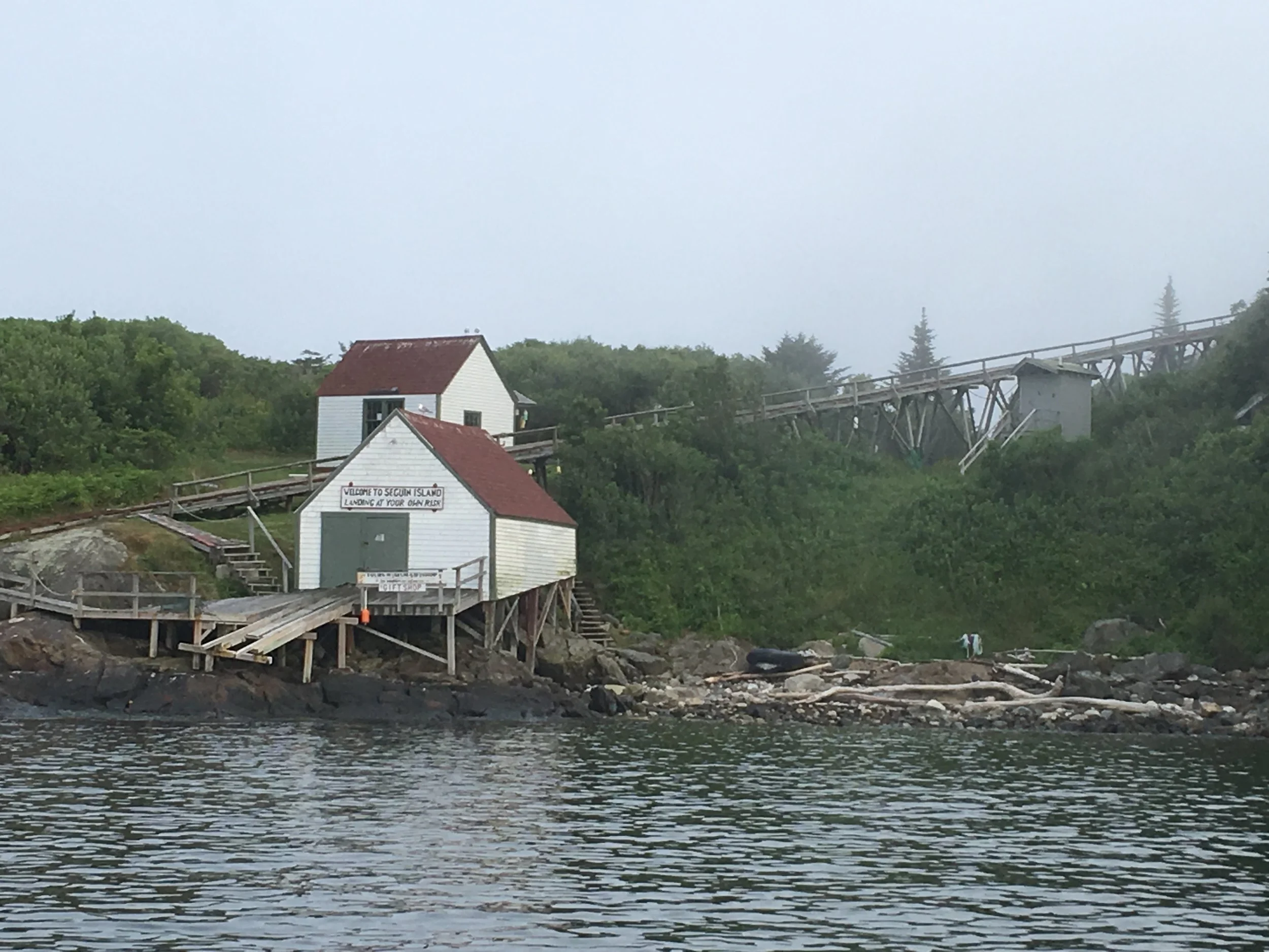
Approaching Seguin Island
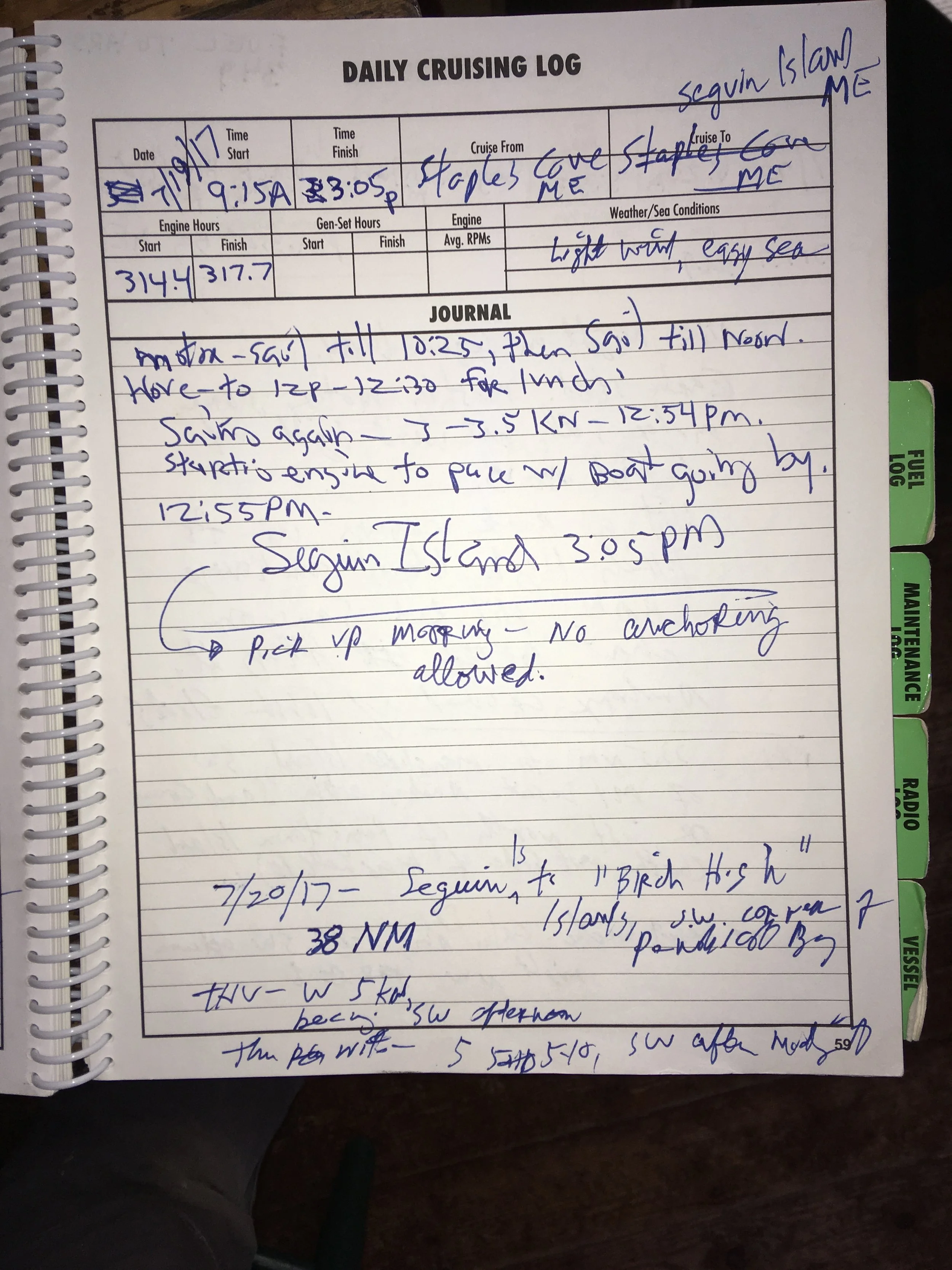
This was an awesomely cool stop. The only nerve wracking thing was that you could not anchor here, the water was too deep. They had a number of guests moorings, and I was afraid I’d get out there and there would be none left, and if were late in the day, I’d be a bad situation. The next nearest safe place is quite distant. But thankfully there was a mooring available. ActiveCaptain members remarked that the moorings were impossibly close together, and some impossibly close to the shore, but that they seemed to work okay. My experience was that all of that is true. This place is some sort of preserve now, and there are caretakers who live there. You are free to come ashore and visit. I thought about it, but it’s a production to get my dinghy inflated and then stowed again. The folks in the picture above appeared to be visitors who came out for the day.
Other boats moored at Sequin.
Cool, eh? Another nice feature of this stop, if you’re trying to make time getting up or down the coast, and that it’s off the coast a bit. So you don’t take up any time getting in and out of an anchorage tucked way up some bay.
5am at Seguin Island.
6:20am. Nice morning light. A quintessential Maine image— blue sky, connifers, rock and sea.
Leaving Sequin Island. This was a great stop, but it’s time to press on.
Another baby cruise ship stunningly similar to the one I saw early in my trip.
This is a darned impressive looking sailing machine. You need to have real money to own and operate something like this.
Another quintessentially Maine view.
At anchor, late afternoon at Birch High Islands in the Penobscot Bay. This was a pretty nice anchorage.
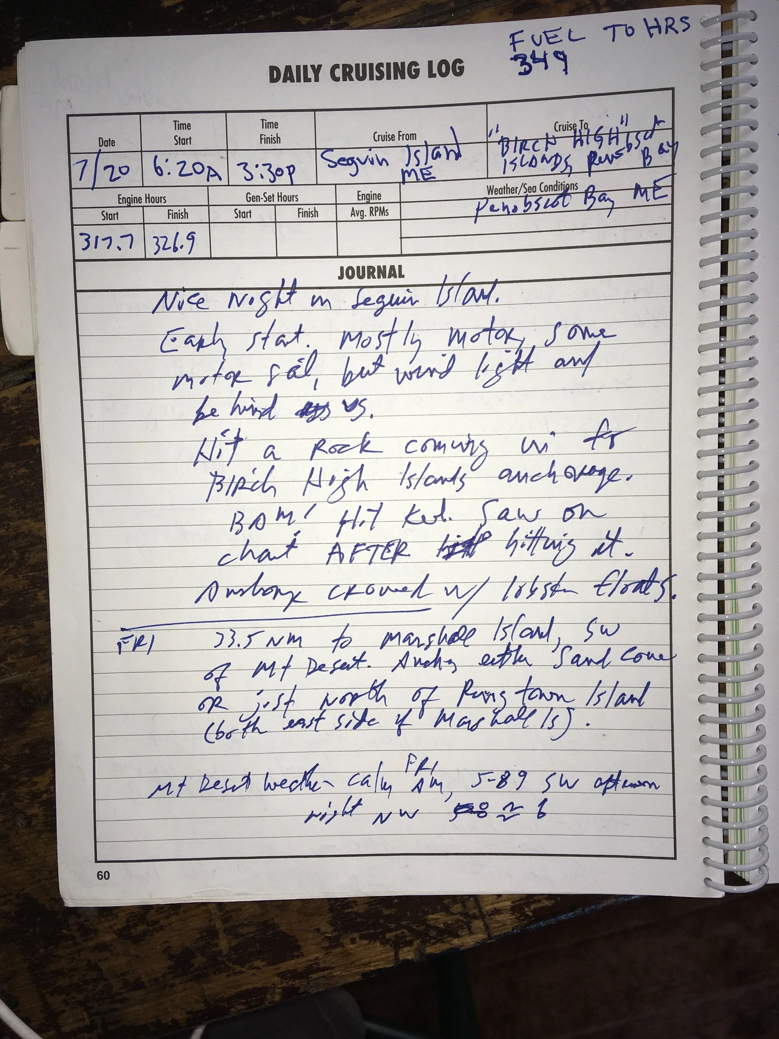
You can’t see them in the picture, but there was a huge number of lobster trap floats in this cove, making it hard to find a space big enough to stay away from them. The rope (or, properly, warp) that connects the trap to the float delight in wrapping around my spade rudder and fin keel if given half a chance.
I just noticed in the log about the rock I hit. I was watching the chartplotter carefully, but managed to slam into a rock. I thought I was in the middle of the opening into this area, but no. When I scrutinized the chart later I saw an asterisk right around where I was when I hit. Asterisks are used on charts to indicate big rocks you can run into, and somehow I missed that one. When I hauled out I could see the damage— some of the fiberglass that covers the cast iron keel was broken off. But no serious damage. Fairlady’s a tough old girl!
Sun rising out of the fog. Very similar to a sunrise earlier in the trip, I think it was Watt’s Cut, just north of Beaufort.
It’s not as obvious in the picture as in real life, but those are layers of fog in front of that island. Quite cool to see.
Thar ya go… another Maine lighthouse. I’m curious what that structure to the left of the lighthouse might be.
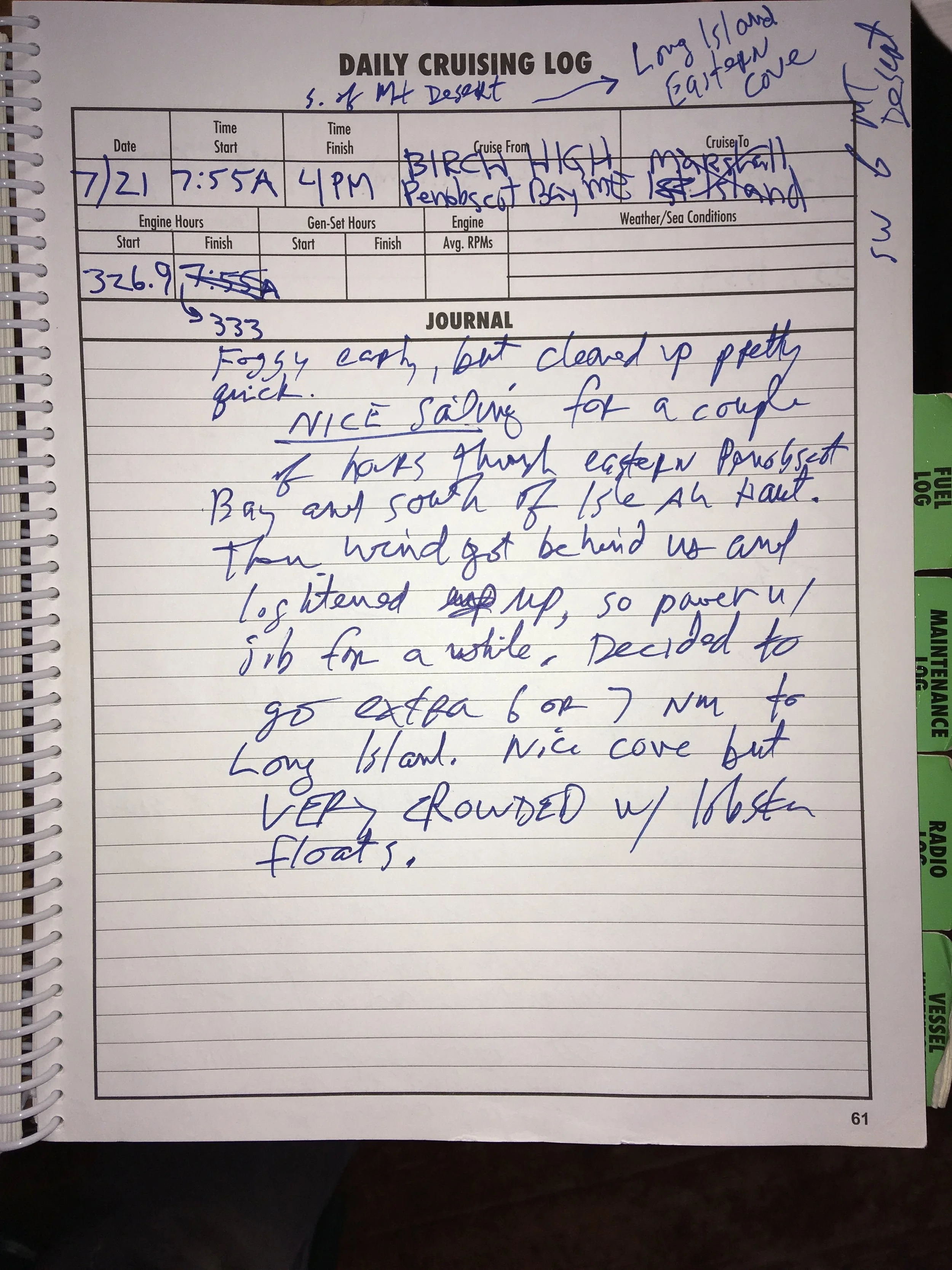
Anchored in Eastern Cove, Long Island ME. Another nice anchorage but for the hundreds of lobster trap floats.
But it was a pretty spot. We’re looking forward toward an isthmus connecting two islands. I had to look up the word isthmus to see if it really was a word, and to learn how to spell it. The word surfaced in my mind and I wasn’t sure. I basically don’t know how to spell anything, so thank goodness for spell checkers.
The notes in the log page above don’t have anything to do the trip. They are the lyrics of a Jackson Browne song I was inordinately preoccupied with at the time.
Sunrise. A little after 5am.
So here we are, the last day of the trip!
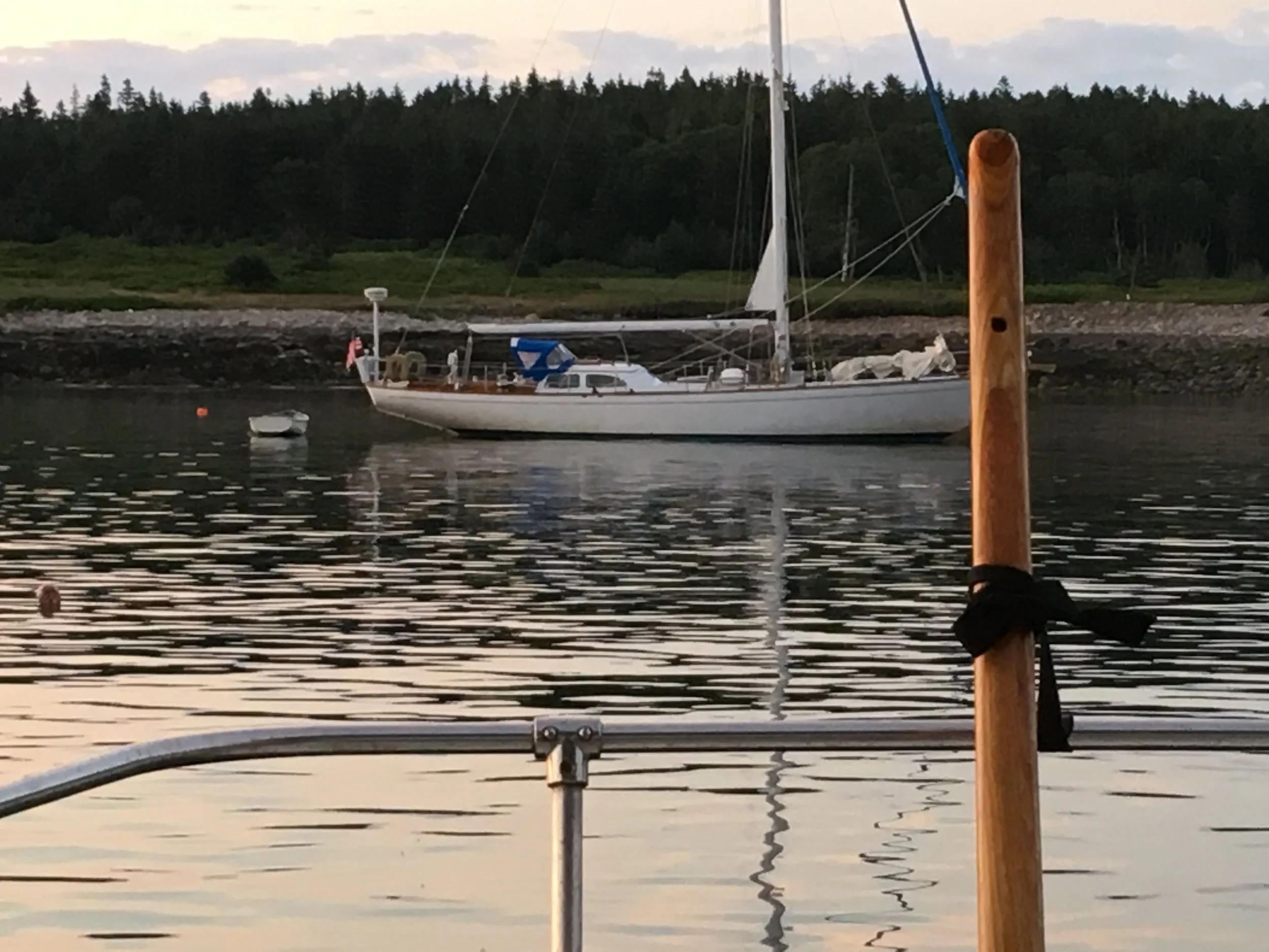
My neighbor for the night. Quite a handsome big sloop.
Water, rock, conifers.
Under way. Destination Dyer Bay, Over’s Cove, Steuben ME
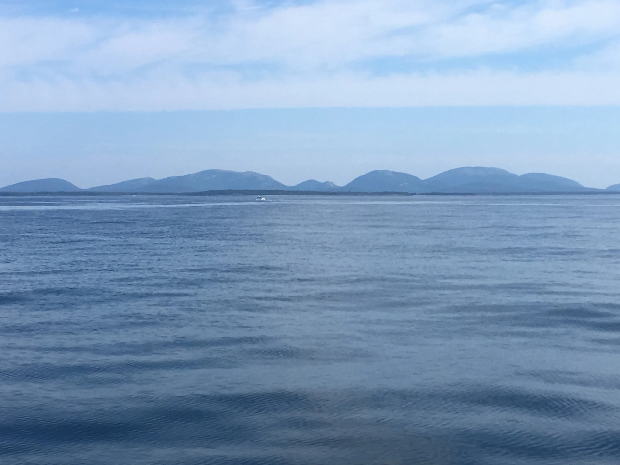
The hills & mountains of Mt Desert Island.
Typical lunch, prepared in the cockpit.
The home stretch. Heading through the ledges that line the mouth of Dyer Bay.
Heading up Dyer Bay. In recent years the quantity of lobster fishing gear has just gone crazy. All those dots are floats and its getting harder and harder to pick your way through them.
Fairlady moored at her hailing port for the first time
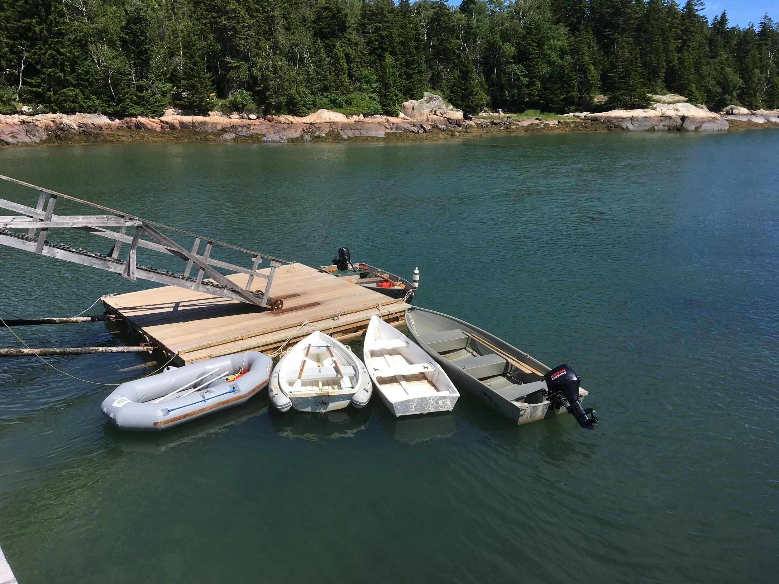
Nice seeing my inflatable tied up to the community dock in Over’s Cove.
Well, that’s it. It’s been a lot of fun putting this together and a nice opportunity to reminisce about the trip. I guess if you made it this far you found some merit in my modest effort.
Be well, fair winds!
Rob Feeney
